Isolated severe thunderstorms with locally damaging wind gusts and hail are possible Monday across parts of the Southeast U.S. Elevated to critical fire weather including gusty winds and low relative humidity is forecast Monday over much of the northern Great Plains. Above normal temperatures in the Southeast and Southwest U.S. will bring moderate to isolated major HeatRisk Monday. Read More >
Indianapolis CWSU
Center Weather Service Unit
Indianapolis, IN
Center Weather Service Unit
| Current Conditions | Turbulence | Thunderstorms | Icing | Surface Weather | Local Radar | Wind Profiles | TAFs |
|
En-Route | Jet Stream Winds |
Turbulence |
 |
 |
|
Icing |
5000/5 Conditions |
 |
 |
|
Thunderstorms |
Altimeters |
 |
 |
|
|
Satellite
 Ohio Valley Visible Satellite Image (Loop) |
 Ohio Valley Infrared Satellite Image (Loop) |
|
||
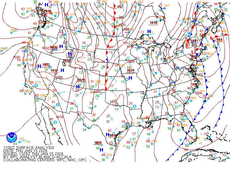
 United States Surface Analysis |
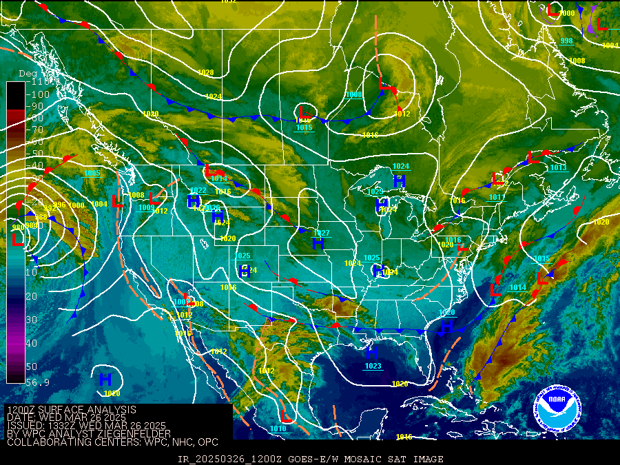
 United States Surface Analysis with Satellite |
US Dept of Commerce
National Oceanic and Atmospheric Administration
National Weather Service
Indianapolis CWSU
C.O.: ARTCC
1850 S. Sigsbee Street
Indianapolis, IN 46241-3640
Comments? Questions? Please Contact Us.


 Weather Story
 Weather Map