Please help the National Weather Service spread these important safety messages on social media! Everyone is welcome to use the text and images provided below to help the NWS build a Weather-Ready Nation.
Facebook
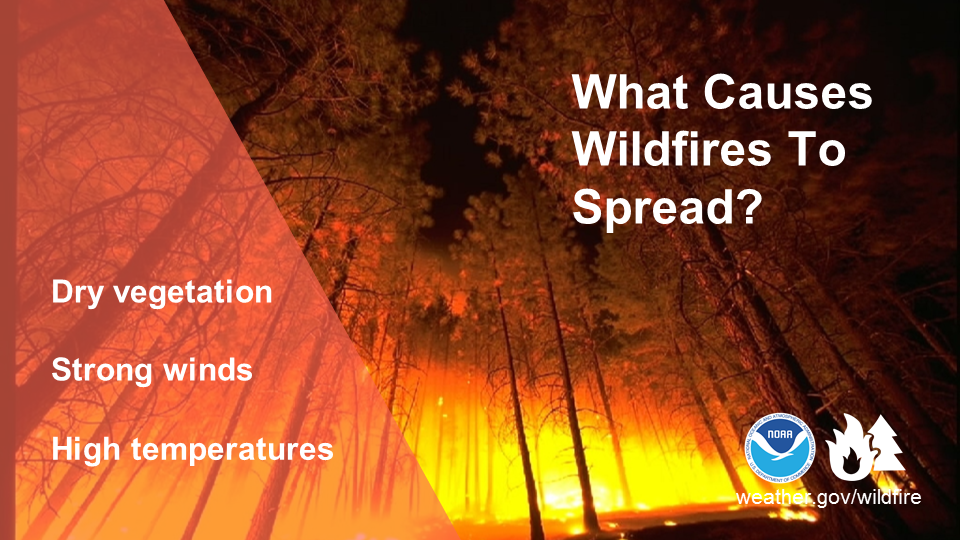
What causes wildfires to spread? The main culprits are dry vegetation, strong winds, high temperatures, and drought conditions. To stay #WeatherReady and protect yourself from wildfires, visit weather.gov/wildfire #WildfireScience
Twitter
What causes wildfires to spread? The main culprits are dry vegetation, strong winds, high temperatures, and drought conditions. To stay #WeatherReady and protect yourself from wildfires, visit weather.gov/wildfire #WildfireScience
Facebook
Wildfires killed an estimated 90+ people in the U.S. in 2018. Do you know the basics of #WildfireSafety? Stay #WeatherReady by watching this short video: https://youtu.be/OGiRja2EZJ8
Twitter
Wildfires killed an estimated 90+ people in the U.S. in 2018. Do you know the basics of #WildfireSafety? Stay #WeatherReady by watching this short video: https://youtu.be/OGiRja2EZJ8
Facebook
In 2018, wildfires burned over 8 million acres, destroyed over 25,000 structures, and were responsible for over 90 deaths (estimated). Let’s do our part to keep this year’s totals well below those numbers. weather.gov/safety/wildfire-ready #WildfireSafety
Twitter
In 2018, wildfires burned over 8 million acres, destroyed over 25,000 structures, and were responsible for over 90 deaths (estimated). weather.gov/safety/wildfire-ready #WildfireSafety

Facebook
There are a lot of factors that determine the speed of wildfires. Check out the infographic below to learn a little #WildfireScience, and visit weather.gov/safety/wildfire for the latest safety tips.
Twitter
There are a lot of factors that determine the speed of wildfires. Check out the infographic below to learn a little #WildfireScience, and visit weather.gov/safety/wildfire for the latest safety tips.

Facebook
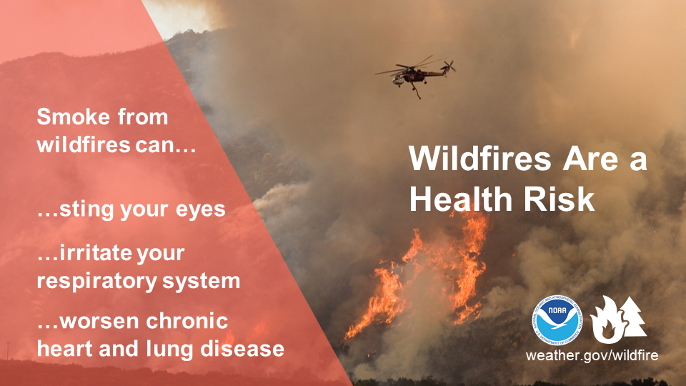
Wildfire smoke can harm you in multiple ways. Smoke can hurt your eyes, irritate your respiratory system, and worsen chronic heart and lung diseases. Learn how you can protect your health and be safe if you are exposed to wildfire smoke. http://emergency.cdc.gov/disasters/wildfires/smoke.asp #WildfireSafety
Twitter
Learn how to protect yourself from wildfire smoke. http://emergency.cdc.gov/disasters/wildfires/smoke.asp #WildfireSafety
Facebook
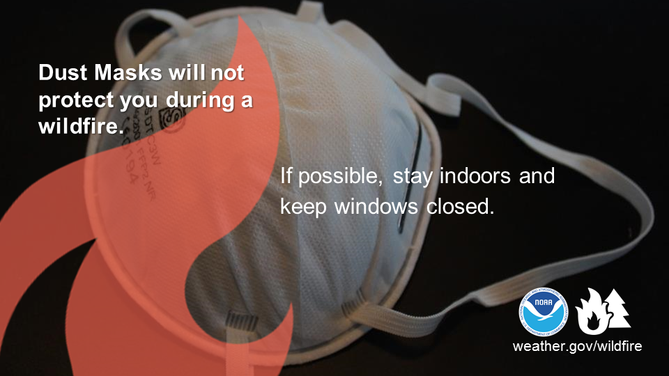
During a wildfire, dust masks aren’t enough! They won’t protect you from the fine particles in wildfire smoke. It is best to stay indoors, keeping windows and doors closed. If you’re running an air conditioner, keep the fresh-air intake closed and the filter clean to prevent outdoor smoke from getting inside. airnow.gov/index.cfm?action=smoke.index #WildfireSafety
Twitter
Dust Masks aren’t enough to protect you from the wildfire smoke particles. airnow.gov/index.cfm?action=smoke.index #WildfireSafety
Facebook
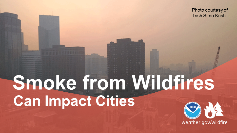
Wildfire smoke is a mix of gases and fine particles from burning vegetation and other materials. It can travel hundreds of miles and cause health concerns. Learn how to drive safely if smoke is affecting visibility in your area: http://emergency.cdc.gov/disasters/wildfires/smoke.asp #WildfireSafety
Twitter
Wildfire smoke can travel 100s of miles and affect cities. Learn how to drive safely if smoke is affecting visibility in your area: http://emergency.cdc.gov/disasters/wildfires/smoke.asp #WildfireSafety
Facebook
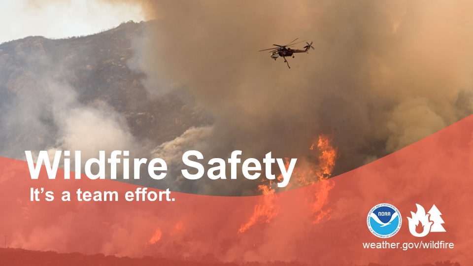
NOAA's National Weather Service works with federal and state wildland managers to protect lives and property in and around America's wildlands. A visit to our Wildfire Safety site will help you prepare, be aware and act early if a wildfire comes your way. weather.gov/wildfire #WildfireSafety
Twitter
Prepare, be aware and act early if a wildfire comes your way. weather.gov/wildfire #WildfireSafety
Facebook
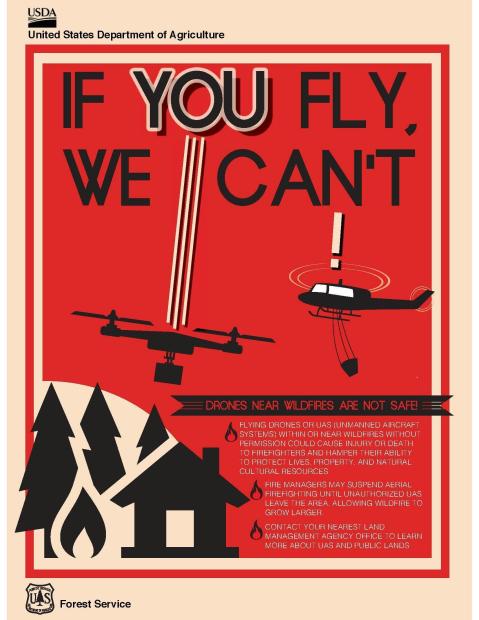
If you fly, we can’t! Drones near wildfires are not safe. Only authorized aircraft are permitted near wildfires. Let wildland firefighters do their job to keep the public safe. https://www.youtube.com/watch?v=06pz4GW7mY0 #WildfireSafety
Twitter
If you fly, we can’t! Drones near wildfires are not safe. https://www.youtube.com/watch?v=06pz4GW7mY0 #WildfireSafety
Facebook
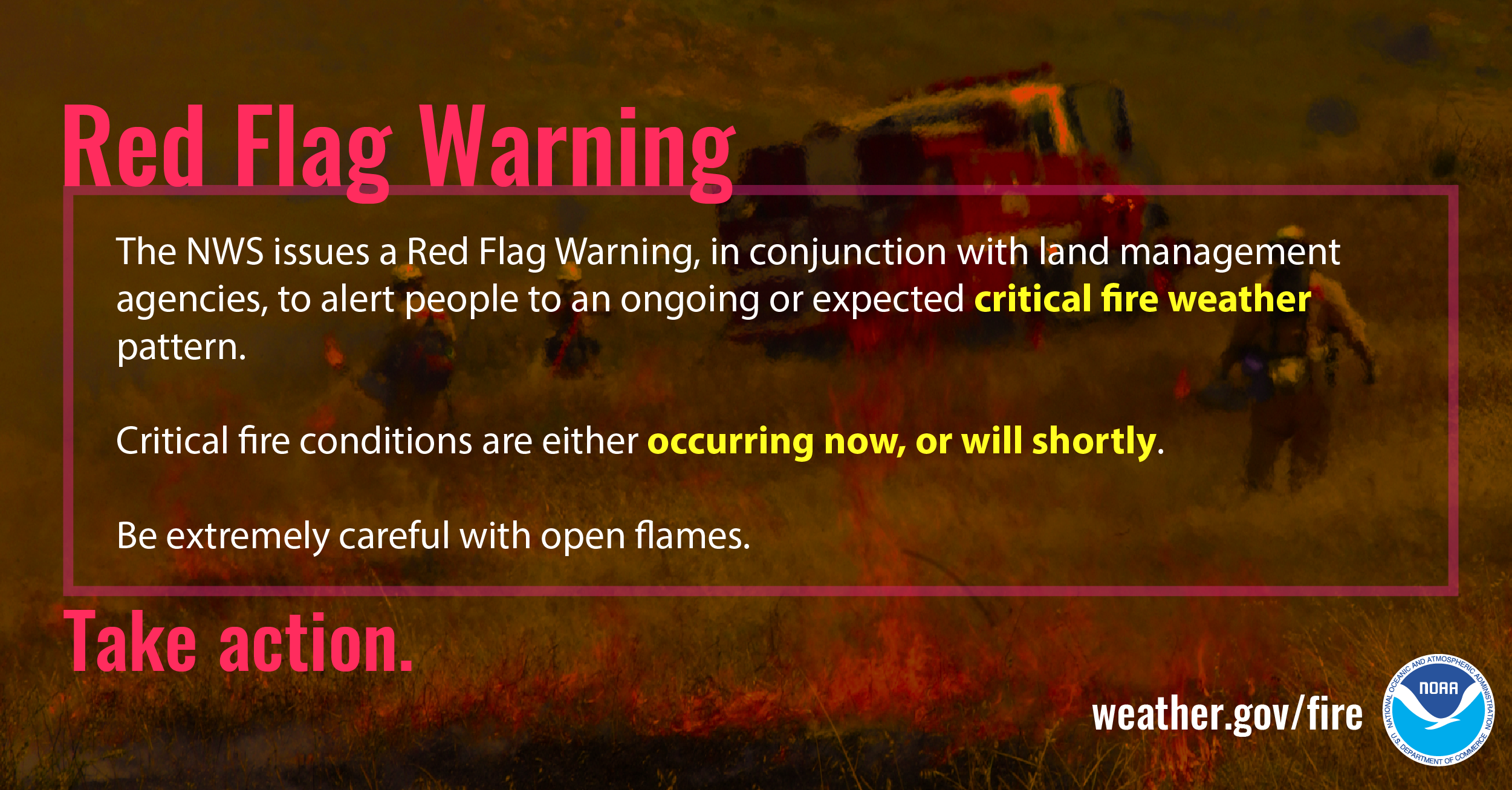
The NWS issues a Red Flag Warning, in conjunction with land management agencies, to alert land managers to an ongoing or imminent critical fire weather pattern. If a Red Flag Warning is issued, it means critical fire conditions are either occurring now, or will shortly. For more information, visit weather.gov/safety/wildfire-ww #WildfireSafety
Twitter
Understand Fire Weather Watches and Warnings by visiting weather.gov/safety/wildfire-ww #WildfireSafety
Facebook
A Red Flag Warning means TAKE ACTION, critical fire conditions are either occurring now, or will shortly. A Fire Weather Watch means BE PREPARED, critical fire weather conditions are expected possible but not imminent or occurring. Learn more at weather.gov/safety/wildfire-ww #Wildfire Safety
Twitter
Know the difference between a Red Flag Warning and Fire Weather Watch. weather.gov/safety/wildfire-ww #WildfireSafety

Facebook
Did you know that National Weather Service meteorologists work on-scene at large wildfires? These Incident Meteorologists (IMETs) go through extensive training and work in challenging conditions to support wildland firefighting and containment operations. Learn what it’s like for an IMET working a wildfire: weather.gov/news/imet-article #WildfireSafety
Twitter
Did you know that @NWS Meteorologists work on-scene at large wildfires? weather.gov/news/imet-article #WildfireSafety

Facebook
Your family may not be together when a disaster strikes, so it is important to plan in advance: how will you get to a safe place; how you will contact one another; how and where you will meet; and what will you do in different situations. Create a Family Communications Plan. ready.gov/make-a-plan #WildfireSafety
Twitter
Your family may not be together when a disaster strikes. Make a plan ready.gov/make-a-plan #WildfireSafety

Facebook
During wildfire season, visit AirNow to get the Air Quality Index in your area. Wildfire smoke can cause health problems during prolonged exposure, so it is best to know the air quality in your area in case you are planning an outdoor activity, such as camping. airnow.gov/index.cfm?action=airnow.main #WildfireSafety
Twitter
During wildfire season, stay healthy. Get the Air Quality Index in your area. airnow.gov/index.cfm?action=airnow.main #WildfireSafety

Facebook
During wildfire season, visit airquality.weather.gov to get hour by hour predictions of wildfire smoke and other pollutants for your area. #WildfireSafety
Twitter
During wildfire season, visit airquality.weather.gov to get hour by hour predictions of wildfire smoke and other pollutants for your area. #WildfireSafety
