A frontal boundary extending from the western High Plains to the Southeast will focus additional showers and thunderstorms this weekend. Some of these storms may become severe, alongside frequent lightning, and isolated instances of flash flooding. Meanwhile dry conditions will continue for the Great Basin where fire weather concerns linger. For the mid-Atlantic and Northeast, seasonable weather. Read More >
Las Vegas, NV
Weather Forecast Office
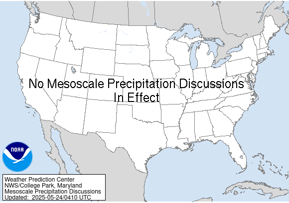
| Mesoscale Precipitation Discussion | Day 1 Outlook | Day 2 Outlook | Day 3 Outlook |
 |
 |
 |
 |
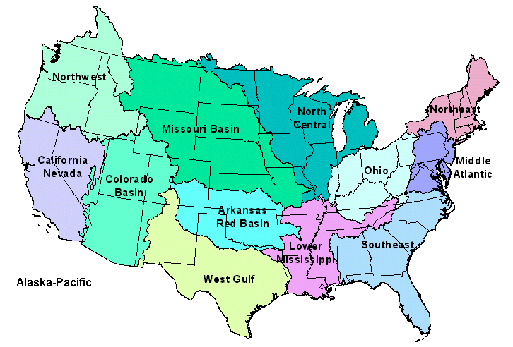
| Clark County Regional Flood Control District | ALERT MAP |
| Mohave County Flood Control District | ALERT MAP |
| San Bernardino County Flood Control District | ALERT MAP |

FORECASTS
Forecast Discussion
Recreation Areas
Travel
Aviation
Harry Reid Dashboard
Soaring Forecast
Fire Weather
Severe Weather
Hurricane Center
HeatRisk (Experimental)
Activity Planner
User Defined Area
Local Area
CURRENT CONDITIONS
Observations Map
Satellite
Precipitation
Road Conditions
Local Co-Op Observations
Area Webcams
RADAR
Las Vegas Radar
Edwards AFB Radar
Regional
National (preview)
National
PAST WEATHER
Local Climate Reports
Local Climate Resources
Drought
National
RIVERS AND LAKES
River Observations Map
Local Hydrology Resources
US Dept of Commerce
National Oceanic and Atmospheric Administration
National Weather Service
Las Vegas, NV
7851 S Dean Martin Dr.
Las Vegas, NV 89139-6628
(702) 263-9744
Comments? Questions? Please Contact Us.

