National Weather Service United States Department of Commerce

Flooding Risks from Tropical Moisture Across the Southeast and Southwest

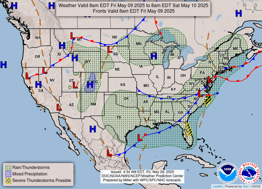
Tropical moisture from Isaias and Rachel will impact portions of the Southeast and Southwest this weekend. Flash flooding, strong winds and even a threat for severe thunderstorms and tornadoes are possible. Meanwhile, strong winds and dry fuels are raising fire weather concerns across the central Great Basin and western High Plains. Across the northern Rockies, first winter storm of the season. Read More >

Widespread Flood Watches have been posted for much of the region starting Saturday afternoon and evening through early Monday morning. The potential exists for several instances of flash flooding across the region and localized rainfall totals exceeding 1 inch.
Remnants of Tropical Storm Rachel will move through early Sunday morning, with a low pressure system digging into the region behind it; resulting an increased flash flood risk as multiple rounds of storms move through southern Nevada, southeastern California, and northwestern Arizona.
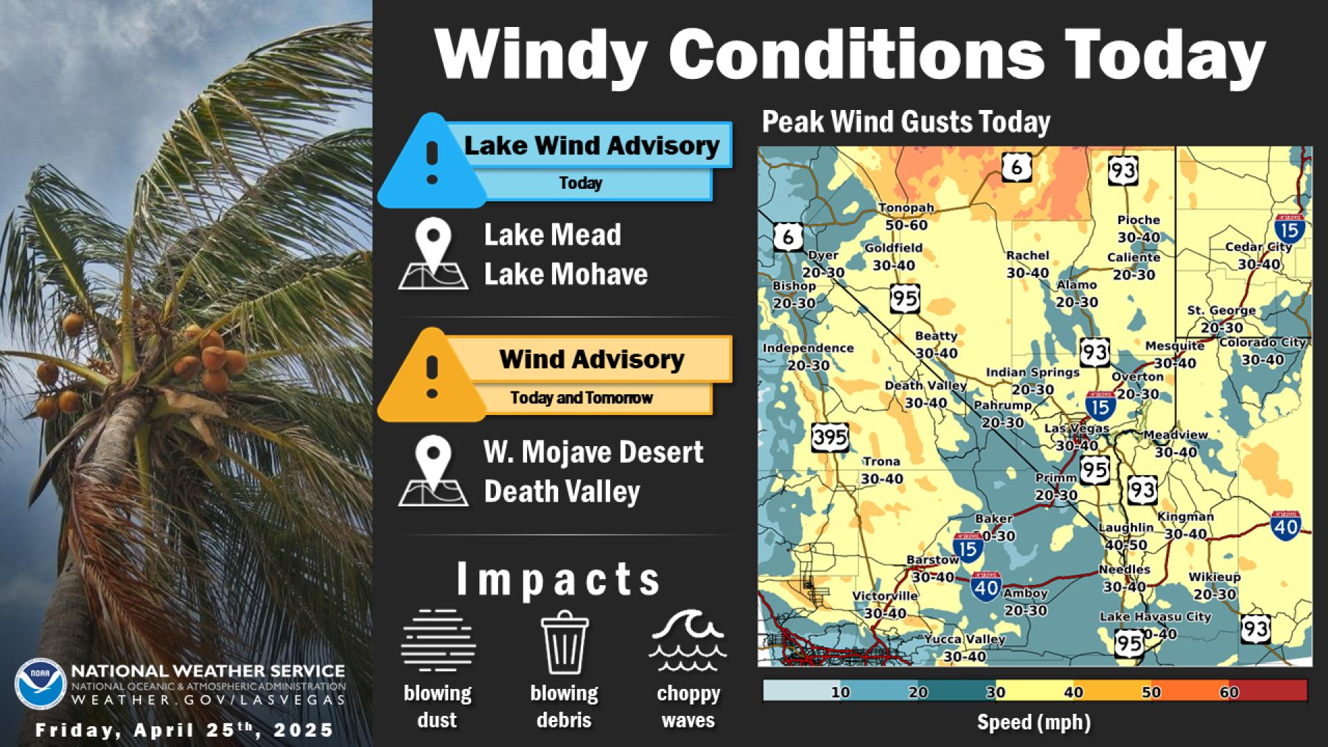
The remnants of Tropical Storm Rachel will bring gusty southerly winds to the region, picking up this afternoon and continuing through early Monday. Widespread gusts of 45-55 mph are expected, with higher gusts to 60-65 mph across higher terrain and through favored passes and downslope areas, mainly across southern Nevada and northwestern Arizona. Be careful, and watch for crosswinds and blowing dust, especially before the rain begins!
In addition to heavy rain and flash flooding, gusty southerly winds will pick up across the southern Great Basin out ahead of the low pressure system and will also accompany Rachel's remnant circulation. Not seeing your city on the Weekend Weather Timeline? Go to: https://www.weather.gov/forecastpoints and enter your location to get the most up to date forecast information.