A strong backdoor front will move across Southeast Arizona from the east Thursday night into Saturday. A High Wind Warning is in effect for much of southeastern Arizona on Friday with a Wind Advisory in south central to southwestern portions of the state. Elevated winds continue on Saturday with a Wind Advisory in effect for southeastern Arizona. The strongest winds may exceed 60 mph, especially in areas west-northwest of terrain.







 Forecast Discussion
 Tucson Radar
 MRMS radar imagery
 GOES-18
 Southern Arizona
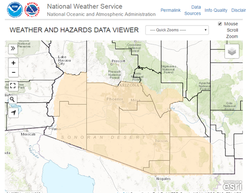 Detailed Hazards
 Weather Map
 Graphical Forecasts
 Heat Risk
 Monsoon
 Climate Graphs & Charts
 Fire Weather
 Tropical
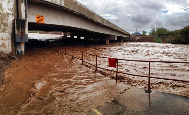 Hydrology
 Skywarn
 Drought Page
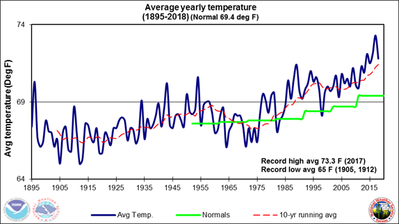 Past Tucson Climate reports
 Hourly Forecasts
 Follow us on X
 Follow us on Facebook
 Follow us on YouTube
 TWC RSS Feed