National Weather Service United States Department of Commerce

Elevated to Critical Fire Weather in the Southwest; Above Normal Temperatures for the West

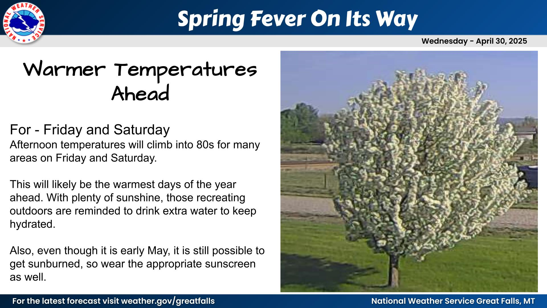
Elevated to critical fire weather conditions will persist across the Southern Plains and Southern Rockies this weekend due to strong winds and dry conditions. Warm temperatures will continue across the Great Basin and Southwest this weekend. Read More >

Click a location below for detailed forecast.

Last Map Update: Sun, Apr 13, 2025 at 10:58:29 am MDT

NWS Great Falls Radar Animation
A fast moving weather system will bring a period of snow and locally strong northwest winds to portions of north-central MT this morning. Snow will be most impactful near the north-central MT mountains with strongest winds just east/southeast of Snowies, Judith and Bears Paw mountains. Locally difficult road conditions are possible early this morning as snow combines with wind to produce lower visibility and slushy road surfaces with areas along US-87 and US-89 near the Little Belt, Snowy and Judith mountains most likely to be impacted. #MTwx
Northwest winds strengthen this morning on the back side of low pressure tracking across northeast MT with gusts in excess of 40 mph expected across much of north-central MT with gusts in excess of 55 mph across portions of Fergus county and locally near the central MT mountain ranges. Strong crosswinds could make driving difficult. Wind speeds peak this morning and slowly decrease this afternoon. #MTwx
The risk of an impactful spring storm system affecting portions of Montana later this week is increasing. Recent forecast trends suggest areas along/east of the Rockies as a focus for potentially significant precipitation and snow amounts. April weather is often volatile in the Northern Rockies and MT and there is a high amount of uncertainty in this early outlook, so stay tuned to forecasts if you have travel/outdoor plans or agricultural interests later this week. #MTwx.


Text Product Selector (Selected product opens in current window)
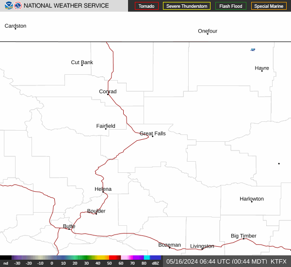