Lake effect snow will continue downwind of the Lower Great Lakes through Wednesday, with accumulations of 4 to 8 inches possible for portions of Upstate New York and the Adirondacks. Gusty winds and dry conditions will result in critical fire weather conditions in the Southwest and Southern Plains Wednesday through Friday. Red Flag Warnings have been issued. Read More >
San Juan, PR
Weather Forecast Office
Local cyclone Reports
| Year | Storm |
| 2024 | Tropical Storm Ernesto |
| 2022 | Hurricane Fiona |
| 2021 | Tropical Storm Grace |
| 2021 | Tropical Storm Fred |
| 2020 | Tropical Storm Laura |
| 2020 | Tropical Storm Isaias |
| 2019 | Tropical Storm Karen |
| 2019 | Hurricane Dorian |
| 2017 | Hurricane María |
| 2017 | Hurricane Irma |
| 2015 | Tropical Storm Erika |
| 2014 | Tropical Storm Gonzalo |
| 2014 | Tropical Storm Bertha |
| 2013 | Tropical Storm Chantal |
| 2011 | Tropical Storm María |
| 2011 | Tropical Storm/Hurricane Irene |
| 2011 | Tropical Storm Emily |
| 2009 | Tropical Depression Erika |
| 2007 | Sub-Tropical Storm Olga |
| 2004 | Jeanne |
| 2000 | Debby |
| 1999 | Lenny |
| 1999 | Jose |
| 1998 | Georges |
| 1996 | Hortense |
National Hurricane Center Cyclone Reports
| 1995 | 1996 | 1997 | 1998 | 1999 | 2000 | 2001 | 2002 | 2003 | 2004 |
| 2005 | 2006 | 2007 | 2008 | 2009 | 2010 | 2011 | 2012 | 2013 | 2014 |
| 2015 | 2016 | 2017 | 2018 | 2019 | 2020 | 2021 | 2022 | 2023 | 2024 |
Extreme Rainfall Events
Flash Flood Event - February 4-6, 2022
Historical Floods for PR and the USVI
Heavy Rain and Flooding in USVI, Nov-Dec 2013
Record Rainfall and Flooding in San Juan Metro, July 2013
Extended Period of Heavy Rain and Flooding May 12-Jun 16, 2011
Flood Event of July 20-23, 2010
Aibonito Flood Event of Dec 24-25, 2009
Pre-Kyle Flood Event of Sep 20-23, 2008
Forecasts
Graphical
Tropical Weather
Aviation Weather
Hydrology
Marine Weather
Beach Forecast
Fire
Forecast Discussion
US Dept of Commerce
National Oceanic and Atmospheric Administration
National Weather Service
San Juan, PR
4000 Carretera 190
Carolina, PR 00979
787-253-4586
Comments? Questions? Please Contact Us.


 Graphical Hazardous Weather Outlook
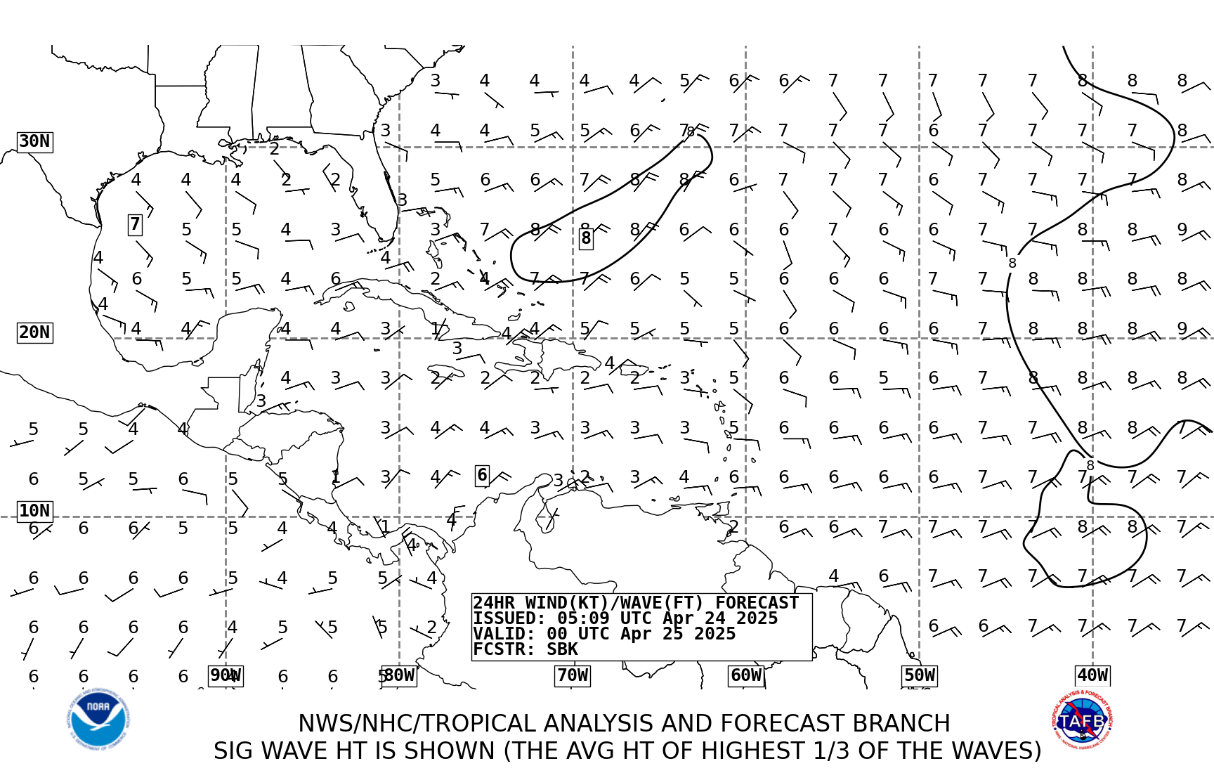
 Tropical Analysis
 Tropical Weather
 Regional Satellite
 Puerto Rico and US Virgin Islands
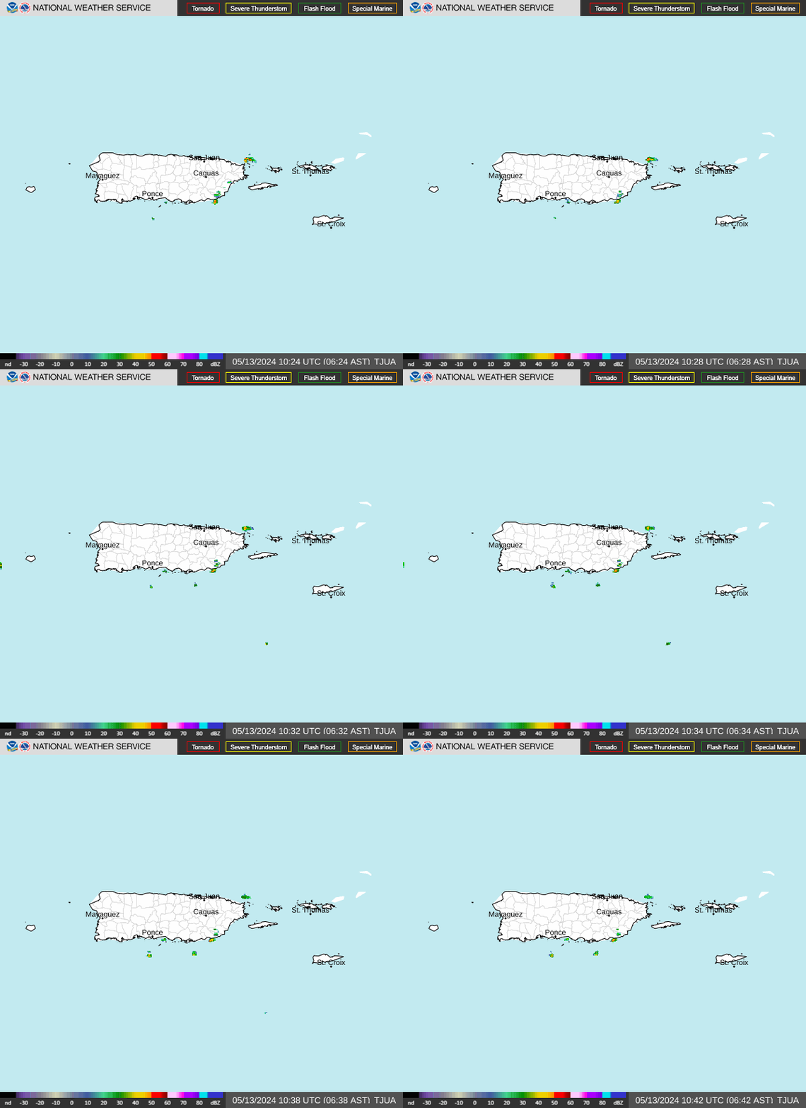
 Local Radar