National Weather Service United States Department of Commerce

Areas of Excessive Rainfall and Severe Thunderstorms on Wednesday

Heavy to excessive rainfall may produce additional flash flooding Wednesday across parts of the southern Plains where the greatest risk is along the Red River Valley into western Arkansas. Scattered severe thunderstorms are also possible centered on central Texas to eastern Oklahoma and western Arkansas. Large hail, damaging wind, and a few tornadoes will be possible. Read More >

Click a location below for detailed forecast.

Last Map Update: Wed, Apr 30, 2025 at 12:34:28 am AST
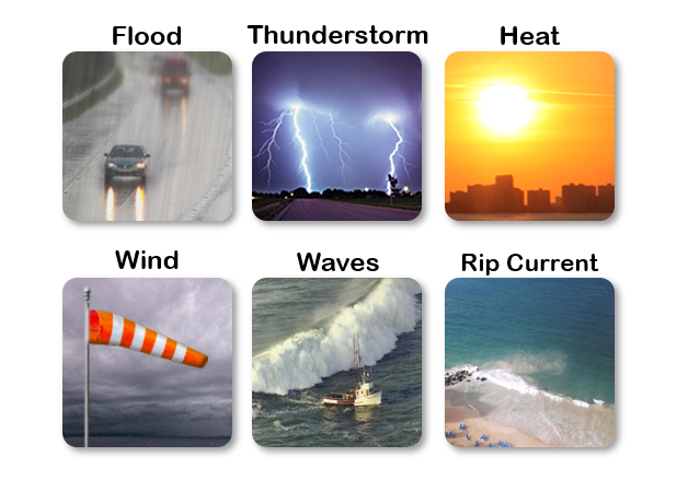
Due to expected thunderstorms and heavy rainfall over already saturated soils, there is a significant risk of flooding and landslides across the islands from today through Thursday. Please stay vigilant, take necessary precautions, and follow our latest updates on our webpage and social media.
Debido a las tormentas eléctricas y las fuertes lluvias previstas sobre suelos ya saturados, existe un riesgo significativo de inundaciones y deslizamientos de tierra en las islas desde hoy hasta el jueves. Por favor, manténgase alerta, tome las precauciones necesarias y siga nuestras últimas actualizaciones en nuestra página principal y redes sociales.
There is a moderate risk of rip currents, beachgoers must exercise caution.
Existe un riesgo moderado de corrientes marinas, bañistas deben ejercer precaución.
TJUA Radar - Cayey, P.R.