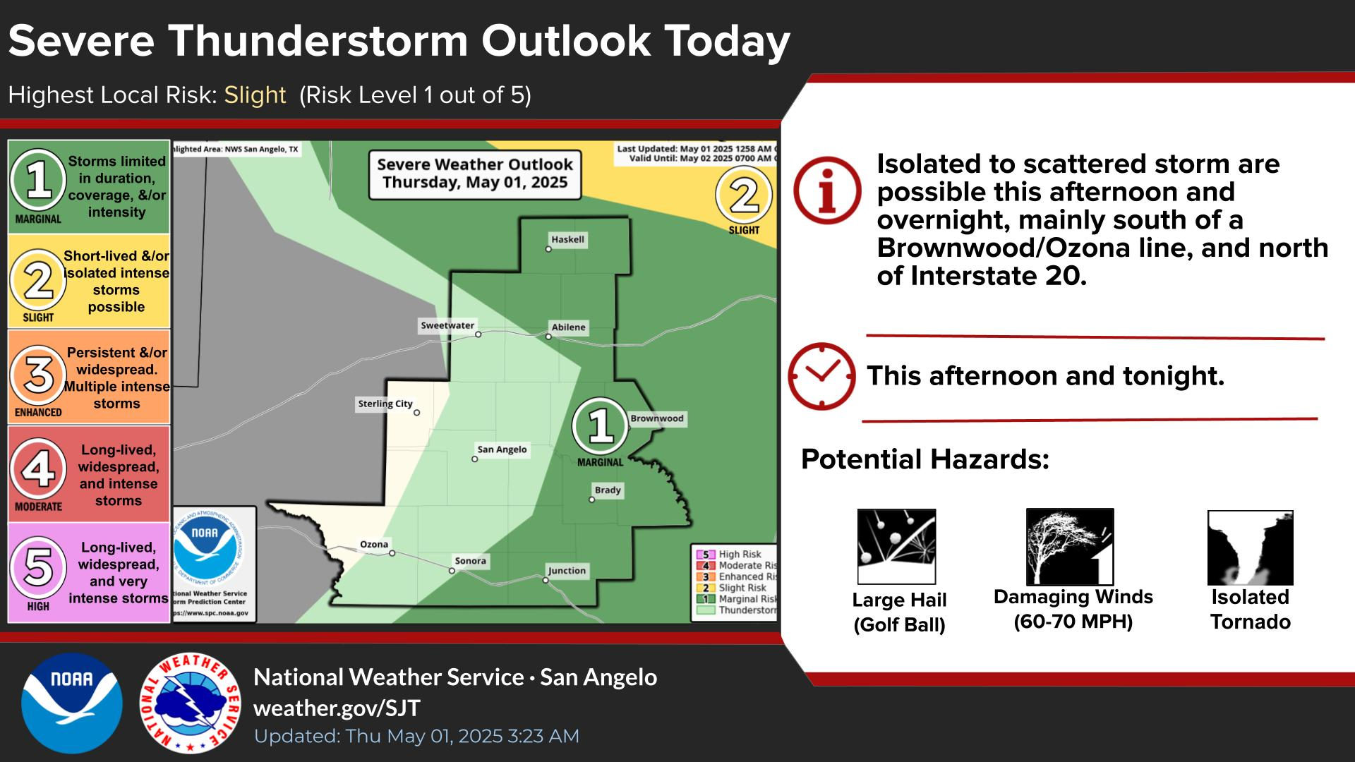
A weather system will bring scattered showers and storms to West Central Texas Friday night. Some of these storms may become strong to severe. The main threats are large hail and damaging winds.
There is the potential for severe thunderstorms, mainly Saturday afternoon and Saturday night. Large hail and damaging winds are the main threats. Locally heavy rainfall possible is also possible Saturday night as a cold
front move through.
Multiple rounds of showers and storms are expected Saturday and Saturday night. Locally heavy rainfall could lead to flash flooding especially Saturday night.
Cooler on Easter behind a cold front. 7 AM Temperatures will be be in the mid 40s to lower 50s, with a northwest wind around 10 mph. The ground may be wet due to earlier rainfall. Skies for the most part will be clearing, but a few clouds and an isolated morning showers will be possible along/east of a Haskell to Abilene to Junction line.


 Virtual Tour
 Current Observations
 Weather Briefing
 Satellite Loops
 Past Weather Reports
 Past Rainfall Maps
 Drought Information
 River & Lake Levels
 Fire Weather
 Aviation Weather
 Additional Resources
 Social Media