Scattered strong to severe thunderstorms may pose a risk for damaging wind gusts over the Carolinas, southeast Virginia, and the Tennessee Valley Sunday afternoon then the northern Plains from late afternoon into Sunday night. Monsoonal thunderstorms may cause locally considerable flash, urban, and small stream flooding in the Southwest U.S. the next few days. Read More >
| Overview | ||||||||||||||||||||||||||||
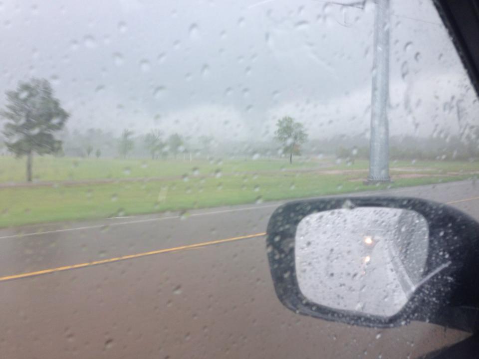
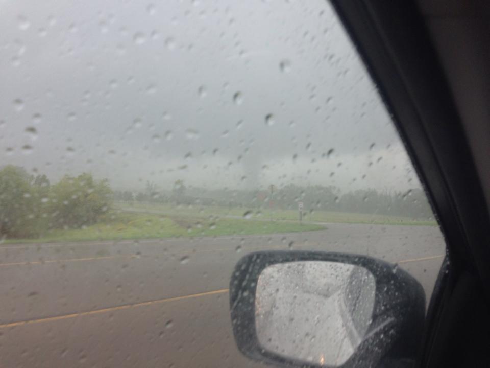
| Thunderstorms developed over Northeast Texas during the afternoon of April 13, 2014. Damage was reported near Pittsburg, TX. A survey team from the National Weather Service office in Shreveport investigated the damage and viewed video taken by a bank security camera. The team determined that an EF0 tornado occurred just north of Pittsburg. Estimated peak wind speeds were around 70-75 mph. | ||||||||||||||||||||||||||||
|
TOTAL TORNADO COUNT = 1
|
||||||||||||||||||||||||||||
|
Tornado Table
Photos
Damage Map
Coming Soon! |
||||||||||||||||||||||||||||
| Back to Top | ||||||||||||||||||||||||||||