Wildfire smoke continues to impact air quality from the Great Lakes region into New England and the Mid-Atlantic today with widespread Air Quality Alerts in effect. Severe thunderstorms are expected across portions of the Ohio Valley and Lower Great Lakes into the Mid-Atlantic and Northeast, this afternoon into the evening. Monsoonal thunderstorms may bring areas of flooding to the Southwest. Read More >
| Overview | ||||||||||||||||||||||||||||||||||||||||||||||||
|
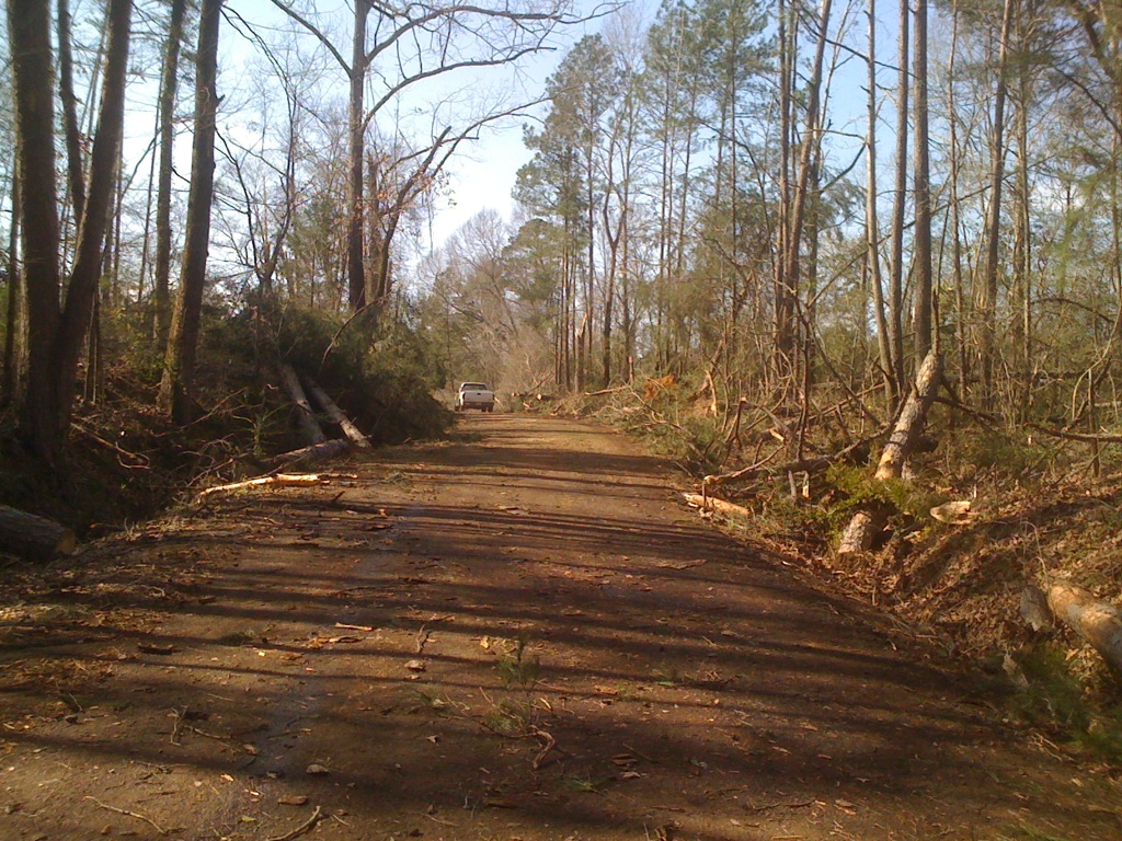
An active week of severe weather continued to affect portions of the Four State Region on February 21, 2013. While still cleaning up from a tornado outbreak on February 18, another strong, late-winter storm system moved across the region spawning severe thunderstorms and tornadoes. Several instances of straight-line wind damage were recorded in Cherokee County northwest of Wells, TX. Based on the damage northwest of Wells, wind speeds were estimated to be near 100 mph. Meteorologists from the National Weather Service in Shreveport conducted damage surveys in the days following the storms. The report below is presented in chronological order of when the tornadoes occurred. More information may be added to this page in the coming days as it becomes available. |
||||||||||||||||||||||||||||||||||||||||||||||||
|
TOTAL TORNADO COUNT = 2
|
||||||||||||||||||||||||||||||||||||||||||||||||
|
Tornado Table
Photos
Damage Map
Coming Soon |
||||||||||||||||||||||||||||||||||||||||||||||||