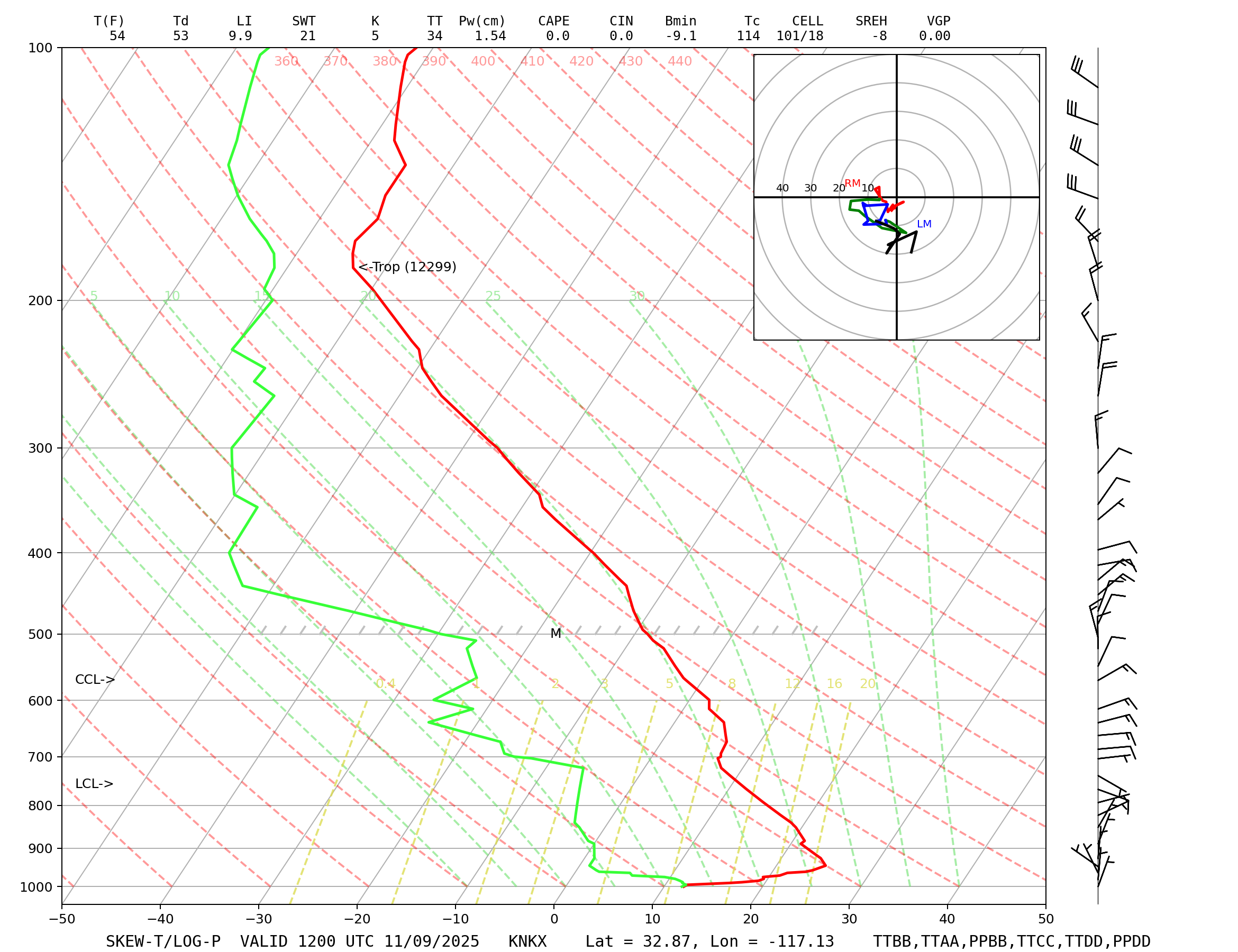
Gusty south and west winds this weekend, especially Friday evening through Saturday morning. During this time, gusts 25-45 mph over the mountains and deserts, and gusts 45-55 mph through the passes. Over the waters, expect gusts up to 25 knots. Winds decrease late Saturday through early Monday, then increase again late Monday into Tuesday to likely similar levels.
These winds, in combination with a large northwest swell, will bring choppy, steep seas to the region for much of the weekend into parts of next week.






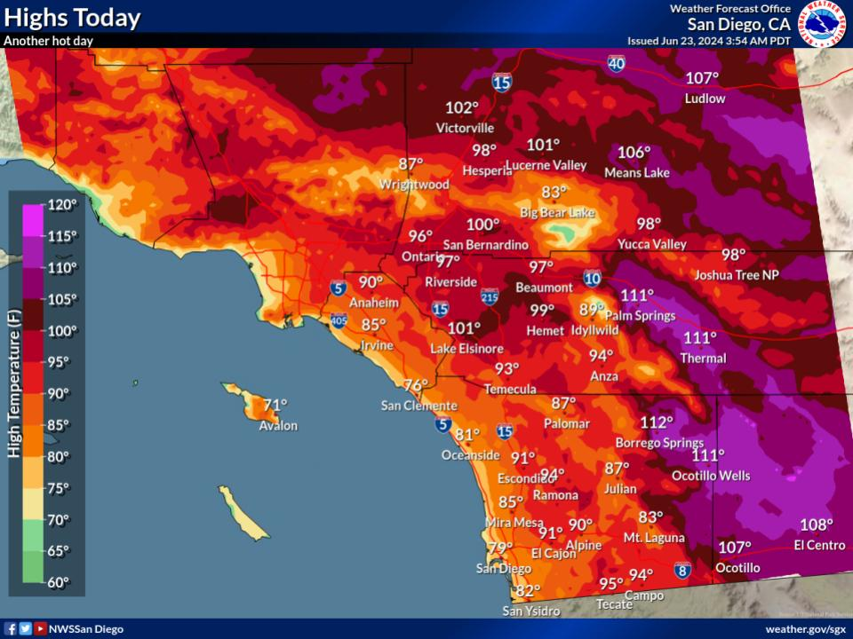
 Social Media
 San Diego Radar
 Santa Ana Radar
 Satellite
 Graphical Forecasts
 Forecast Weather Tables
 Current Weather
 Rivers & Lakes
 Drought
 Weather Maps
 Hour by Hour Forecast
 Fire Weather
 Aviation Forecasts
 Marine Forecasts
 Air Quality
 Forecaster's Discussion
 Text Products
 Weather Stats
 Follow us on X
 Follow us on Facebook
 Follow us on YouTube
 SGX RSS Feed