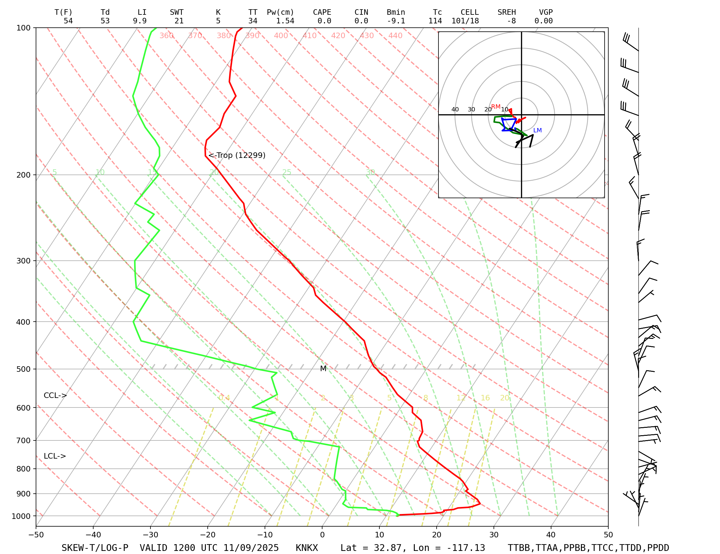
As the front moves through the area, scattered light showers are possible as we head into this evening. Higher chances in Southeast SD County and the mountains into early Friday.
As the cold front moves through the region today, total snowfall amounts for elevations below 7000 feet of a trace up to 1" possible. Higher totals can be expected on upper slopes and peaks of mountains.
As the front continues to push through the region, winds will peak this afternoon/evening in the 20-30 mph range along the Coasts, 15-20 mph for Inland areas and 30-40 mph possible in the Mountains. Winds will diminish overnight.
Cooler temperatures are expected on Friday with highs about 5 to 15 degrees below normal with the mid-60s along the coasts, low to mid 60s for the inland valleys, 30s and 40s for the mountains and only the 50s for the high desert.
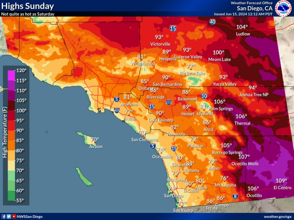
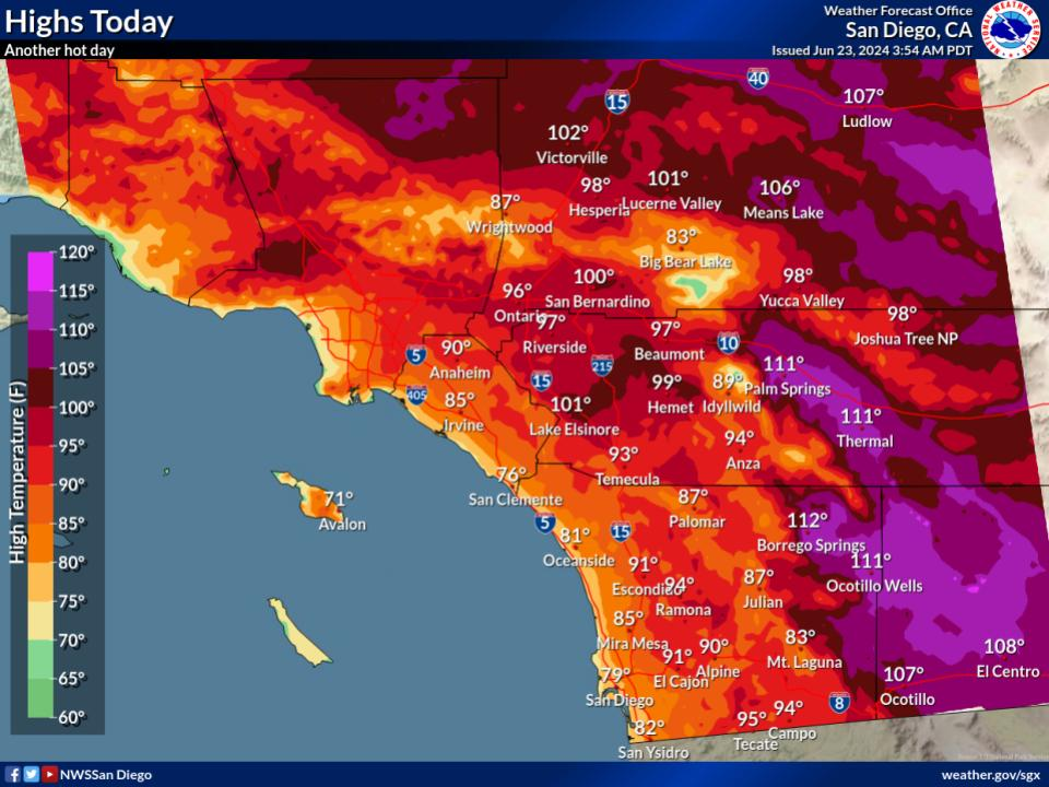

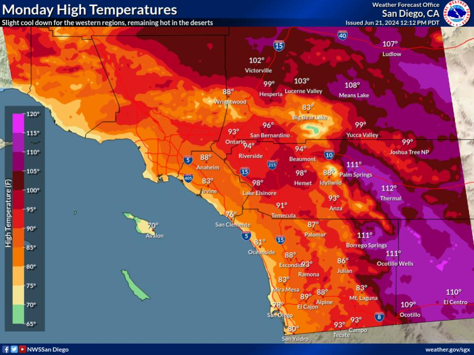





 Social Media
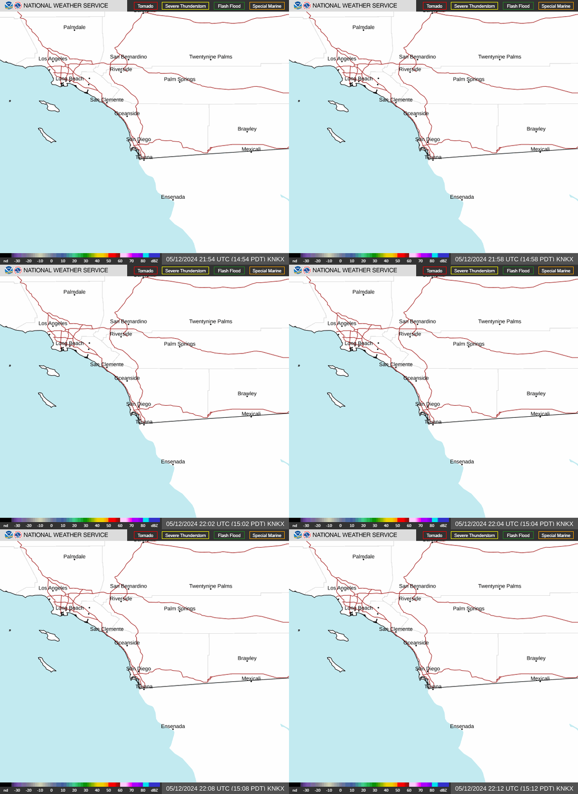 San Diego Radar
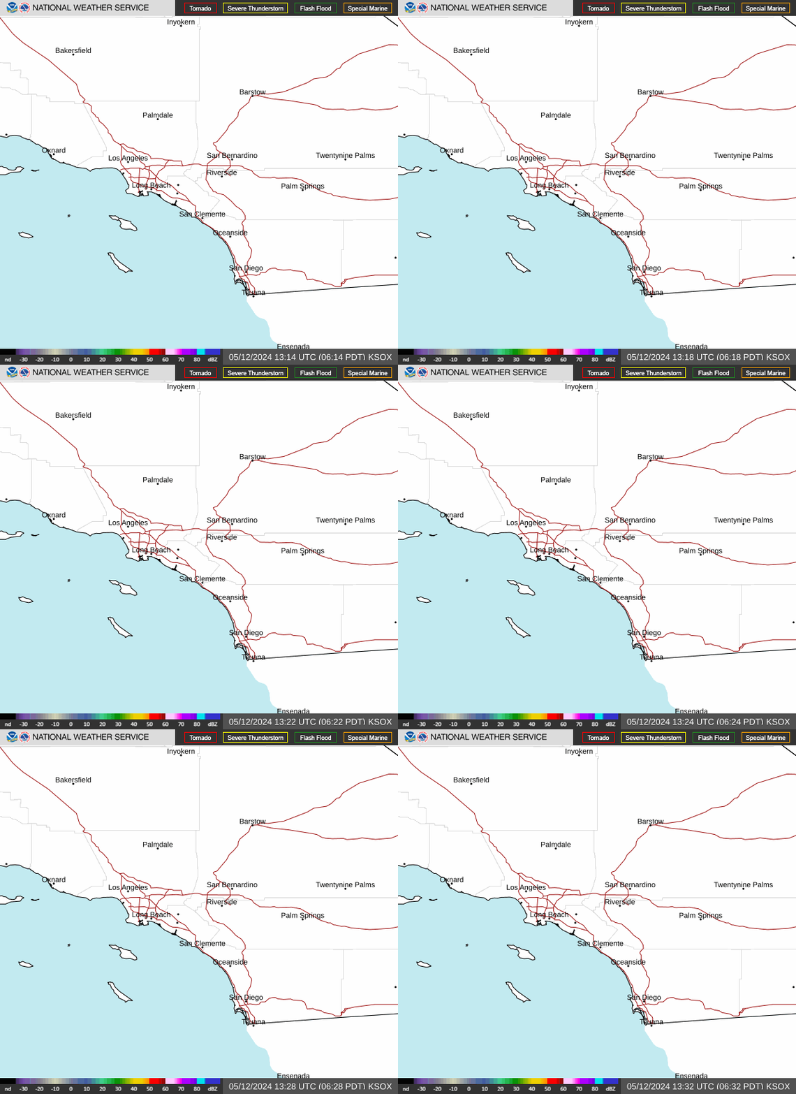 Santa Ana Radar
 Satellite
 Graphical Forecasts
 Forecast Weather Tables
 Current Weather
 Rivers & Lakes
 Drought
 Weather Maps
 Hour by Hour Forecast
 Fire Weather
 Aviation Forecasts
 Marine Forecasts
 Air Quality
 Forecaster's Discussion
 Text Products
 Weather Stats
 Follow us on X
 Follow us on Facebook
 Follow us on YouTube
 SGX RSS Feed