
These storm systems will bring late season snow, sleet and ice for portions of the northern Plains, upper Midwest and Great Lakes region. Meanwhile, where temperatures are warmer, severe thunderstorms are expected for areas of the Mississippi Valley into the southern Plains. Furthermore, combination of windy and dry conditions will raise fire weather concerns for the southern High Plains. Read More >
| Local | Mesowest | Fire RAWS | Marine | Tides |
| Mesonet Observations (choose desired scale) | ||
 |
||
| What is the "MesoNet"? MesoNet is a nearly full collection of observations from many sources, put together in one easy map. From the map, access the last 48 hours of data for a site. |
||
| Regional Airport Observations (For coded METAR observations, click here.) |
|
| Hourly Roundups: |  |
| Local Marine Obs | Other Observations | Upper Air Data |
|
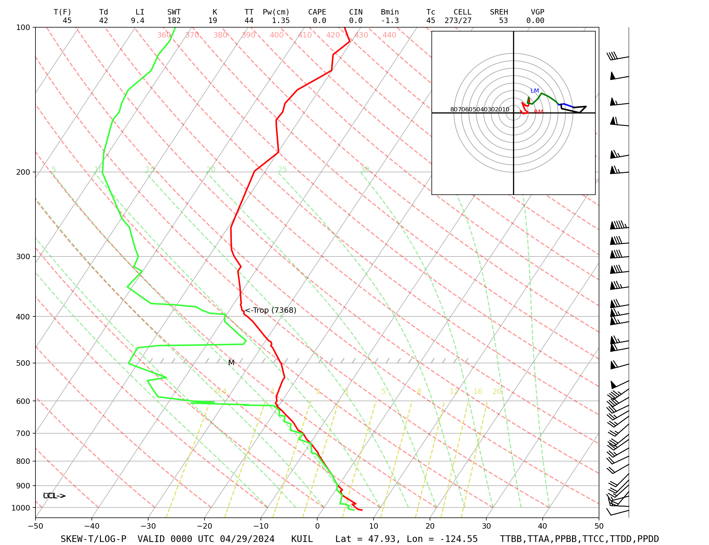
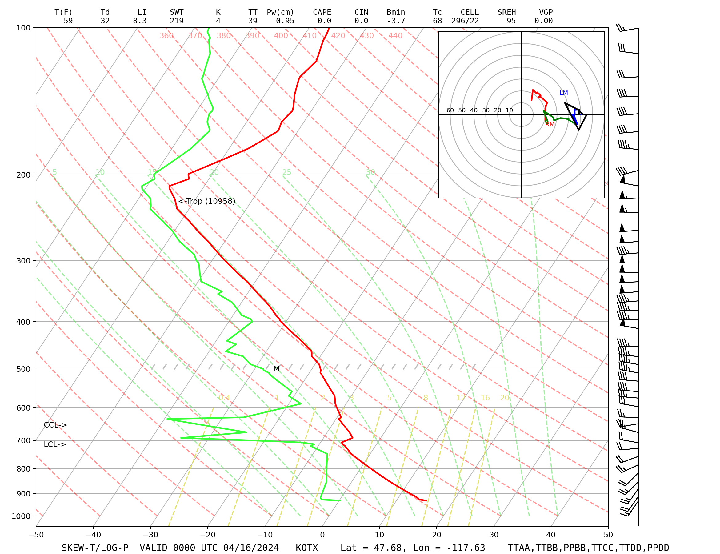
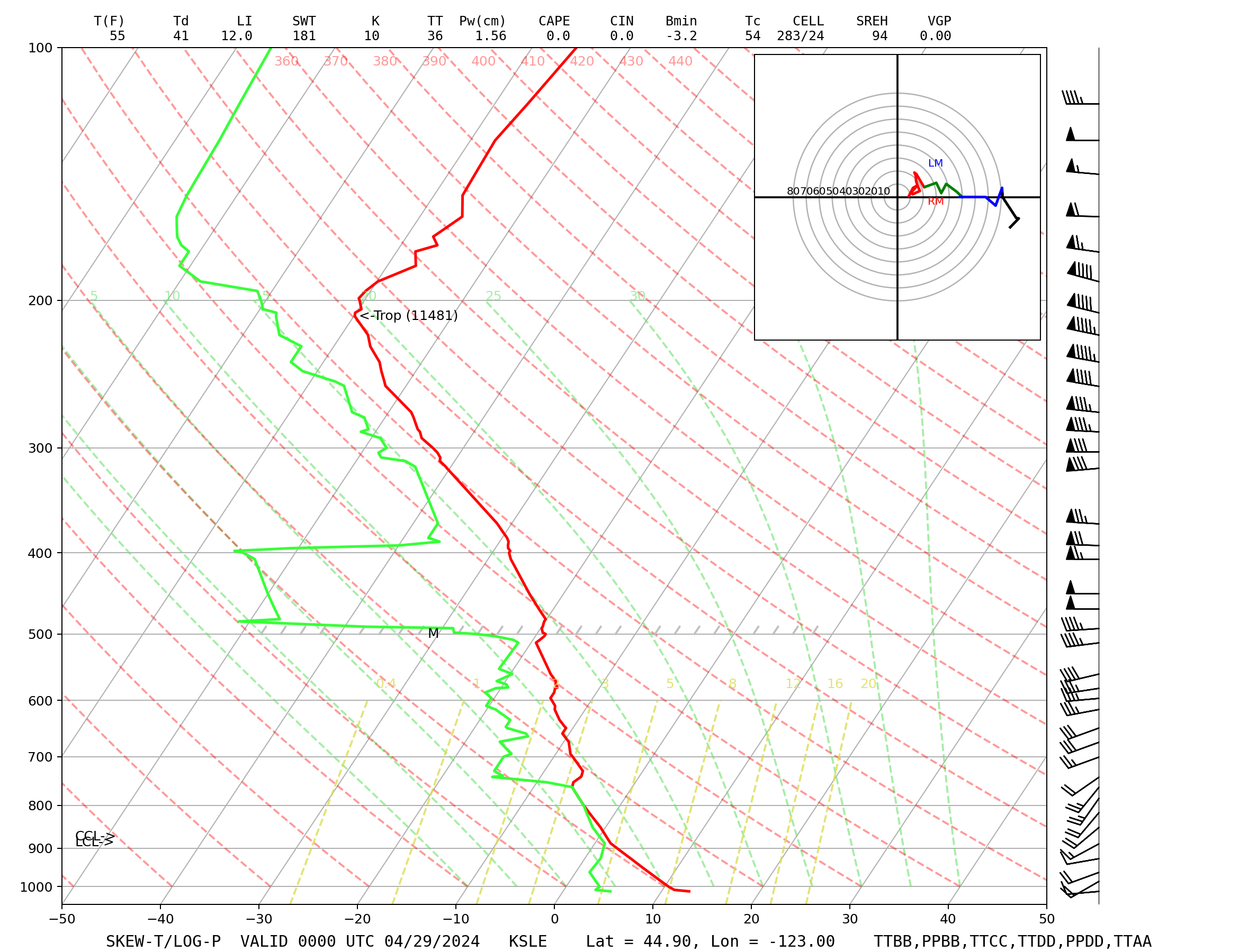
Skew-T Sounding Displays Coded Freezing Levels Mandatory Level Data Significant Level Data |

