Overview
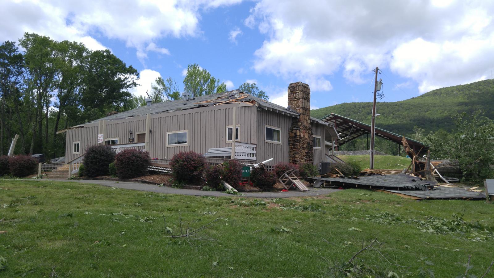
As a warm front lifted north through North Carolina in the afternoon of Wednesday May 24, 2017, isolated storms formed just to the south of it and quickly developed rotation in an environment with strong wind shear. One particular supercell storm tracked north-northeastward through Iredell and Davie Counties, before crossing into Yadkin and Stokes Counties, and eventually into Virginia. This storm produced two fairly long track tornadoes in the NWS Blacksburg County Warning Area. The first one was on the ground for over 4 miles in Yadkin County (after first crossing out of Davie County), and produced EF2-rated damage including to an elementary school gymnasium in the town of Courtney. This same storm then produced another tornado in Stokes County, touching down right on the border with Forsyth County, and lasting for over 15 miles producing some EF2 damage as well near and through the YMCA Camp Hanes, before cross over a portion of Sauratown Mtn and then continuing for a few more miles with mainly tree damage before dissipating near the Dan River. Damage was mainly to trees, including large hardwoods that were snapped or uprooted, but in some locations homes and cabins had fairly significant roof damage, while several mobile homes suffered more significant damage and several outbuildings were completely destroyed. No injuries were reported, but several families had to find temporary shelter as their homes were damaged too severely to remain in.
Tornadoes:
|
Tornado - Courtney, NC
Track Map  
|
||||||||||||||||
|
||||||||||||||||
|
Tornado - Sauratown Mountain, NC
Track Map  |
||||||||||||||||
|
||||||||||||||||
The Enhanced Fujita (EF) Scale classifies tornadoes into the following categories:
| EF0 Weak 65-85 mph |
EF1 Moderate 86-110 mph |
EF2 Significant 111-135 mph |
EF3 Severe 136-165 mph |
EF4 Extreme 166-200 mph |
EF5 Catastrophic 200+ mph |
 |
|||||
 |
Media use of NWS Web News Stories is encouraged! Please acknowledge the NWS as the source of any news information accessed from this site. |
|


