Overview
Upper level low tracked across the Tennessee Valley and pushed a complex frontal system through the region during the morning of May 5th. Despite weak instability, and very little lightning, shear and helicity values were high. Small segmented lines tracking east were producing winds gusts between 30-40 mph. The combination of wind gusts and saturated ground lead to several tree being uprooted. One discrete cell produce an EF1 tornado in Eden NC. This cell merged with a convective line north of Smith Mountain Lake and produced an EF0 Tornado near the Moneta area of Smith Mountain Lake.
Tornadoes:
|
Tornado - Eden, NC
Track Map 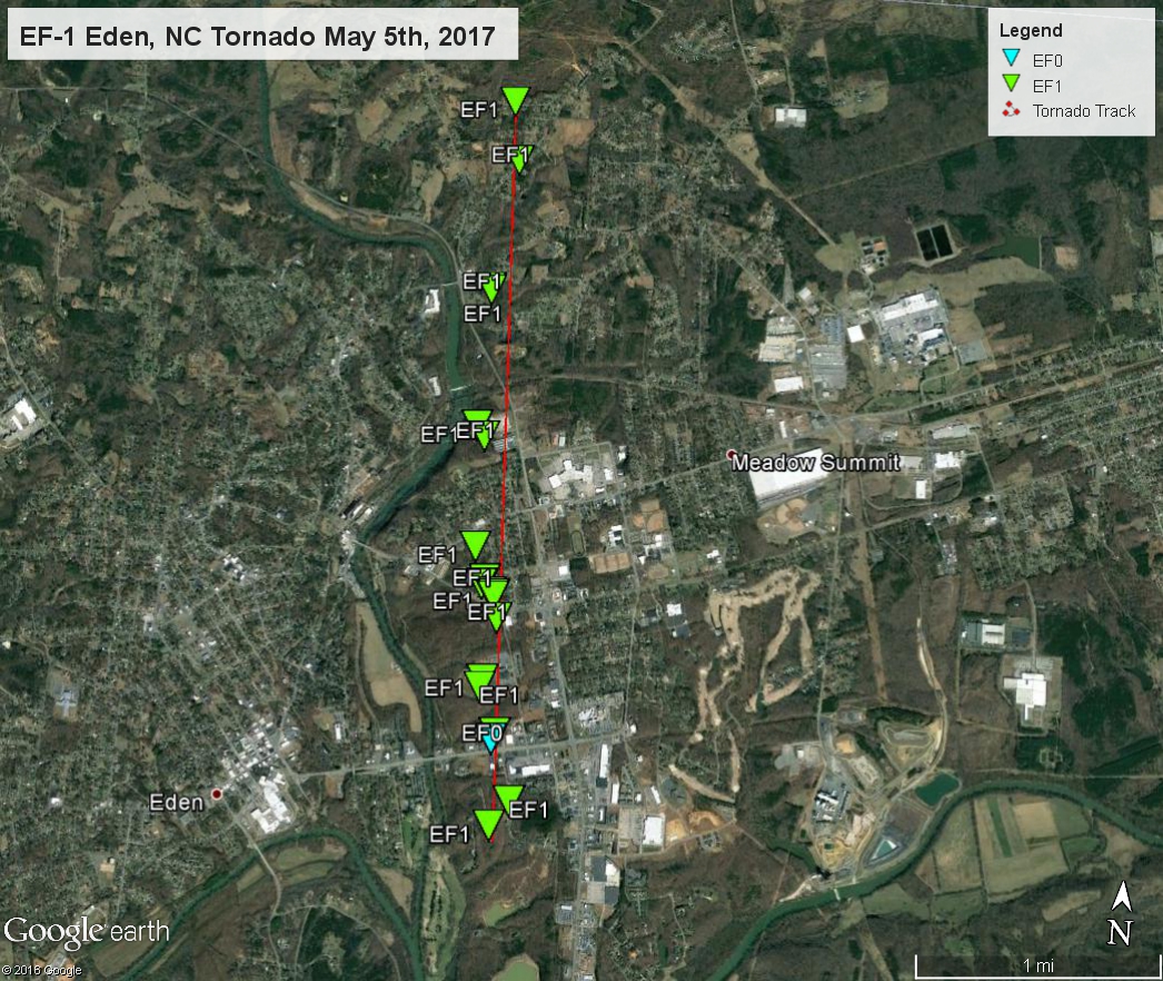 
|
||||||||||||||||
|
Tornado - Moneta, VA
Track Map 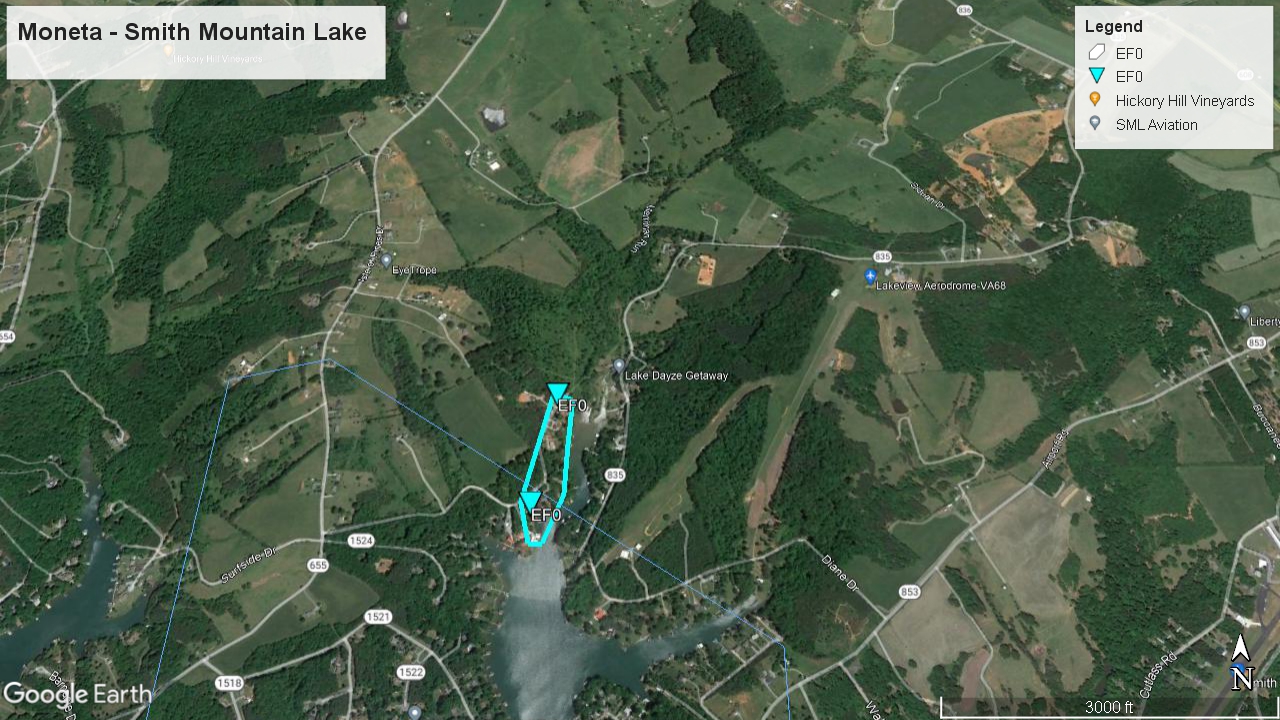 
|
||||||||||||||||
The Enhanced Fujita (EF) Scale classifies tornadoes into the following categories:
| EF0 Weak 65-85 mph |
EF1 Moderate 86-110 mph |
EF2 Significant 111-135 mph |
EF3 Severe 136-165 mph |
EF4 Extreme 166-200 mph |
EF5 Catastrophic 200+ mph |
 |
|||||
Photos
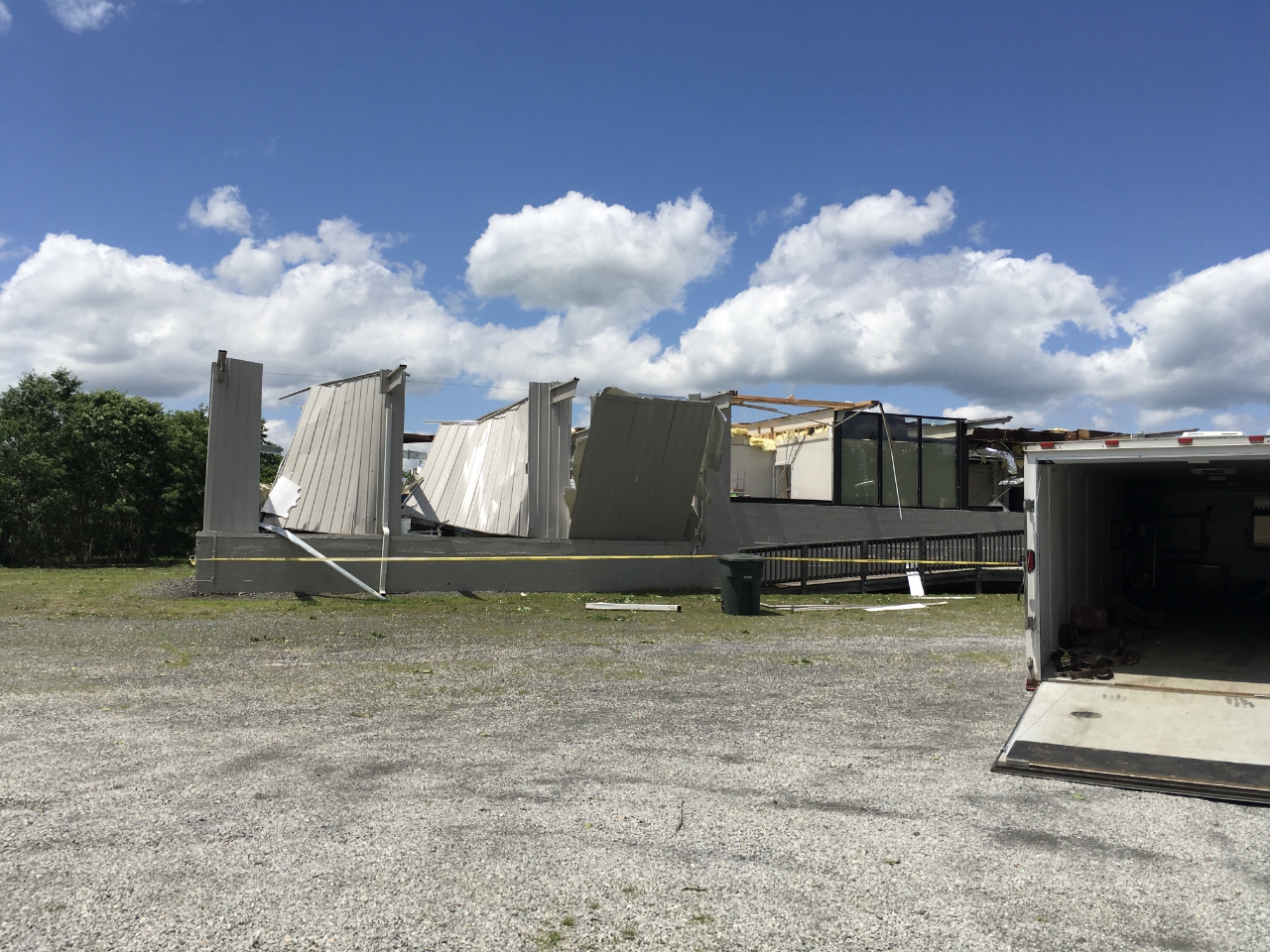
Eden, NC Damage
 |
 |
 |
 |
| Damage at YMCA (NWS Survey) |
Damage at W Stadium Drive (NWS Survey) |
Tire Store Damage in Eden (NWS Survey) |
Home damaged at North Kennedy Avenue in Eden (NWS Survey) |