National Weather Service United States Department of Commerce

Snow Across the Great Lakes, Central Appalachians, and Northeast; Unsettled Weather in the West

Light to moderate snow will continue into Saturday over the Great Lakes, Central Appalachians, and Northeast. This weekend into next week, a series of atmospheric rivers will bring gusty winds, periods of heavy rain, and mountain snow to northern California and the Pacific Northwest. Colder temperatures are in store for the weekend from the Great Lakes to East Coast. Read More >

Summary | Forecast | Observed Snow and Wind | Travel Center | Monitoring & Reporting | Safety


SYNOPSIS: A strong spring storm is currently impacting the state with widespread rain and higher elevation snow. The storm will continue through Saturday before tapering off early Sunday morning.  The mountains of western Wyoming should see snowfall accumulations from a few inches to over a foot, including a couple of inches in Yellowstone National Park.  Many lower elevation locations have already received between 0.50" and 1.5" of rainfall, with more expected. The heaviest rain occurred in the Lander/Sinks Canyon area, with 1.75" to 2.4".   The precipitation will continue to fall through 6AM Sunday, with the heaviest precipitation ending earlier Saturday morning.

IMPACTS: Mountain passes, such as Togwotee and South Pass, have received several inches of snow and may be slippery to travelers at times.  Early season hikers and campers in the Wind Rivers, Absarokas, and Bighorns will encounter wet and cold conditions and should be prepared.  Heavy precipitation combined with ongoing snow melt from the mountains will elevate stream and river flows, as well as potentially cause lowland flooding.

Top Menu


 Summary | Forecast | Observed Snow and WindTravel Center | Monitoring & Reporting | Safety
 

NWS Text Products and Forecasts

  Area Forecast Discussion
  Winter Weather Statement
  Special Weather Statement
  What's a "Watch?"
  Observed Snow Totals or High Wind
 High Wind Statement
 Weather Story

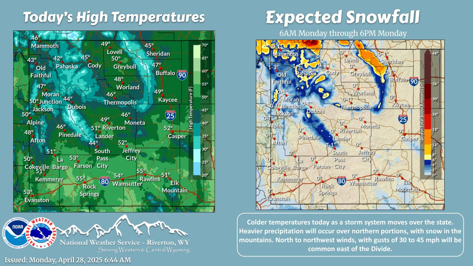
Quick View of Hazards, Forecast Snow and Precipitation Totals
Click to enlarge Click to enlarge

Click Image To Enlarge

Click Image To Enlarge

 
Today's Total Expected Snowfall Today's Total Expected Precipitation
Click to enlarge Click to enlarge

Click Image To Enlarge

Click Image To Enlarge

 
Tomorrow's Total Expected Snowfall Tomorrow's Total Expected Precipitation
Click to enlarge Click to enlarge

Click Image To Enlarge

Click Image To Enlarge

 
Day 3 Total Expected Snowfall Day 3 Total Expected Precipitation
Click to enlarge Click to enlarge

Click Image To Enlarge

Click Image To Enlarge

 
3 Day Total Expected Snowfall 3 Day Total Expected Precipitation
Click to enlarge Click to enlarge

Click Image To Enlarge

Click Image To Enlarge

 Top Menu


Snow Totals and Wind Reports will be posted and updated here once the storm occurs
(Please double check date and time of product)

                        
710
NOUS45 KRIW 191858
PNSRIW
WYZ001>020-022>030-200651-

Public Information Statement
National Weather Service Riverton WY
1151 AM MST Thu Dec 19 2024

...SUMMARY...

A strong jet streak pushed down into Wyoming on Wednesday, with the
right exit region situated over the area for several hours from
Wednesday morning into Wednesday evening. This allowed for the
strong jet streak wind to mix down to the surface for several
locations. High Wind Warnings were issued and verified in the Cody
Foothills, Absaroka Mountains, and Natrona County. Some local
terrain effects resulted in high wind at Buffalo Wednesday evening
as the jet streak slid east. There were reports of loose objects
getting blown around and some objects being blown over, but there
was no major structural damage or downed trees reported.

...HIGHEST WIND REPORTS...

Location                     Speed     Time/Date       Elevation (ft.)

...Wyoming...

...Fremont County...
Red Canyon - South Pass      81 MPH    1258 PM 12/18   6581
Lava Mountain (BTAVAL)       72 MPH    0845 PM 12/18   10359
Muddy Gap 7 SW               70 MPH    0750 PM 12/18   7379
Fort Washakie 10 W           68 MPH    0801 PM 12/18   9234
Skyline                      57 MPH    0640 PM 12/18   8500
Lander 7 NW                  55 MPH    0525 PM 12/18   5797
Elkhorn                      54 MPH    1257 PM 12/18   8084
Badwater Road                53 MPH    0630 PM 12/18   6270
Crowheart                    52 MPH    1145 PM 12/18   6137
Riverton Airport             52 MPH    0111 AM 12/19   5509

...Hot Springs County...
Boysen Peak                  61 MPH    0535 PM 12/18   7099

...Johnson County...
Buffalo Airport              64 MPH    0715 PM 12/18   4905
Story 5.5 SE (WYDOT)         61 MPH    0626 PM 12/18   4632
Buffalo 18 NW                60 MPH    0747 PM 12/18   8604
Tisdale Mountain             55 MPH    0250 PM 12/18   5557
Purdy East                   54 MPH    1100 PM 12/18   4687
Barnum 7 SW                  53 MPH    0446 PM 12/18   6439
I25 Us87 - Tisdale Divide    51 MPH    0306 PM 12/18   4990
BUFFALO                      50 MPH    0700 PM 12/18   4675

...Lincoln County...
Mount Coffin (BTAVAL)        93 MPH    0615 PM 12/18   10855

...Natrona County...
Claude Creek                 73 MPH    0420 PM 12/18   6282
Hiland 16 S                  68 MPH    0310 PM 12/18   6379
Casper 2.1 SW (WYDOT)        66 MPH    0202 PM 12/18   5462
I25 - Hat Six                65 MPH    0512 PM 12/18   5157
Coates Rd                    64 MPH    0100 PM 12/18   5866
Muddy Creek                  60 MPH    0600 PM 12/18   5571
Bar Nunn 13.6 N (WYDOT)      57 MPH    0202 PM 12/18   5656
Mills 2 NE (WYDOT)           53 MPH    0406 PM 12/18   5312
EVANSVILLE                   51 MPH    0431 PM 12/18   5187
Casper Airport               51 MPH    0611 PM 12/18   5327
Hiland 2.4 SE (WYDOT)        51 MPH    1206 AM 12/19   6115

...Park County...
Sunlight Basin 8 E (WYDOT)   85 MPH    0902 PM 12/18   8083
Dead Indian Ridge            71 MPH    0850 PM 12/18   8145
Irma Lake                    70 MPH    0740 PM 12/18   6222
Pahaska 3 E                  64 MPH    0657 PM 12/18   7500
Wood River East              62 MPH    0310 PM 12/18   7070
Cedar Mountain               58 MPH    1200 PM 12/18   7542
Shoshone Southfork           58 MPH    0100 PM 12/18   5896
Clark                        57 MPH    0145 PM 12/18   4270
Cody 10 WNW                  54 MPH    0240 PM 12/18   8400
Wapiti                       54 MPH    1205 AM 12/19   5993
Crandall                     53 MPH    0512 PM 12/18   6640

...Sublette County...
Hogsback                     54 MPH    0610 PM 12/18   9008
Cottonwood Merna             50 MPH    0700 PM 12/18   7830

...Teton County...
Jackson Hole - Summit (BTAVA 65 MPH    0500 PM 12/18   10328
Surprise Pinnacle (BTAVAL)   65 MPH    0530 PM 12/18   9770

Observations are collected from a variety of sources with varying
equipment and exposures. We thank all volunteer weather observers
for their dedication. Not all data listed are considered official.

$$


 Top Menu


Summary | Forecast | Observed Snow and WindTravel Center | Monitoring & Reporting | Safety

Current Radar & Web Cams - Click Thumbnails To Enlarge
Northern Rockies Radar
Riverton Radar
Pocatello
Billings
Salt Lake
Cheyenne


            Road Conditions and Web Cameras
Teton Pass - Hwy 22
Alpine Junction - U.S. Hwy 26/89/191
Jackson
Togwotee Mountain Lodge
Togwotee Pass - U.S. Hwy 26
Dubois
Granite Pass - U.S. Hwy 14
Powder River Pass - U.S. Hwy 16
South Pass - Hwy 28
Cody
Buffalo - I-25/I-90 Interchange
Casper Mountain
Casper
Beaver Rim - U.S. Hwy 287
I-80 - Rock Springs
I-80  - Laramie


                                                                       Click Here to See All Webcams                                                  

If you plan to travel, we recommend checking road conditions along your route and staying on top of road closures here. If you are on Twitter, follow the hashtag: #WyoRoad (or look below) for the latest weather affecting roads and road conditions in and around Wyoming. 


Get the play-by-play on this storm and contribute your own snow reports to #wywx

Follow Us on Twitter @NWSRiverton

On the road?

Tweet road conditions to #WyoRoad!


 Summary | Forecast | Observed Snow and WindTravel Center | Monitoring & Reporting | Safety

PLEASE SEND US YOUR SNOW REPORTS (CLICK HERE)

Monitor our Weather Summary Page for current Warnings, Watches, and Advisories. What's the difference?
Current            Weather Story Check the latest Weather Story graphic for an overview of the area forecast.
NWS Riverton Radar Check out what's on the radar.
Riverton | Pocatello | Cheyenne | Billings | Salt Lake City | Rapid City | Mosaic
Submit storm reports/images and keep up to date with us on Facebook!
Submit storm reports/images and keep up to date with us on Twitter!
Other reporting methods include email (nws.riverton@noaa.gov), or by phone at 1-800-211-1448.
Check the latest Public Information Statement for the latest storm reports.
WyDoT's Webpage Monitor current road conditions by visiting the Wyoming Dept. of Transportation (WYDOT) or by calling 5-1-1.
Get current road conditions, web camera images, road alerts, and much more on your mobile device by downloading the Wyoming 511 Mobile App.


Top Menu

 Summary | Forecast | Observed Snow and WindTravel Center | Monitoring & Reporting | Safety
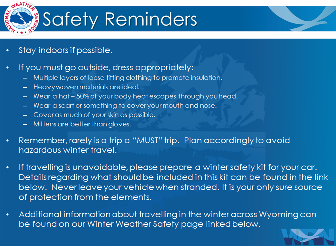
 

Winter Safety Kit      |      Winter Weather Safety


Learn more about the National Weather Service's efforts to build a Weather-Ready Nation!


 Top Menu