
Helene is expected to bring life-threatening and catastrophic storm surge and damaging hurricane-force winds to Florida and inland across the Southeast. Catastrophic and life-threatening flash/urban flooding, including landslides, is expected across the southern Appalachians. Considerable to locally catastrophic flash flooding is likely for northwestern and northern Florida and the Southeast. Read More >
Summary | Forecast | Travel Center | Monitoring & Reporting | Safety
SYNOPSIS: A winter storm will continue to impact much of western and central Wyoming through this evening with periods of breezy winds and snow. Snowfall has been weakening throughout the afternoon, and will continue to diminish through the evening hours, before ending late tonight. Western mountains will likely see snowfall into Wednesday. Please see the latest winter weather statement for more details. This storm system is expected to finally exit the area later today as colder temperatures settle in. Lows are expected to dip into the single to double digit negatives again, for some locations beginning tonight/Wednesday morning.
IMPACTS:
Roads remaining or becoming slick and snow packed over much of western & central Wyoming.
Backcountry avalanche danger could increase. Please see Bridger-Teton Avalanche Center for more details.
Visibility under a mile at times in snow could result in aviation delays across western and central Wyoming.
|
|
|
|
|
|
|
|
|
||
 |
 |
|
Click Image To Enlarge |
Click Image To Enlarge |
Observed Snowfall Amounts
|
812 NOUS45 KRIW 190145 PNSRIW WYZ001>020-022>030-191345- Public Information Statement National Weather Service Riverton WY 745 PM MDT Wed Sep 18 2024 ...HIGHEST WIND REPORTS... Location Speed Time/Date Elevation (ft.) ...Wyoming... ...Fremont County... Muddy Gap 7 SW 78 MPH 0650 AM 09/18 7379 ...Johnson County... Buffalo 18 NW 70 MPH 0447 PM 09/18 8604 Kaycee 12 N (WYDOT) 56 MPH 0316 PM 09/18 5240 ...Natrona County... Hiland 16 S 83 MPH 0910 AM 09/18 6379 Casper Mountain Rd 82 MPH 0900 AM 09/18 6302 Scenic Dr 82 MPH 1120 AM 09/18 5827 Casper 2.1 SW (WYDOT) 70 MPH 1156 AM 09/18 5462 I25 - Hat Six 70 MPH 1226 PM 09/18 5157 Muddy Creek 69 MPH 0450 AM 09/18 5571 Claude Creek 68 MPH 0430 AM 09/18 6282 Bar Nunn 13.6 N (WYDOT) 61 MPH 1102 AM 09/18 5656 Casper Airport 60 MPH 0848 AM 09/18 5327 Mills 2 NE (WYDOT) 60 MPH 1242 PM 09/18 5312 Alcova 7 W (WYDOT) 60 MPH 0256 PM 09/18 6345 Coates Rd 57 MPH 1130 AM 09/18 5866 Stag Run 56 MPH 0110 PM 09/18 8095 Whitcomb Road 55 MPH 1230 PM 09/18 7987 ...Park County... Cody 60 MPH 0405 PM 09/18 5120 Irma Lake 59 MPH 0140 PM 09/18 6222 Sunlight Basin 8 E (WYDOT) 57 MPH 1042 AM 09/18 8083 Cedar Mountain 56 MPH 1130 AM 09/18 7542 Observations are collected from a variety of sources with varying equipment and exposures. We thank all volunteer weather observers for their dedication. Not all data listed are considered official. $$ |
Snow and Wind Forecasts
 |
 |
|
12 Hour Snow Accumulation Forecast |
12 Hour Peak Wind Gusts |
 |
 |
|
24 Hour Snow Accumulation Forecast |
12-24 Hour Peak Wind Gusts |
 |
 |
|
36 Hour Snow Accumulation Forecast |
24-36 Hour Peak Wind Gusts |
 |
 |
|
Today's High Temperature |
Tonight's Low Temperature |
 |
 |
|
Tomorrow's High Temperature |
Tomorrow Night's Low Temperature |
 |
 |
|
Day 3 High Temperature |
Day 3 Low Temperature |
Summary | Forecast | Travel Center | Monitoring & Reporting | Safety
|
|
|
|
|
|
|
|
 |
 |
 |
 |
|
|
|
|
|
 |
 |
 |
 |
|
|
|
|
|
 |
 |
 |
 |
If you plan to travel, we recommend checking road conditions along your route and staying on top of road closures here. If you are on Twitter, follow the hashtag: #WyoRoad (or look below) for the latest weather affecting roads and road conditions in and around Wyoming.
 |
| Tweets by @NWSRiverton | #WyoRoad Tweets |
|
Get the play-by-play on this storm and contribute your own snow reports to #wywx |
On the road? Tweet road conditions to #WyoRoad!
|

Summary | Forecast | Travel Center | Monitoring & Reporting | Safety
PLEASE SEND US YOUR SNOW REPORTS (CLICK HERE)
 |
Monitor our Weather Summary Page for current Warnings, Watches, and Advisories. What's the difference? |
 |
Check the latest Weather Story graphic for an overview of the area forecast. |
 |
Check out what's on the radar. Riverton | Pocatello | Cheyenne | Billings | Salt Lake City | Rapid City | Mosaic |
| Submit storm reports/images and keep up to date with us on Facebook! | |
 |
Submit storm reports/images and keep up to date with us on Twitter! |
 |
Other reporting methods include submitting an online report, email (nws.riverton@noaa.gov), or by phone at 1-800-211-1448. |
 |
Check the latest Public Information Statement for the latest storm reports. |
| Monitor current road conditions by visiting the Wyoming Dept. of Transportation (WYDOT) or by calling 5-1-1. | |
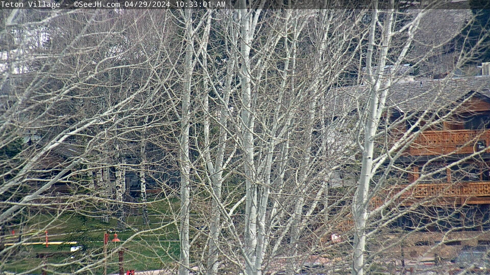
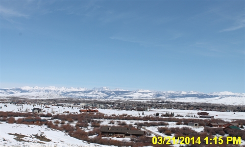
| Get current road conditions, web camera images, road alerts, and much more on your mobile device by downloading the Wyoming 511 Mobile App. |
Summary | Forecast | Travel Center | Monitoring & Reporting | Safety

Winter Safety Kit | Winter Weather Safety
 |
Learn more about the National Weather Service's efforts to build a Weather-Ready Nation! |


