
High winds and very dry conditions will bring extremely critical fire weather over a large part of New Mexico today. Red Flag and High Wind Warnings have been issued. Isolated to scattered severe thunderstorms may produce large to very large hail and localized damaging winds late this afternoon into evening from the eastern Central Plains to the Upper Midwest. Read More >
Summary | Forecast | Observed Snow and Wind | Travel Center | Monitoring & Reporting | Safety
A potent winter storm is impacting the region today. Winter Storm Warnings still in effect for Cody and Buffalo until 5 pm this evening. Winter Weather Advisories have also been issued for other areas of the state. Treacherous travel conditions with near zero visibility could occur along Interstate 80 Saturday morning when a heavy band of snow combined with strong wind is expected to track across the area (see radar simulation below). The snow has spread to areas east of the Divide. The heaviest snow is expected along Interstate 25 from Buffalo to Casper through Saturday afternoon. The snow tapers off or becomes very light across the west by early Saturday afternoon while the snow east of the Divide should exit the area late Saturday night. Windy conditions on Saturday could cause significant blowing and drifting of snow.
|
|
|
|
|
|
|
|
High Wind Statement |
|
Snow and Wind Forecasts for Saturday
Click Images To Enlarge
 |
.png) |
|
Forecast Additional Snowfall |
Saturday's Peak Wind Gusts |
|
Snow Totals and Wind Reports will be posted and updated here once the storm occurs |
|
460
NOUS45 KRIW 230248
PNSRIW
WYZ001>020-022>030-231436-

Public Information Statement
National Weather Service Riverton WY
836 PM MDT Sat Mar 22 2025

...WIND EVENT SUMMARY...

A compact weather system, with plenty of energy brought widespread
windy conditions to western and central Wyoming on Saturday March
22, 2025. A strong cold front pushed south through western and
central Wyoming during the day on Saturday, which caused wind to be
very strong from the west and southwest late Saturday morning
through Saturday afternoon. In addition to this, the sun allowed
temperatures to warm ahead of the cold front and create instability
for strong convective rain/snow bands. These convective snow bands
caused strong wind gusts at several locations. Most notably, at
Worland, Buffalo, and Tisdale Divide along I-25 between Casper and
Buffalo.

...HIGHEST WIND REPORTS...

Location                     Speed     Time/Date       Elevation (ft.)

...Wyoming...

...Fremont County...
Red Canyon - South Pass      72 MPH    0542 PM 03/22   6581
Muddy Gap 7 SW               70 MPH    0350 PM 03/22   7379
Fort Washakie 10 W           59 MPH    1001 AM 03/22   9234
Moss Rock                    57 MPH    0340 PM 03/22   5998
South Pass City 8 W          57 MPH    0350 PM 03/22   8120
Lander 7 NW                  55 MPH    0350 PM 03/22   5797
Riverton Airport             55 MPH    0522 PM 03/22   5509

...Johnson County...
Tisdale Mountain             71 MPH    0230 PM 03/22   5557
I25 Us87 - Tisdale Divide    62 MPH    0242 PM 03/22   4990
Buffalo Airport              58 MPH    1239 PM 03/22   4905
Ucross 28 SE (WYDOT)         57 MPH    0226 PM 03/22   4605
BUFFALO                      55 MPH    1245 PM 03/22   4675

...Lincoln County...
Mount Coffin (BTAVAL)        116 MPH   0245 PM 03/22   10855
Etna                         55 MPH    0445 PM 03/22   5692

...Natrona County...
Midwest                      63 MPH    0240 PM 03/22   4974
I25 Us87 - Smokey Gap        63 MPH    0246 PM 03/22   5161
Alcova 7 W (WYDOT)           63 MPH    0526 PM 03/22   6345
Hiland 16 S                  62 MPH    0410 AM 03/22   6379
Casper Airport               62 MPH    0255 PM 03/22   5327
I25 - Hat Six                62 MPH    0316 PM 03/22   5157
Hiland 2.4 SE (WYDOT)        58 MPH    0226 PM 03/22   6115
Bar Nunn 13.6 N (WYDOT)      58 MPH    0252 PM 03/22   5656
Claude Creek                 58 MPH    0310 PM 03/22   6282
Muddy Creek                  58 MPH    0320 PM 03/22   5571
Casper 2.1 SW (WYDOT)        57 MPH    0306 PM 03/22   5462

...Park County...
Sunlight Basin 8 E (WYDOT)   59 MPH    0526 AM 03/22   8083
Crandall                     57 MPH    0512 PM 03/22   6640

...Sublette County...
Cottonwood Merna             65 MPH    0220 PM 03/22   7830
Hogsback                     60 MPH    0440 PM 03/22   9008

...Sweetwater County...
Red Desert 9 W (WYDOT)       63 MPH    0442 PM 03/22   6958
Wamsutter 10.5 E (WYDOT)     63 MPH    0442 PM 03/22   7132
Rock Springs Airport         62 MPH    0232 PM 03/22   6745
Reliance 5.2 SE (WYDOT)      62 MPH    0356 PM 03/22   6345
Granger 3 NE                 61 MPH    0500 PM 03/22   6253
Mustang                      59 MPH    0300 PM 03/22   M
Farson (WYDOT)               58 MPH    0226 PM 03/22   6598
Crest1                       55 MPH    0325 PM 03/22   7057
Shute Creek                  55 MPH    0326 PM 03/22   6496

...Teton County...
Jackson Hole - Summit (BTAVA 61 MPH    1000 AM 03/22   10328
Snow King                    58 MPH    0145 PM 03/22   7808

...Washakie County...
Worland Airport              58 MPH    0101 PM 03/22   4190

Observations are collected from a variety of sources with varying
equipment and exposures. We thank all volunteer weather observers
for their dedication. Not all data listed are considered official.

$$
|
Summary | Forecast | Observed Snow and Wind | Travel Center | Monitoring & Reporting | Safety
|
|
|
| Road Conditions and Web Cameras click the WYDOT Logo for road conditions |
||
 |
||
|
|
|
|
|
 |
 |
 |
 |
|
|
|
|
|
 |
 |
 |
 |
|
|
|
|
|
 |
 |
 |
 |
|
|
|
|
|
 |
 |
 |
 |
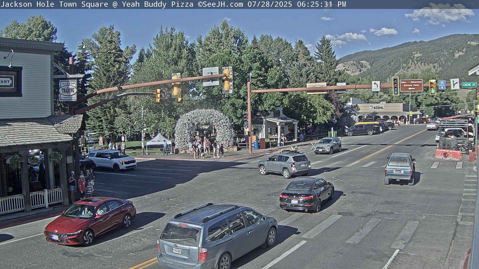
If you plan to travel, we recommend checking road conditions along your route and staying on top of road closures here. If you are on Twitter, follow the hashtag: #WyoRoad (or look below) for the latest weather affecting roads and road conditions in and around Wyoming.
| Tweets by @NWSRiverton | A Twitter List by NWSRiverton |
|
Get the play-by-play on this storm and contribute your own snow reports to #wywx |

Summary | Forecast | Observed Snow and Wind | Travel Center | Monitoring & Reporting | Safety
PLEASE SEND US YOUR SNOW REPORTS (CLICK HERE)
 |
Monitor our Weather Summary Page for current Warnings, Watches, and Advisories. What's the difference? |
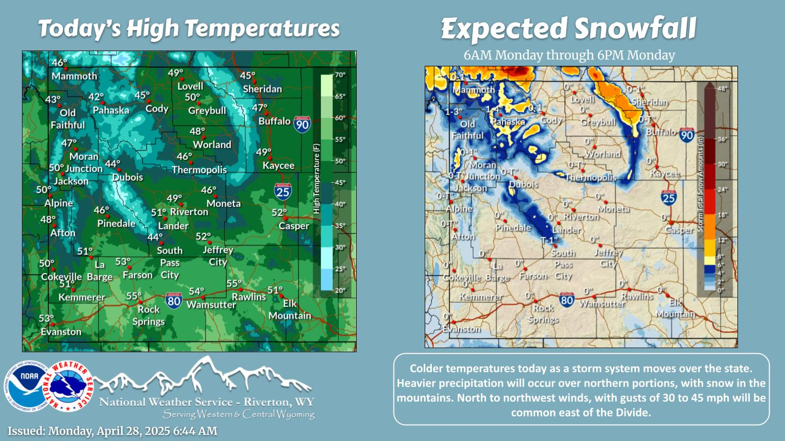 |
Check the latest Weather Story graphic for an overview of the area forecast. |
 |
Check out what's on the radar. Riverton | Pocatello | Cheyenne | Billings | Salt Lake City | Rapid City | Mosaic |
 |
Submit storm reports/images and keep up to date with us on Facebook! |
 |
Submit storm reports/images and keep up to date with us on Twitter! |
 |
Other reporting methods include email (nws.riverton@noaa.gov), or by phone at 1-800-211-1448. |
 |
Check the latest Public Information Statement for the latest storm reports. |
 |
Monitor current road conditions by visiting the Wyoming Dept. of Transportation (WYDOT) or by calling 5-1-1. |
 |
Get current road conditions, web camera images, road alerts, and much more on your mobile device by downloading the Wyoming 511 Mobile App. |
Summary | Forecast | Observed Snow and Wind | Travel Center | Monitoring & Reporting | Safety
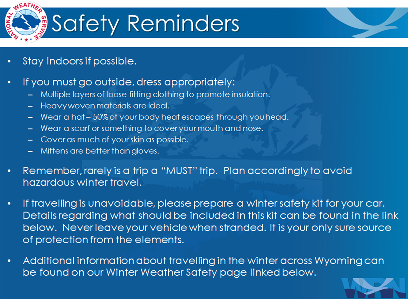
Winter Safety Kit | Winter Weather Safety
 |
Learn more about the National Weather Service's efforts to build a Weather-Ready Nation! |