A widespread heat wave will peak over the South and East today, with several dozen temperature records expected along the East Coast. Heat should begin to ease this weekend in the Northeast, while hazardous heat continues over the South. Severe thunderstorms capable of damaging winds are possible across parts of the Appalachians, Mid Atlantic, and Northeast this afternoon and evening. Read More >

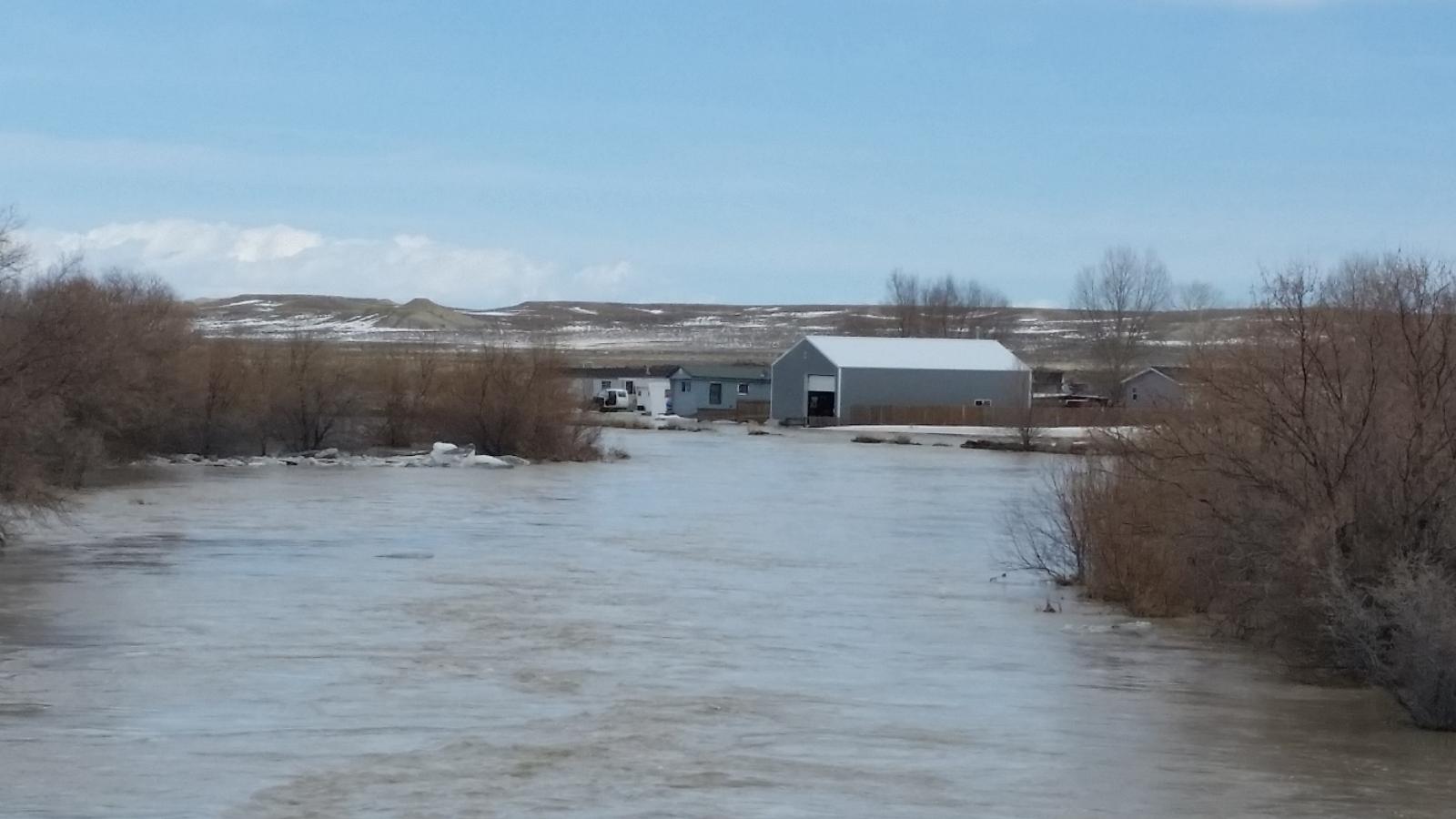
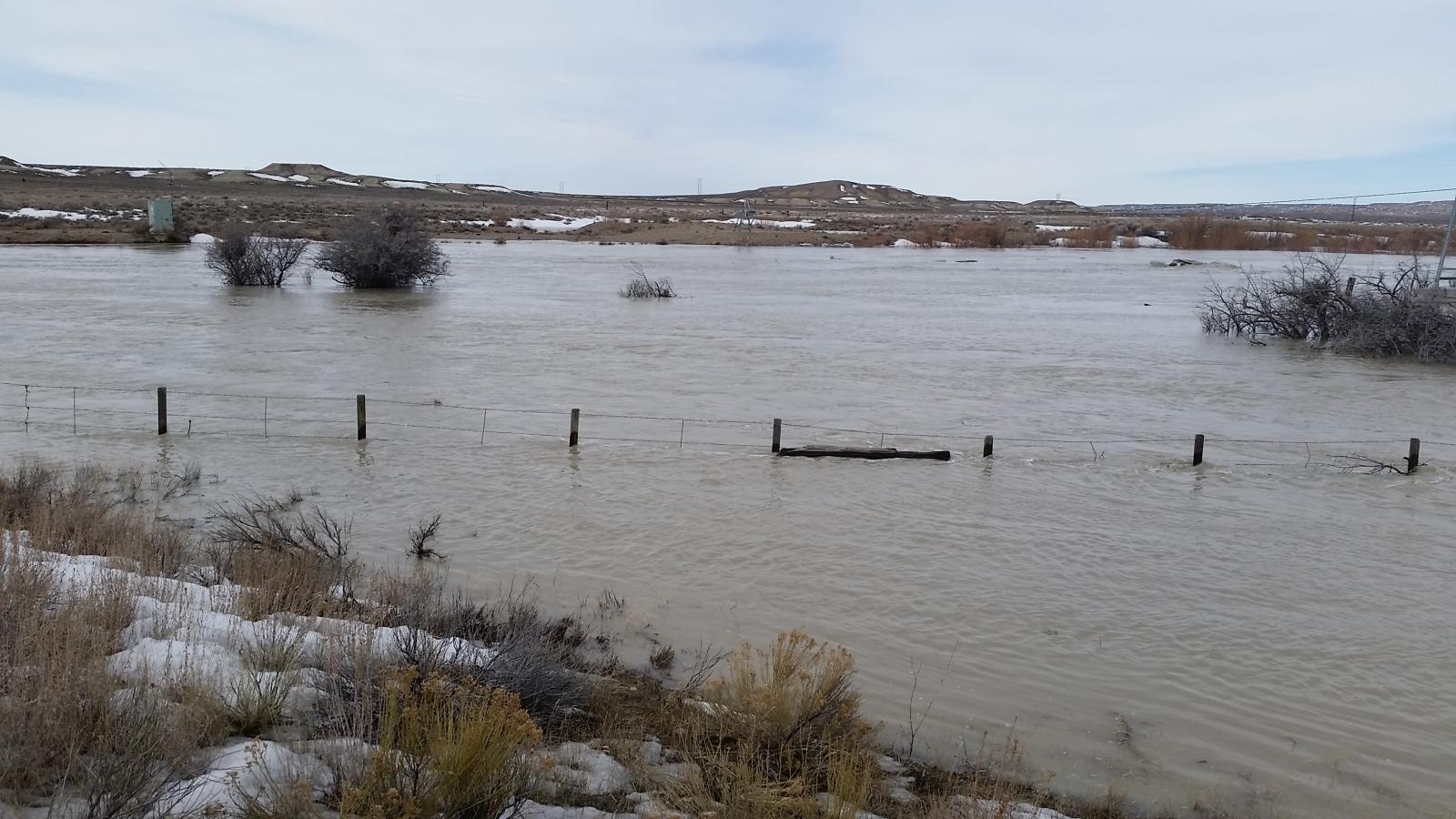
Recent warm temperatures have caused rapid melting of lower elevation snowpack and rises in area rivers and creeks across southwest Wyoming The Blacks Fork River near Little America (pictured below) was at 11.1 feet at 11 am Tuesday morning which is nearly a foot above flood stage. A Flood Warning is in effect along the Blacks Fork River from around Granger to Flaming Gorge Reservoir until 1015 am Wednesday where moderate flooding is expected. Snowmelt runoff will also keep streams, creeks and drainage ditches running high through mid-week across southwest Wyoming. For the latest road conditions in Wyoming, dial 511 or the go to the Wyoming Travel Information Map.
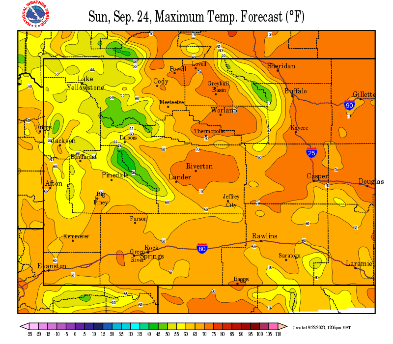
Temperatures: A warming trend is expected Tuesday and Wednesday with most high temperatures in the 50s below 7500 feet for Tuesday and Wednesday. These warm temperatures will likely accelerate the melting of remaining snowpack below 8000 feet, and keep rivers and streams running high.
| Click on Images to Enlarge | |
 |
|
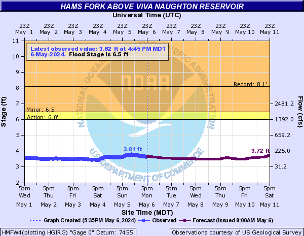
| Flood Warning in effect for urban areas and small streams for snowmelt until 1015 am Wednesday for the Blacks Fork River from around Granger to Flaming Gorge Reservoir. | |
| Click on Images to Enlarge | |
 |
 |
|
for Blacks Fork River Near Little America (gage site pictured above) |
|
| Click on Images to Enlarge |
 |
 |
||
|
|
|

Want to track the storm? Here are the local and regional radar loops:
 |
  |

River Gage Stages and Forecasts (AHPS)
| Social Media:Tweets by @NWSRiverton | |
|
Twitter: www.twitter.com/NWSRiverton Facebook: www.facebook.com/NWSRiverton |
Here are some additional links to help monitor the weather situation:


.jpg)