
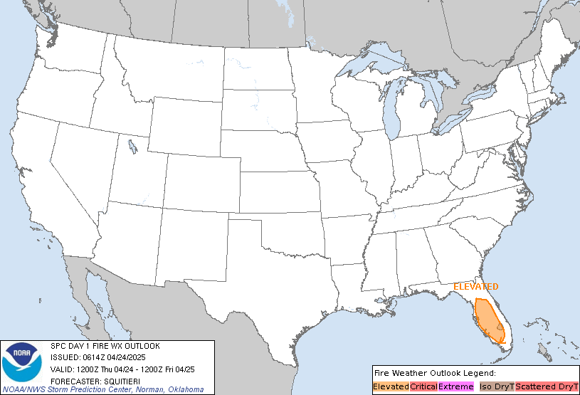
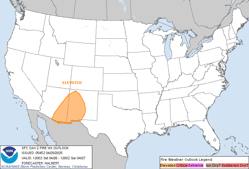
Severe thunderstorms will continue today across portions of the Southeast as this system tracks offshore. Meanwhile, dry and breezy conditions will increase fire weather concerns for areas of central Florida today; The threat shifts into portions of the northern Plains on Friday. Record warmth will spread for the southern Plains, Southwest, central Great Basin and interior California next week. Read More >
Links | Map | Warnings, Radar, & Satellite | Fire & Thunder Forecasts
Outlooks and Climate| Fuels and Fire Danger Maps
 |
||||||||||||||||||||||||||||||||
|
||||||||||||||||||||||||||||||||
| Maple Wildfire Inciweb Page | ||||||||||||||||||||||||||||||||
| WFO Riverton Fire Weather Page | ||||||||||||||||||||||||||||||||
| Fire Weather Planning Forecast For Zone 140 - Yellowstone National Park | ||||||||||||||||||||||||||||||||
| Click Boxes to Expand Product on Page | ||||||||||||||||||||||||||||||||
|
||||||||||||||||||||||||||||||||
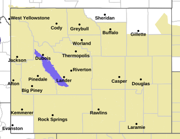
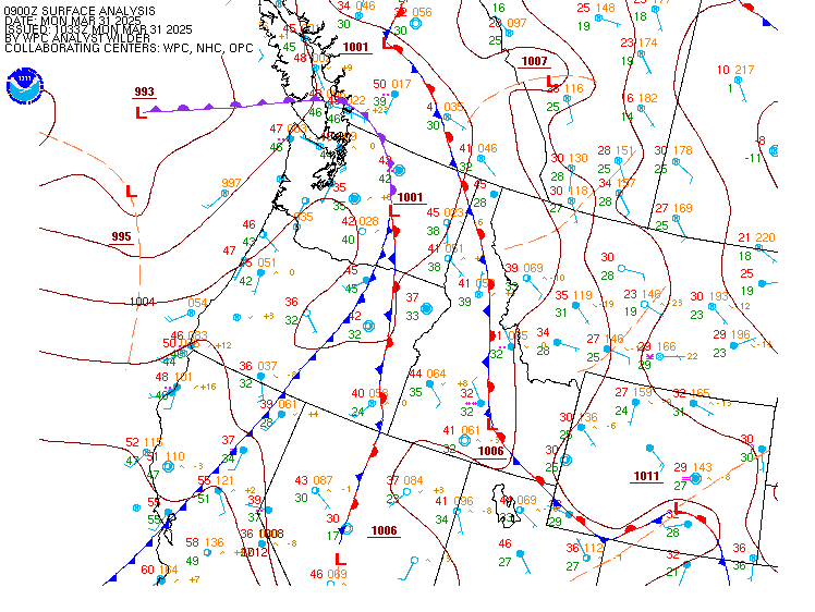
Current Warnings, Radar, and Satellite
(Click thumbnails to expand Images)
 |
 |
|
|
Click Image to Enlarge |
|
|
|
|
 |
 |
 |
|
|
|
|
|
|
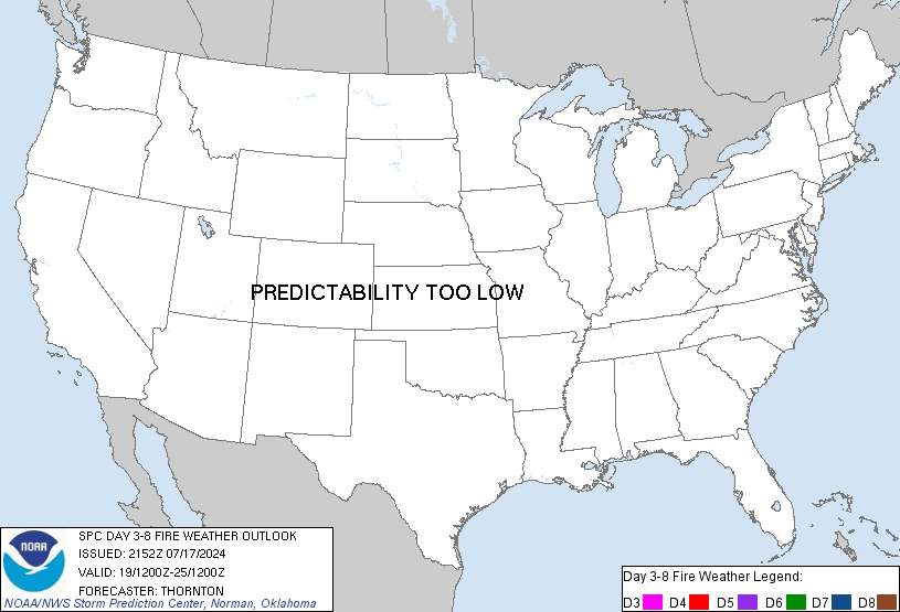
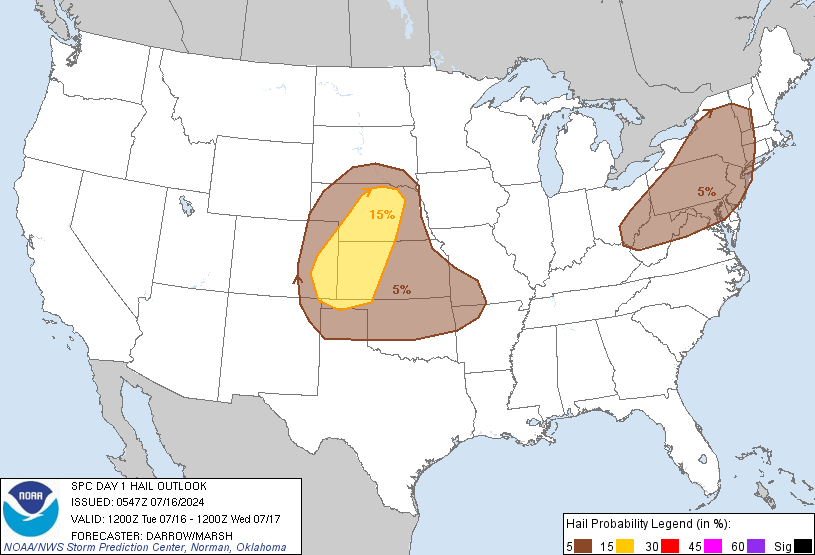
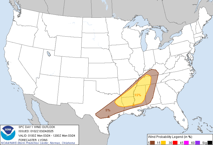
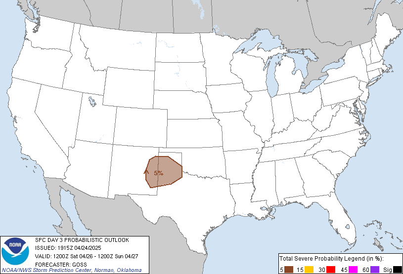
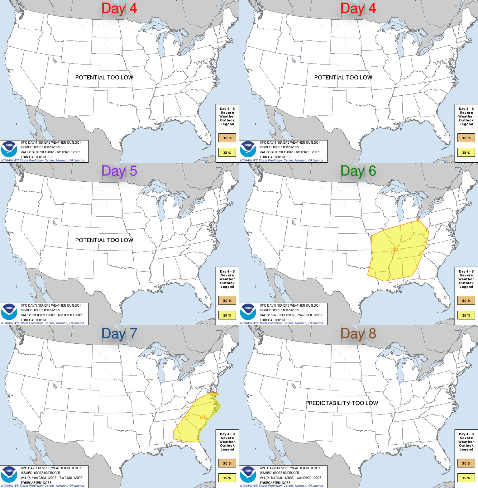
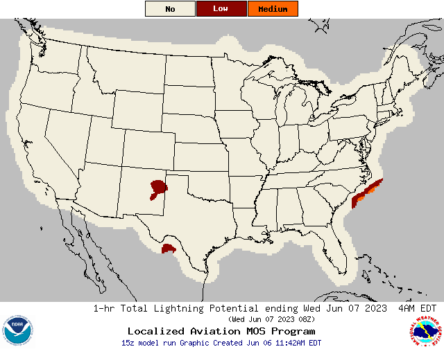
Storm Prediction Center Critical Fire Areas and Thunderstorm Forecasts
(Click thumbnails to expand Images)
|
|
|
|
 |
 |
 |
|
|
|
|
 |
 |
 |
|
|
|
|
 |
 |
 |
|
|
|
|
|
|
 |
 |
 |
 |
 |
|
|
|
|
|
|
 |

|
 |
 |
 |
|
|
|
|
|
|
 |

|
 |
 |
 |
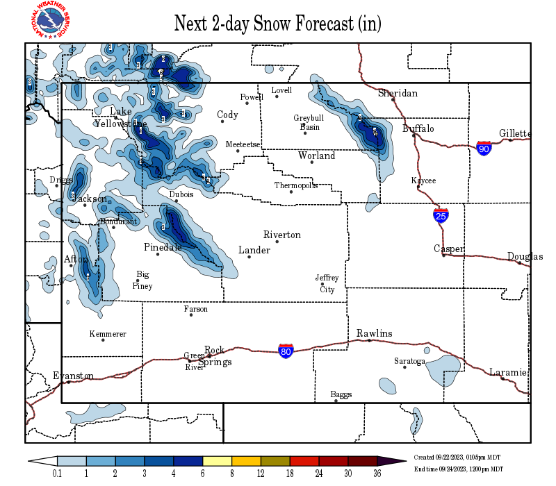
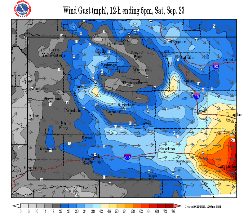
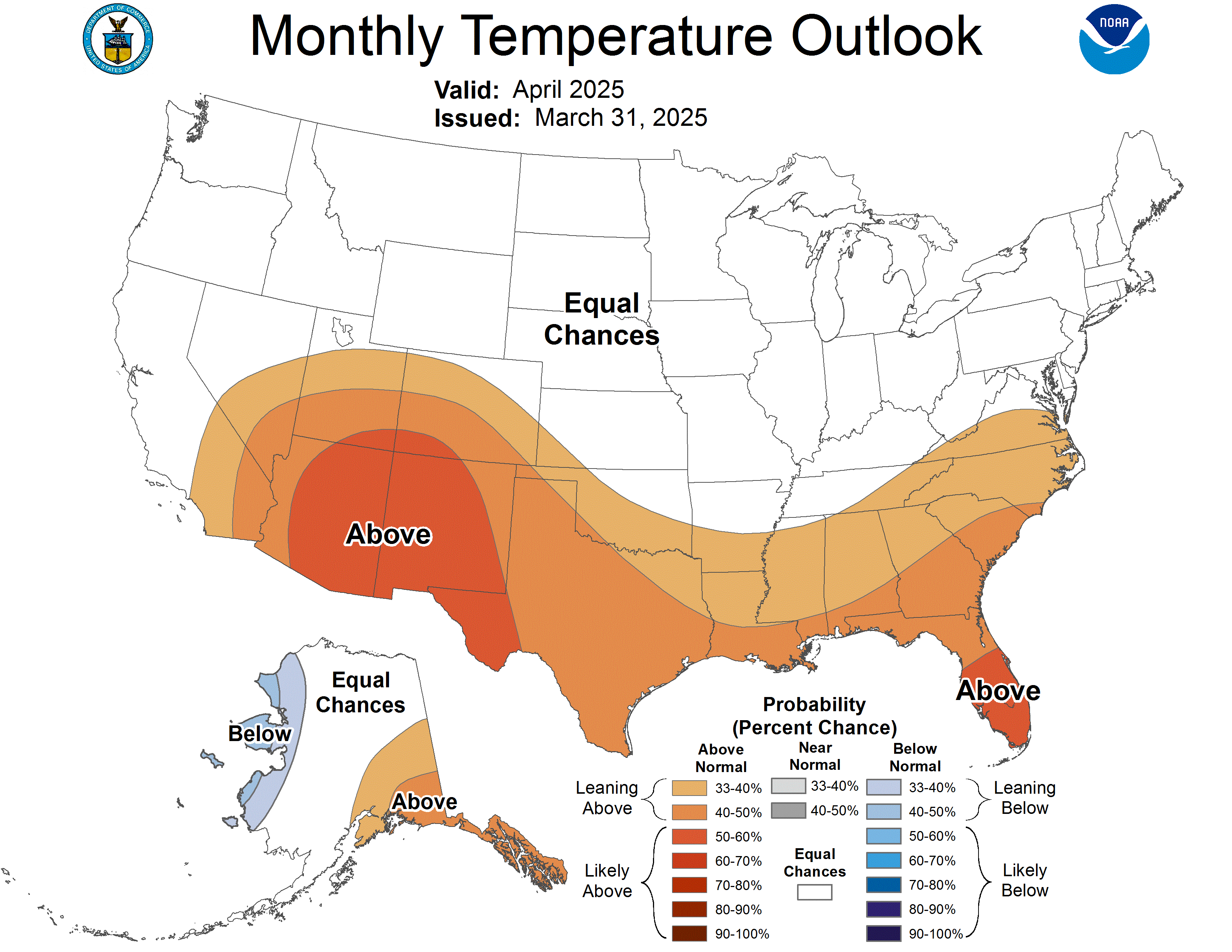
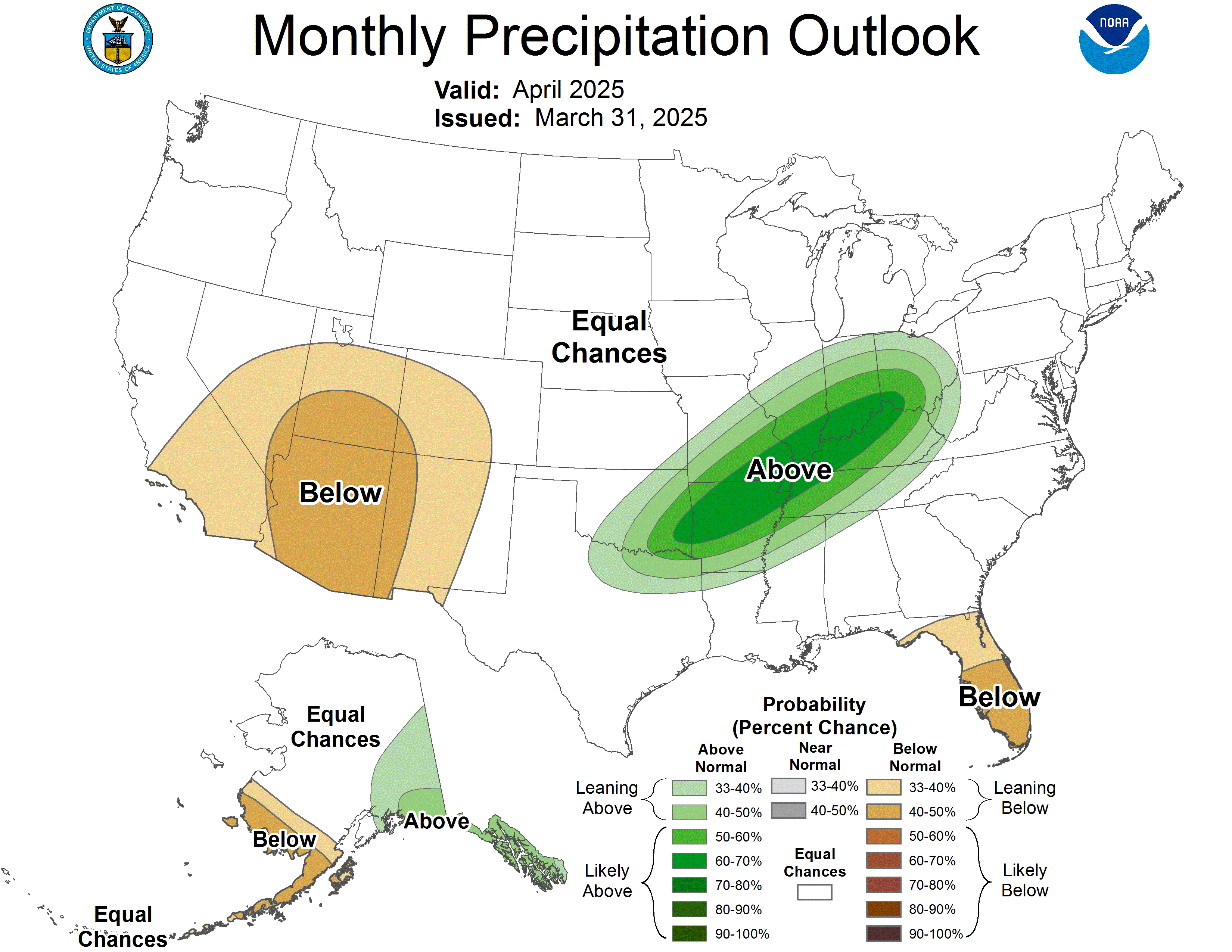
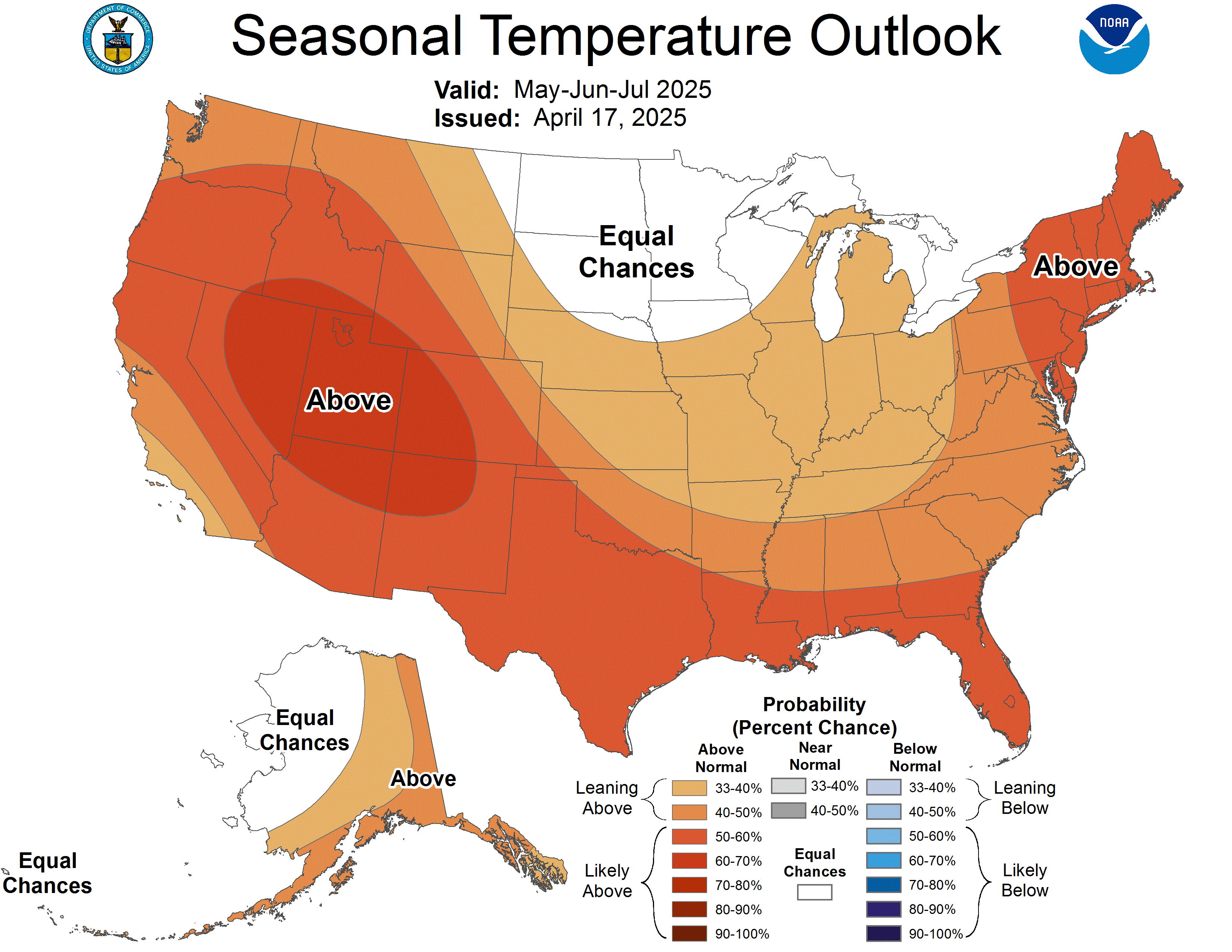
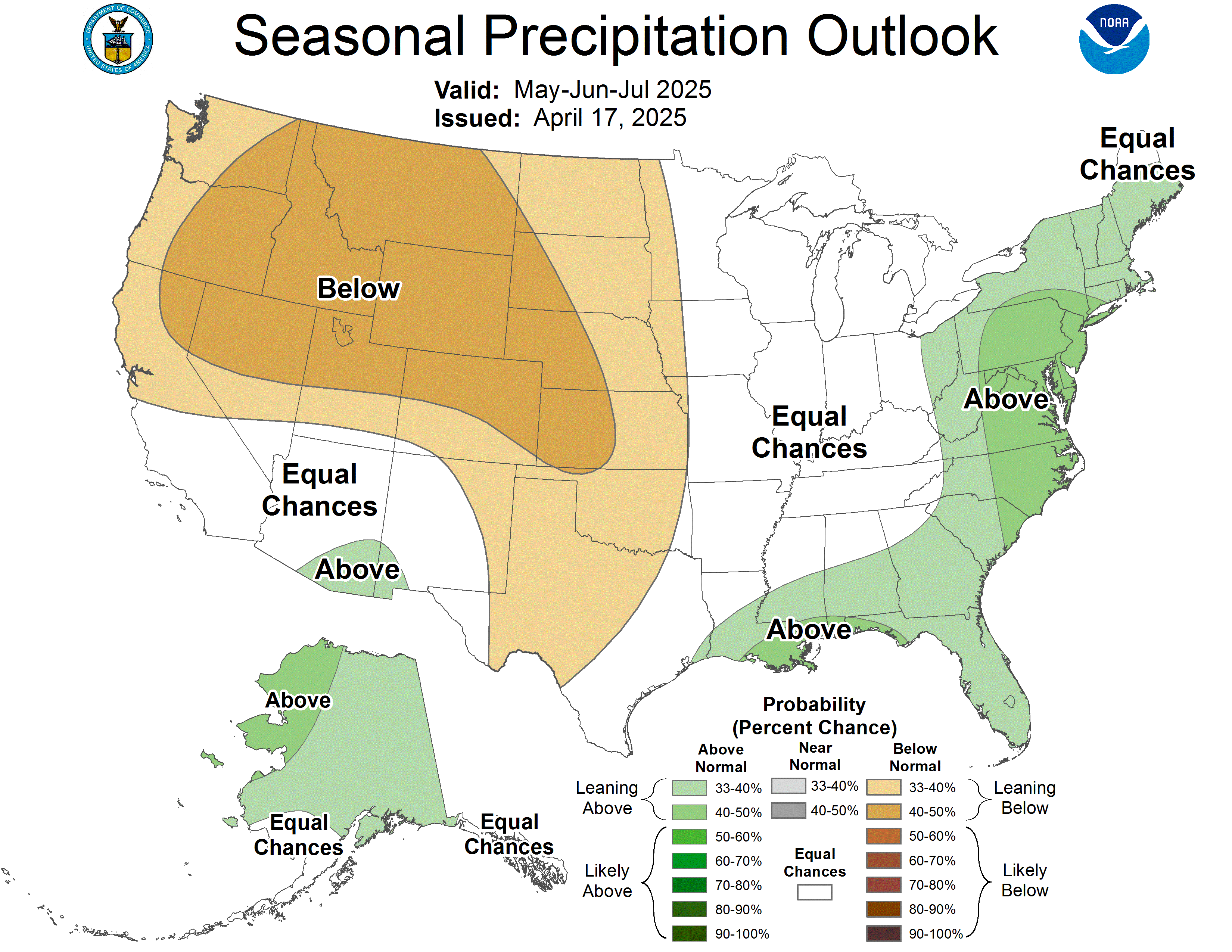
Weather Outlook and Climate Information
(Click thumbnails to expand Images)
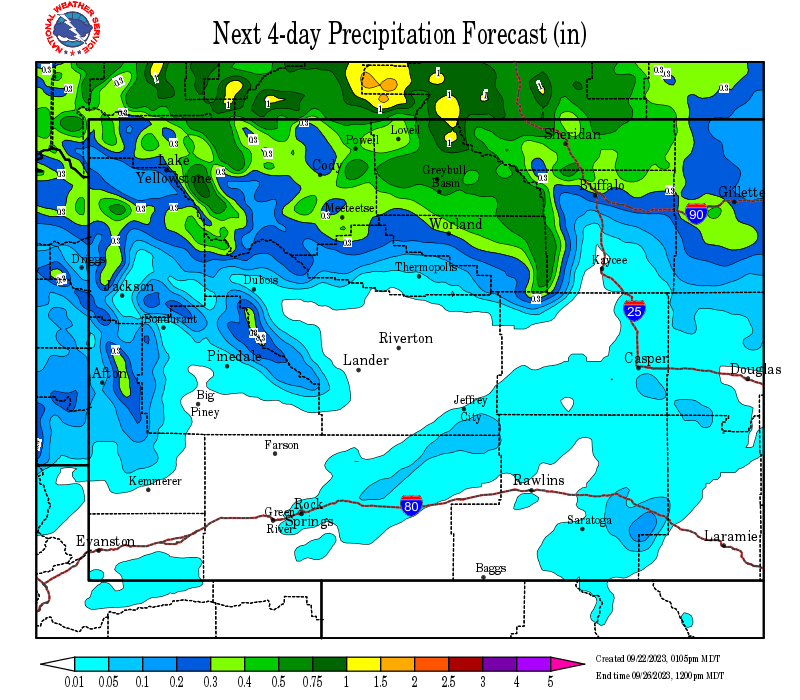
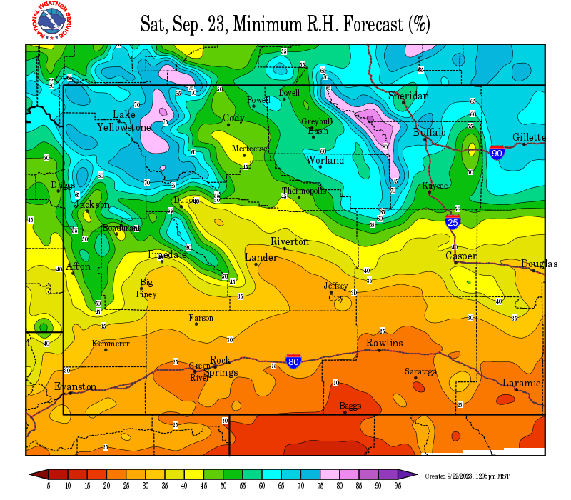
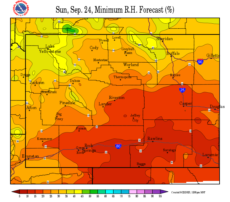
| Local Precipitation, Wind, and Humidity Information (NWS) |
|
|
|
|
|
 |
 |
 |
 |
|
|
|
|
|
 |
 |
 |
 |
|
|
|
|
|
|
|
 |
 |
 |
 |
|
|
|
|
|
 |
 |
 |
 |
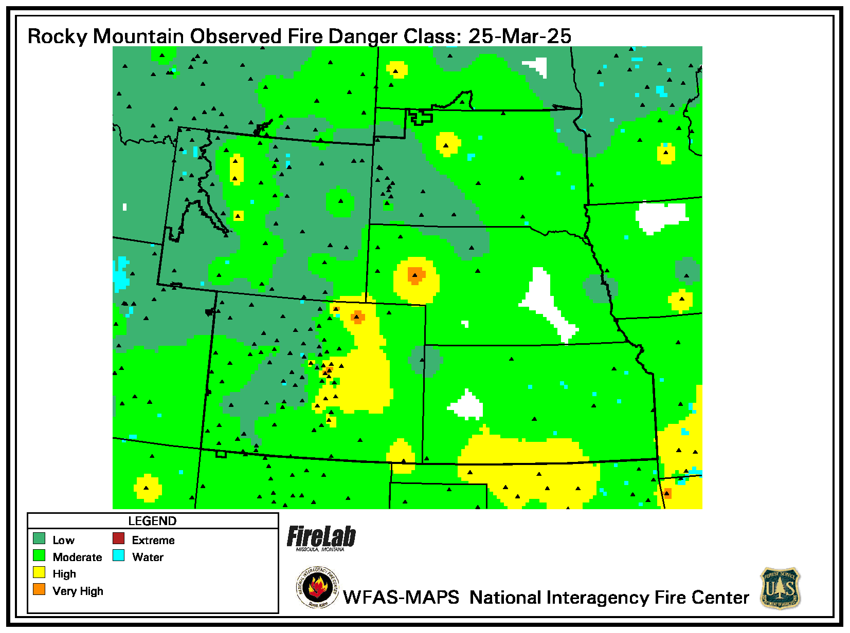
USFS Fire Danger Graphics and Fuels
(Click thumbnails to expand Images)
|
|
|
|
 |
 |
 |
|
|
|
|
|
 |
 |
 |
 |
|
|
|
|
|
 |
 |
 |
 |
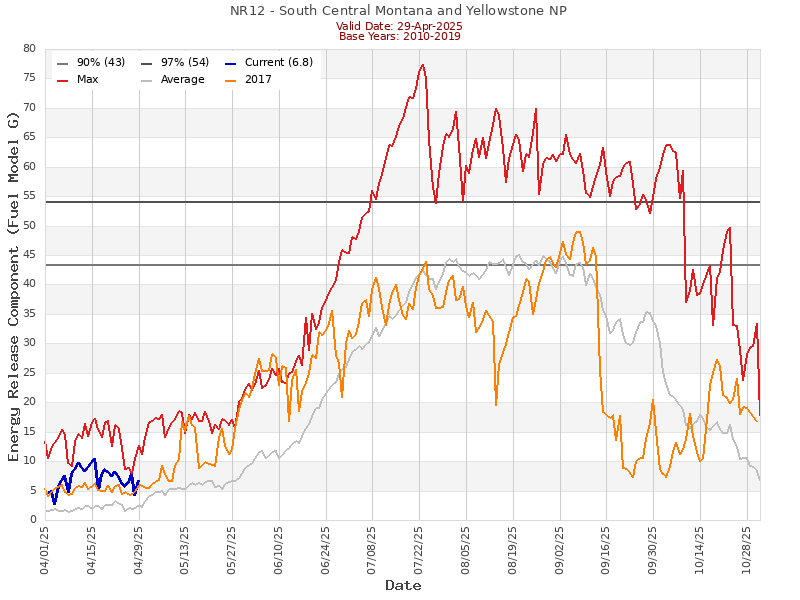
| NR12 ERC Fuels Graph |
|
|
 |
 |
 |
Return to NWS Riverton Homepage
 |
Building a Weather-Ready Nation |