A storm system will produce severe thunderstorms over the Lower Mississippi River Valley, and heavy to excessive rainfall from the Southern Plains through the Ohio River Valley. A strong Pacific storm will bring the potential for flash flooding, severe thunderstorms, strong to locally damaging non-thunderstorm winds, and high elevation snow to the Hawaiian Islands through Friday. Read More >
Summary | Forecast | Social Media | Monitoring & Reporting | Safety
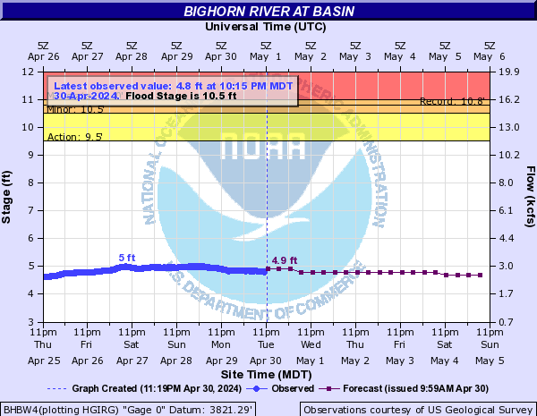
Flooding: A Flood Warning remains in effect until 415 pm MST Tuesday for ice jam flooding along the Bighorn River in north central Washakie County including the city of Worland, and south central Big Horn County including the city of Greybull. A river gauge on the Bighorn River in Worland was reporting a stage of 10.6 feet at 3 pm on Tuesday, which is down from a crest of 14.9 feet at 3 pm on Saturday. Flood stage is 10.5 feet. Moderate to significant flooding is expected to continue along the Bighorn River in Worland through Tuesday, with ice jam flooding possible further downstream between Worland and Greybull.
Avalanche Danger in the West: The avlalanche danger across the western mountains remained "considerable" on Sunday according to the Bridger Teton Avalanche Center. Dry conditions will prevail through mid-week, and the general avalanche hazard will continue to decrease as the recent snowfall settles. Visit JHAvalanche.org for more avalanche information.
| February 12, 2017 Aerial Views of Ice Jam Flooding along the Bighorn River in Worland (photos courtesy of Wyoming Department of Homeland Security) Click on an image to start slideshow |
 |
|
Click Image To Enlarge |
 |
 |
|
Click Image To Enlarge |
Click Image To Enlarge |
| Tweets by @NWSRiverton | #WyoRoad Tweets |
|
Get the play-by-play on this storm and contribute your own snow reports to #wywx |
On the road? Tweet road conditions to #WyoRoad!
|

Summary | Forecast | Monitoring & Reporting | Safety
PLEASE SEND US YOUR SNOW REPORTS (CLICK HERE)
 |
Monitor our Weather Summary Page for current Warnings, Watches, and Advisories. What's the difference? |
 |
Check the latest Weather Story graphic for an overview of the area forecast. |
 |
Check out what's on the radar. Riverton | Pocatello | Cheyenne | Billings | Salt Lake City | Rapid City | Mosaic |
 |
Submit storm reports/images and keep up to date with us on Facebook! |
 |
Submit storm reports/images and keep up to date with us on Twitter! |
 |
Other reporting methods include submitting an online report, email (nws.riverton@noaa.gov), or by phone at 1-800-211-1448. |
 |
Check the latest Public Information Statement for the latest storm reports. |
 |
Monitor current road conditions by visiting the Wyoming Dept. of Transportation (WYDOT) or by calling 5-1-1. |
 |
Get current road conditions, web camera images, road alerts, and much more on your mobile device by downloading the Wyoming 511 Mobile App. |
Summary | Forecast | Travel Center | Monitoring & Reporting | Safety

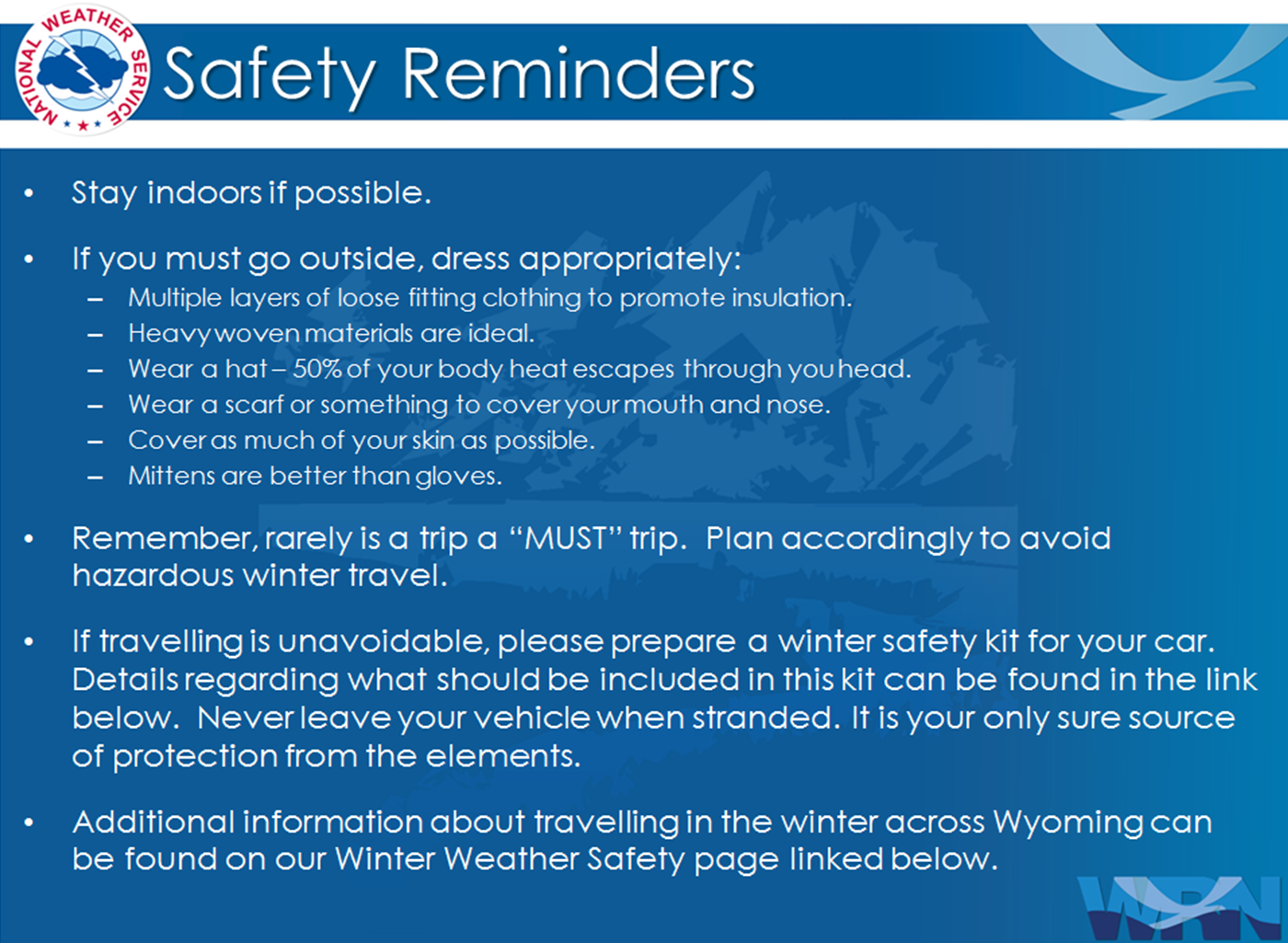
Winter Safety Kit | Winter Weather Safety
 |
Learn more about the National Weather Service's efforts to build a Weather-Ready Nation! |