National Weather Service United States Department of Commerce

Critical Fire Weather in Southern California; Winter Storm To Impact the Southern U.S.

High winds and low relative humidity will continue critical fire weather conditions in southern California through Friday. A significant winter storm will impact the South. Expect 6-8 inches of snow from southeast Oklahoma through western North Carolina. Farther south, snow will transition to sleet/freezing rain, and ice accumulation is possible from the ArkLaTex area through the Southeast. Read More >

Summary | Forecast | Observed Snow and Wind | Travel Center | Monitoring & Reporting | Safety


SNOW: A winter storm will impact northwest Wyoming through Saturday afternoon. The heaviest snow will occur Saturday morning.  As of 5:00 AM Saturday, much of the snow has been confined to areas near the Montana border with 12-22" falling in the northern Absaroka Range. Additional snowfall totals on Saturday will generally range from 4-8" in the mountains. Valley locations may only see 1-3" of snow, with locally higher amounts in northern Grand Teton National Park.

COLD and WIND: East of the Continental Divide the story will be very cold temperatures and gusty westerly wind. An Arctic cold front will keep northern Wyoming in the deep freeze into Saturday morning. This front may briefly retreat north Saturday only to push south again late Saturday afternoon and night.  Gusty westerly wind is anticipated ahead of this Arctic front across southwest Wyoming, mainly Sweetwater County. Wind speeds on Saturday will increase to 20 to 30 mph with gusts of 40 to as high as 50 mph.

IMPACTS:

  • Travel over western and northern mountain passes, primarily Chief Joseph and to a lesser extent Teton and Togwotee, will be difficult at times through at least Saturday.
  • Gusty west wind will create hazardous crosswinds Saturday on US 189 and US 191 in Sweetwater County.
     
Click to enlarge

Model Forecast of precipitation every hour
from 5 am to 5 pm Saturday.
 Darker blue shades   represent heavier snow.

Top Menu


 Summary | Forecast | Observed Snow and WindTravel Center | Monitoring & Reporting | Safety
 

NWS Text Products and Forecasts

  Area Forecast Discussion
  Winter Weather Statement
  Special Weather Statement
  What's a "Watch?"
  Observed Snow Totals or High Wind
 High Wind Statement
 Weather Story

Quick View of Hazards and Forecast Wind Gusts (created at 5:00 AM Saturday 12/30/17)
Click to enlarge Click to enlarge

  Winter Storm Warnings   and  Winter Weather Advisories 
in Effect until 5 pm Saturday
for northern and western Wyoming

Click Image To Enlarge

Strong wind gusts of over 50 mph could result in
loss of vehicle control or a blow over to high profile
trucks with an empty or light load.

Click Image To Enlarge


Snowfall Forecast

Click to enlarge  

Click Image To Enlarge


Temperature Forecasts

Click to enlarge Click to enlarge

Saturday's High Temperature
Click Image To Enlarge

Sunday's High Temperature
Click Image To Enlarge 

 Top Menu


Snow Totals and Wind Reports will be posted and updated here once the storm occurs
(Please double check date and time of product)

                        
547
NOUS45 KRIW 030354
PNSRIW
WYZ001>020-022>030-031546-

Public Information Statement
National Weather Service Riverton WY
846 PM MST Thu Jan 2 2025

...24 HOUR SNOWFALL REPORTS...

A weather system brought snowfall to portions of Wyoming
starting the morning of Wednesday 01/01/2025 and ending
around noon on Thursday 01/02/2025. The highest snowfall
reports were across the western mountains. Below are 24
hour snow reports.

Location                     Amount     Elevation (ft.)

...Big Horn County...
14 NE Shell                  5.0 in     9355

...Fremont County...
15 W Fort Washakie           7.0 in     8426
11 WSW Burris                6.0 in     9909
6 WSW Dubois                 6.0 in     9419
16 NE Dubois                 5.0 in     8410
11 N Dubois                  5.0 in     8658
14 SW Fort Washakie          5.0 in     10067
23 NW Dubois                 4.0 in     9347
10 NNW South Pass City       4.0 in     9674
13 SW Lander                 4.0 in     8714
7 NNW South Pass City        3.0 in     8941

...Hot Springs County...
23 WSW Hamilton Dome         3.0 in     8905

...Lincoln County...
15 ESE Smoot                 18.0 in    9033
16 ENE Turnerville           15.0 in    8796
15 ENE Cokeville             13.0 in    7886
6 ENE Smoot                  12.0 in    8380
21 NE Cokeville              12.0 in    9329
3 SE Turnerville             12.0 in    8219
10 ENE Turnerville           11.0 in    6642
1 SE Thayne                  10.0 in    6079
3 N Etna                     9.5 in     5929
4 NNE Thayne                 9.0 in     6247
15 NNE Cokeville             9.0 in     8368
4 NE Thayne                  8.8 in     6199
8 S Smoot                    7.0 in     7577
2 NNW Turnerville            7.0 in     6346
Afton                        5.8 in     6249
5 SSE Smoot                  4.0 in     6971
16 ENE Turnerville           4.0 in     9022
10 ESE Smoot                 3.0 in     9378

...Natrona County...
22 SE Casper                 4.0 in     8401

...Park County...
12 SE Pahaska                7.0 in     9643
7 NW Sunlight Basin          6.0 in     8031
19 SW Valley                 6.0 in     8546
14 N Sunlight Basin          5.0 in     9361
13 WSW Sunlight Basin        5.0 in     9358
8 W East Entrance            5.0 in     8416
East Entrance                4.5 in     6946
20 SW Pitchfork              4.0 in     9784
1 SW Canyon                  4.0 in     7868
16 N Pahaska                 4.0 in     9327

...Sublette County...
14 E Bondurant               14.0 in    8202
20 NW Calpet                 14.0 in    8065
17 ESE Turnerville           13.0 in    8500
12 N Cora                    9.0 in     8392
12 ESE Bondurant             9.0 in     7953
17 WNW South Pass City       8.0 in     8878
11 E Big Sandy               8.0 in     9082
20 E Bondurant               8.0 in     7730
16 SW Dubois                 8.0 in     9716
11 NNE Pinedale              6.0 in     9016
5 NW Daniel                  5.0 in     7345
1 NNW Pinedale               4.0 in     7205
6 WNW Cora                   4.0 in     7461
5 SE Pinedale                3.3 in     7127

...Teton County...
10 N Bondurant               14.0 in    6904
5 ENE Alta                   13.0 in    8807
4 WNW Teton Village          13.0 in    9634
3 NW Teton Village           13.0 in    9657
6 NNW Moose                  13.0 in    9580
3 NW Teton Village           12.5 in    8225
2 NW Wilson                  10.0 in    8020
19 NE Bondurant              10.0 in    8768
Moose                        9.5 in     6458
8 W South Entrance           9.0 in     7357
23 ESE Moran Junction        8.0 in     9624
5 N South Entrance           8.0 in     7881
2 NNE Teton Village          7.0 in     6338
2 SSW Teton Village          6.5 in     6221
2 NW Teton Village           6.1 in     6611
8 NNE Moran Junction         6.0 in     7677
South Entrance               6.0 in     7005
1 S Jackson                  4.0 in     7808
22 E South Entrance          4.0 in     9320
2 SSW Grant Village          3.0 in     7967

...Washakie County...
18 ENE Ten Sleep             3.0 in     9455

Observations are collected from a variety of sources with varying
equipment and exposures. We thank all volunteer weather observers
for their dedication. Not all data listed are considered official.

$$


 Top Menu


Summary | Forecast | Observed Snow and WindTravel Center | Monitoring & Reporting | Safety

Current Radar & Web Cams - Click Thumbnails To Enlarge
Northern Rockies Radar
Riverton Radar
Pocatello
Billings
Salt Lake
Cheyenne


            Road Conditions and Web Cameras
Teton Pass - Hwy 22
Alpine Junction - U.S. Hwy 26/89/191
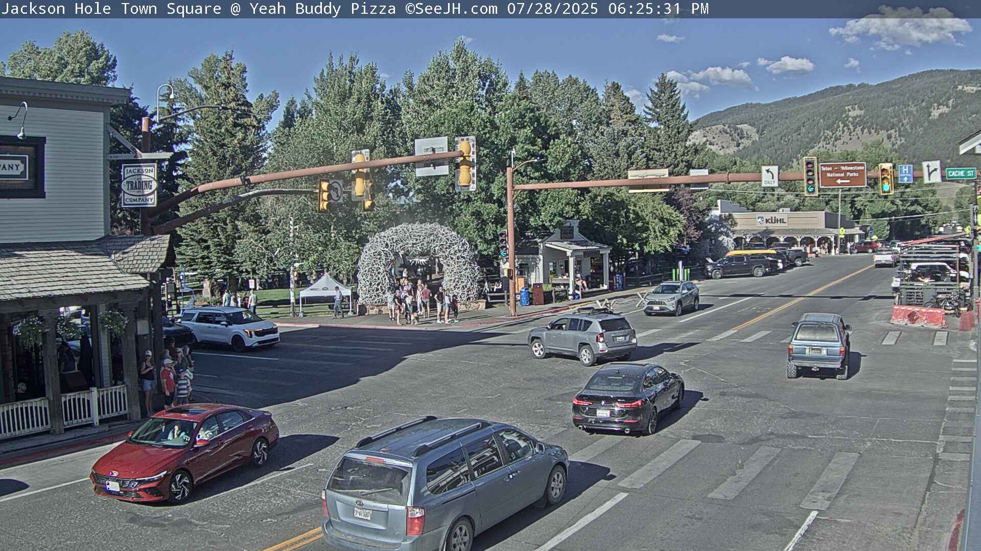
Jackson
Togwotee Mountain Lodge
Togwotee Pass - U.S. Hwy 26
Dubois
Granite Pass - U.S. Hwy 14
Powder River Pass - U.S. Hwy 16
South Pass - Hwy 28
Powell - U.S. Hwy 14
Buffalo - I-25/I-90 Interchange
Casper Mountain
Casper
Beaver Rim - U.S. Hwy 287
I-80 - Rock Springs
I-80  - Laramie


                                                                       Click Here to See All Webcams                                                  

If you plan to travel, we recommend checking road conditions along your route and staying on top of road closures here. If you are on Twitter, follow the hashtag: #WyoRoad (or look below) for the latest weather affecting roads and road conditions in and around Wyoming. 


Get the play-by-play on this storm and contribute your own snow reports to #wywx

Follow Us on Twitter @NWSRiverton

On the road?

Tweet road conditions to #WyoRoad!


 Summary | Forecast | Observed Snow and WindTravel Center | Monitoring & Reporting | Safety

PLEASE SEND US YOUR SNOW REPORTS (CLICK HERE)

Monitor our Weather Summary Page for current Warnings, Watches, and Advisories. What's the difference?
Current            Weather Story Check the latest Weather Story graphic for an overview of the area forecast.
NWS Riverton Radar Check out what's on the radar.
Riverton | Pocatello | Cheyenne | Billings | Salt Lake City | Rapid City | Mosaic
Submit storm reports/images and keep up to date with us on Facebook!
Submit storm reports/images and keep up to date with us on Twitter!
Other reporting methods include email (nws.riverton@noaa.gov), or by phone at 1-800-211-1448.
Check the latest Public Information Statement for the latest storm reports.
WyDoT's Webpage Monitor current road conditions by visiting the Wyoming Dept. of Transportation (WYDOT) or by calling 5-1-1.
Get current road conditions, web camera images, road alerts, and much more on your mobile device by downloading the Wyoming 511 Mobile App.


Top Menu

 Summary | Forecast | Observed Snow and WindTravel Center | Monitoring & Reporting | Safety
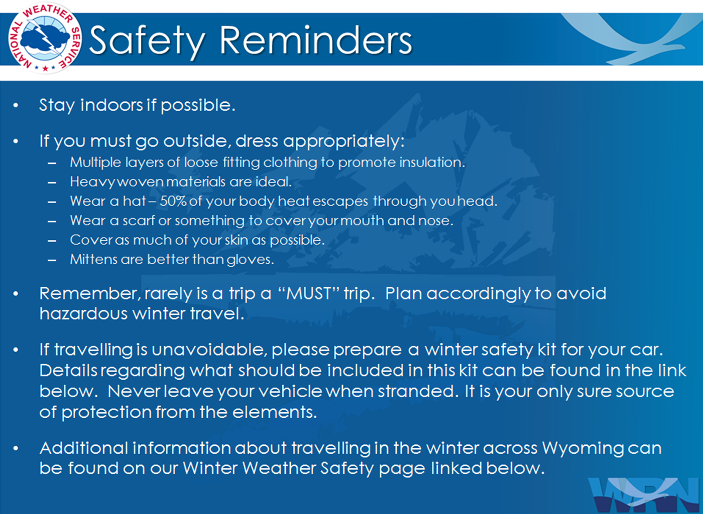
 

Winter Safety Kit      |      Winter Weather Safety


Learn more about the National Weather Service's efforts to build a Weather-Ready Nation!


 Top Menu