
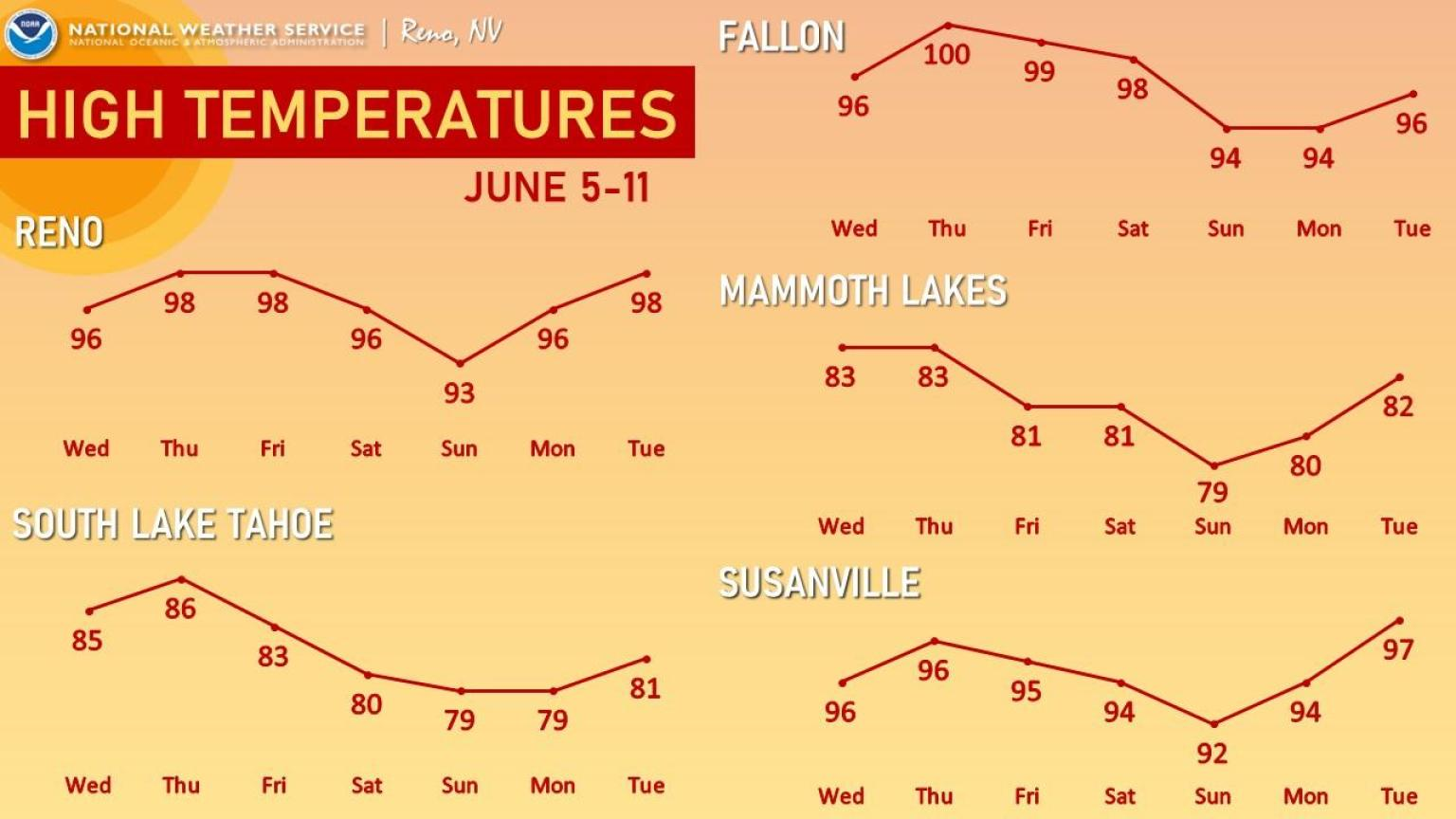
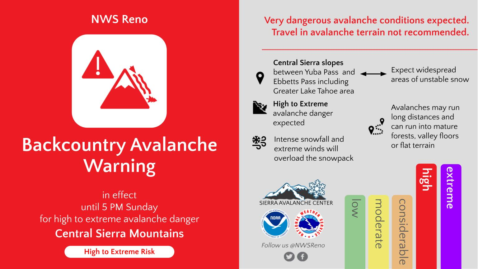
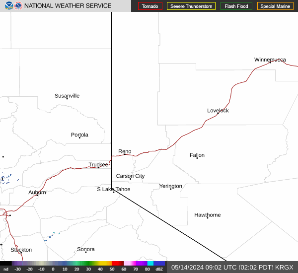
Flash flooding threatens areas from the Tennessee Valley to the Carolinas as storms repeat along a stalled front. Monsoonal storms may trigger flooding in the Southwest. Dangerous heat expands across the Desert Southwest, Plains, mid-Mississippi Valley and Southern Tier. Critical fire weather for interior Pacific Northwest. Cooler, drier air brings brief relief to the Great Lakes and Northeast. Read More >
Last Map Update: Sat, Jul 25, 2026 at 4:16:38 am PDT
|
Text Product Selector (Selected product opens in current window)
|
|


 Radar
Radar Satellite
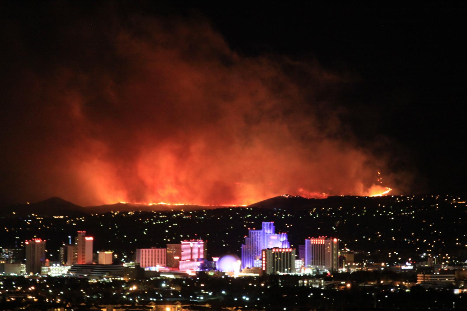 Fire Weather
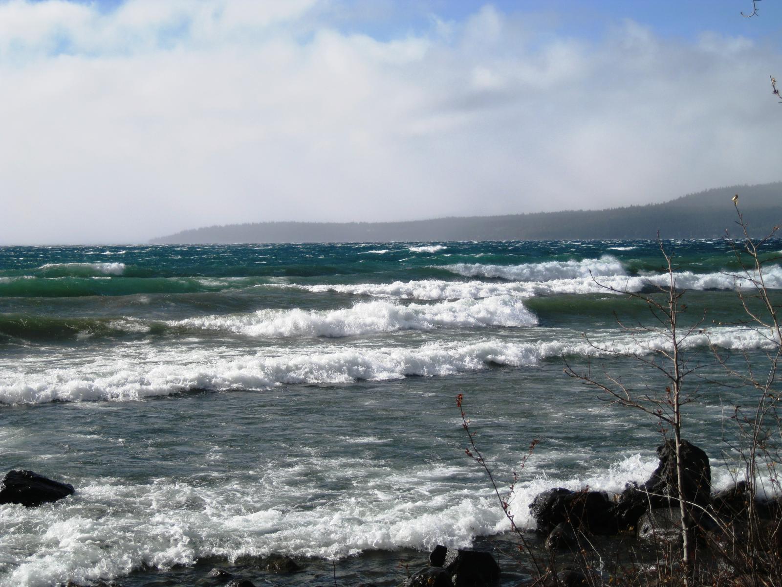 Lake Forecasts
 Snow & Avalanche
 Weather Stats
 Mountain Observations & Remote Data
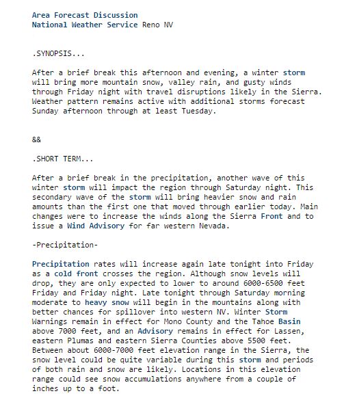 Forecast Discussion
 Graphical Forecasts
 Forecast Weather Table