There are no watches, warnings, or advisories at this time.
6-Day Temperature Forecast
Above normal high temperatures will continue into the weekend. Low temperatures are expected to be in the upper 40's to lower 50's. Increased cloud coverage will foster cooler highs and more mild lows early into next week.


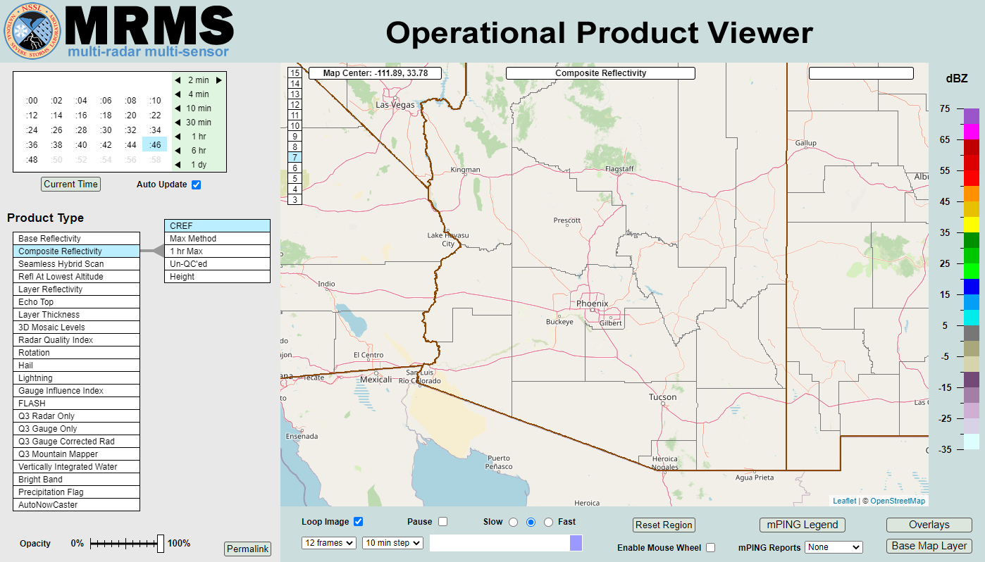 MRMS Radar Imagery
 Phoenix Radar
 Yuma Radar
 Regional Satellite
 GOES-16 Satellite
.PNG) Weather & Hazards Data Viewer
Weather & Hazards Data Viewer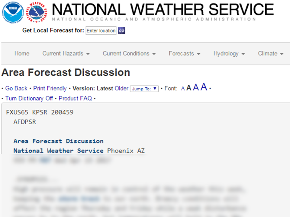 Forecast Discussion
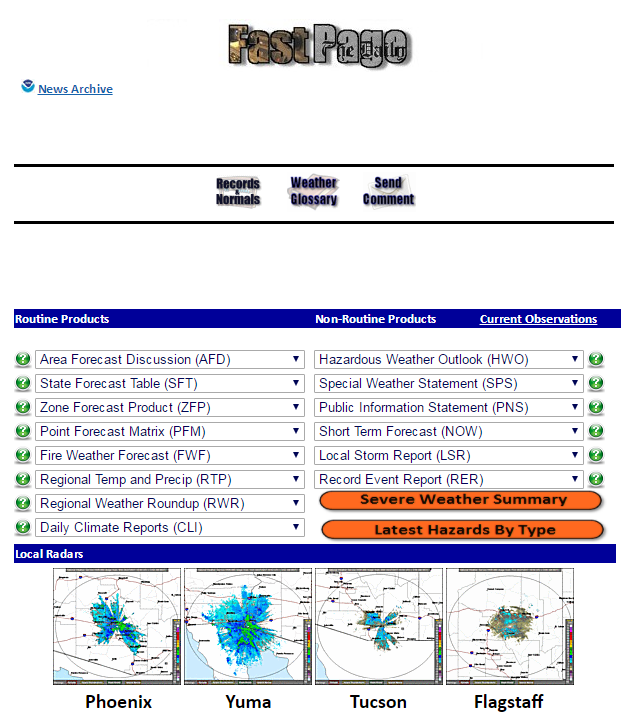 Fast Page
 Social Media
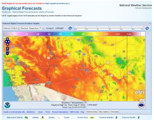 Local Graphical Forecast
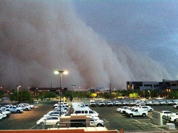 Monsoon Tracker
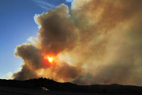 Fire Weather
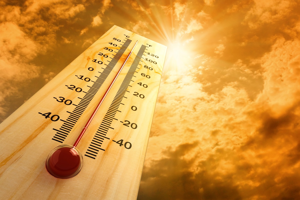 Heat
Heat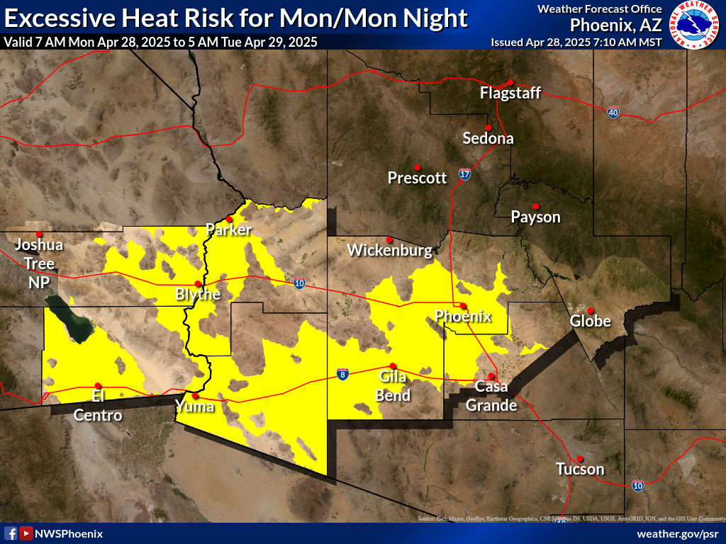 Experimental Graphical HWO
 SPC Outlooks
 Hurricane Outlook
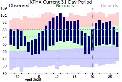 Local Climate Information
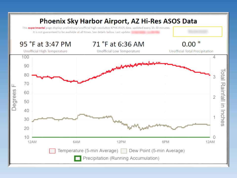 Hi-res KPHX ASOS Data