Well above normal temperatures with scattered areas of Major to Extreme HeatRisk is expected again Today. Temperatures will cool slightly through the first half of the week, but still remain above normal. Additionally, increasing moisture tonight into tomorrow will lead to increasing "feels like" temperatures. Lower desert locations will have "feels like" temperatures in the range of 110-120°, with the highest reading across SE CA and SW AZ. Storm chances will be mainly confined to the higher terrain areas of eastern and southeastern AZ through the majority of this week. Storm chances will increase across the lower deserts by the end of this week, with better chances heading into this weekend.


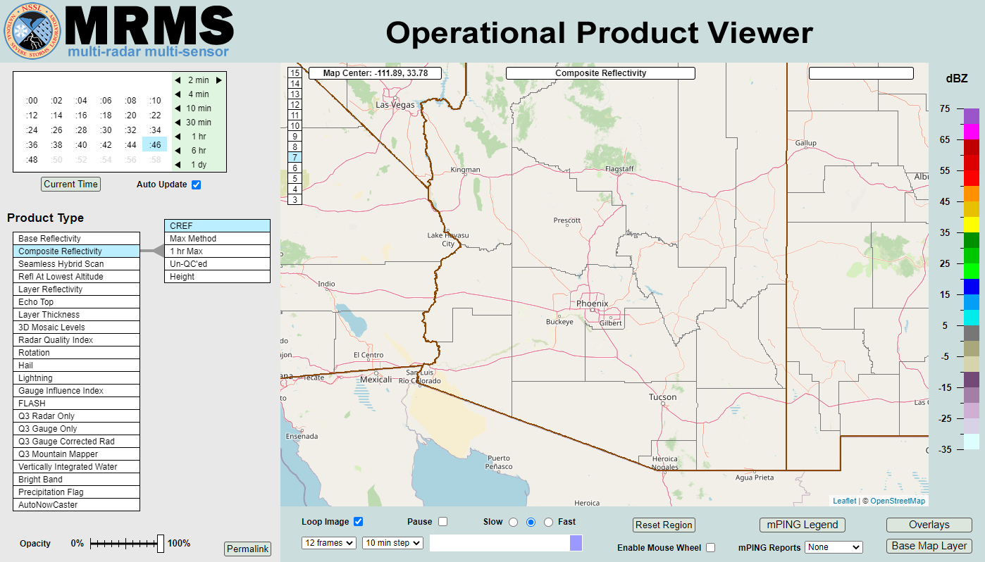 MRMS Radar Imagery
 Phoenix Radar
 Yuma Radar
 Regional Satellite
 GOES-19 Satellite
.PNG) Weather & Hazards Data Viewer
Weather & Hazards Data Viewer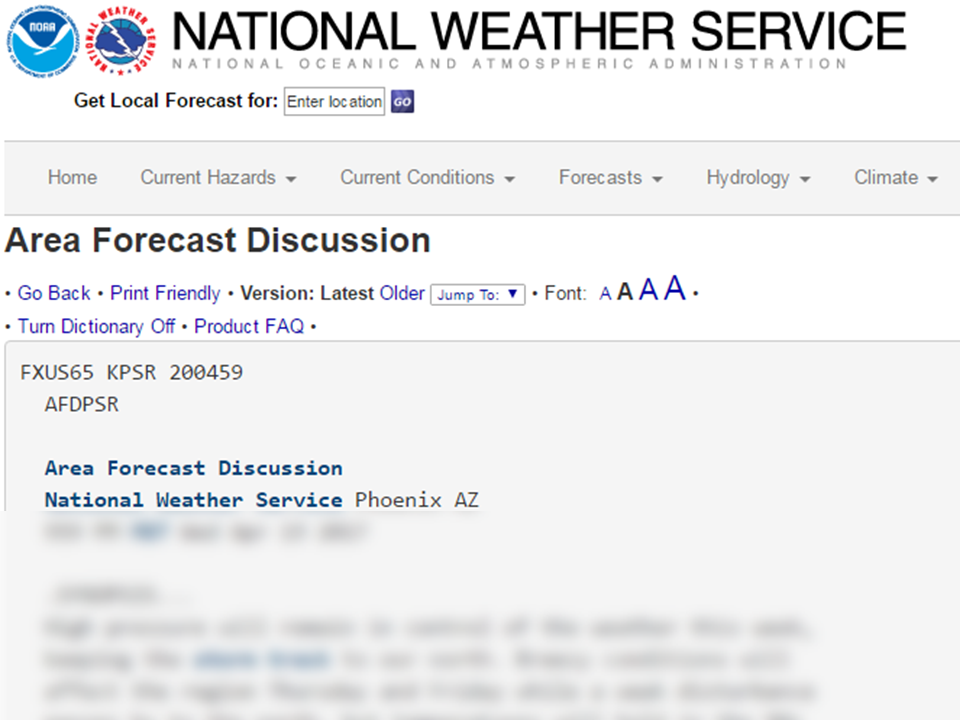 Forecast Discussion
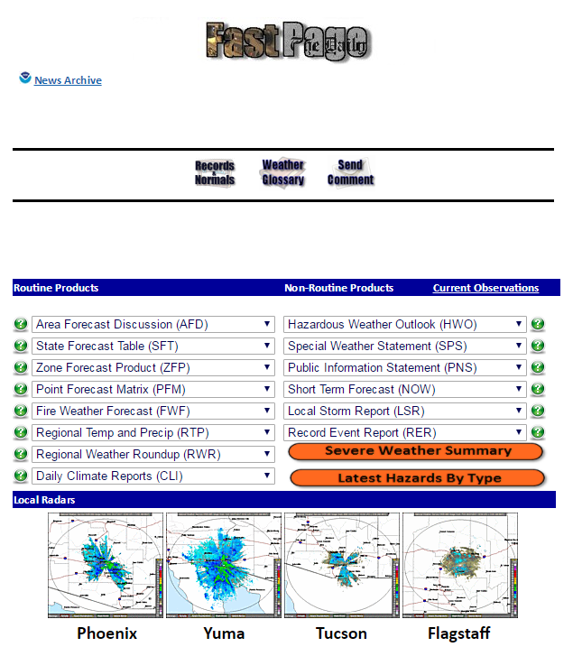 Fast Page
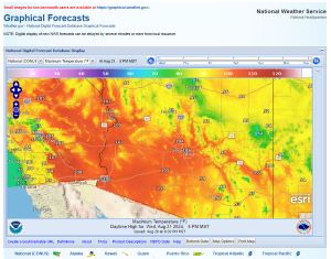 Local Graphical Forecast
 Drought Monitor
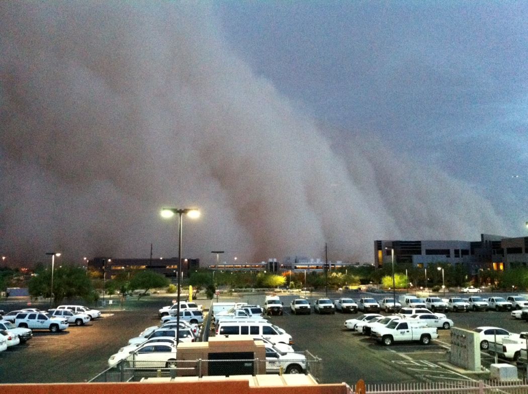 Monsoon Tracker
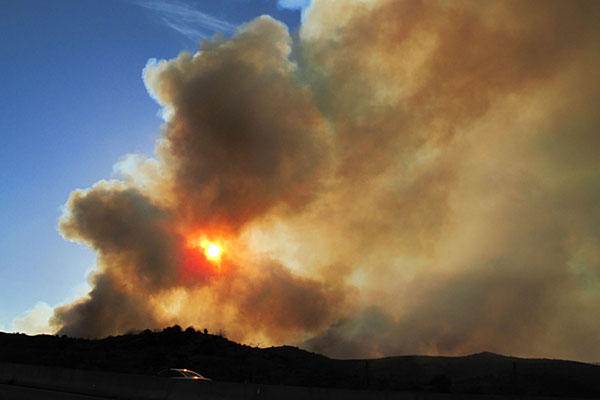 Fire Weather
 Heat
Heat Experimental Graphical HWO
 SPC Outlooks
 Hurricane Outlook
 Local Climate Charts
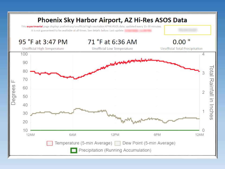 Hi-res KPHX ASOS Data