National Weather Service United States Department of Commerce
Welcome to the Fast Page
Routine Products
 
The Area Forecast Discussion (AFD) is a semi-technical product primarily used as a means to explain the scientific rationale behind a forecast and summarize watches, warnings and/or advisories in effect. This highly visible product is used to convey forecast and watch/warning/advisory information primarily to federal agencies, weather sensitive officials, and the media. The forecast insight provided in the AFD is beyond that which can be found in other NWS products.
The State Forecast Table (SFT) is a tabular seven-day forecast for selected locations across a state or a defined area.

A seven day forecast in tabular format using data taken from the NWS Digital Database. Some of the forecast parameters include: max and min temperature, wind speed, direction and character, cloud cover, sensible weather, POP and QPF forecasts, and dew point.
The Fire Weather Planning Forecast (FWF) is a zone-type product used by land management personnel primarily for input in decision-making related to pre-suppression and other planning. The decisions impact firefighter safety, protection of the public and property, and resource allocation. Weather parameters represent average conditions across the given zone unless otherwise stated in the local AOP.
The Maximum/Minimum Temperature and Precipitation Table (RTP) provides the maximum/minimum temperatures and precipitation totals for a sub-state region, an entire state, or a multi-state region. The RTP table is used by national centers and local media.
The Weather Roundup (RWR) provides routine, standardized hourly observations for a sub-state region, an entire state, or a multi-state region.
The Daily Climatological Report (CLI) provides climatological data for each day.
Non-Routine Products
 
Special Weather Statements (SPS) provide the public with information concerning ongoing or imminent weather hazards, occurring within 6 hours of product issuance, which may require a heightened level of awareness or action. The SPS may also be used to heighten the awareness of a major event forecast to occur beyond 6 hours.
The Public Information Statement (PNS) is an alphanumeric message used to distribute information regarding hydrometeorological events; public education; National Weather Service (NWS) service changes, limitations or interruptions; and special guidelines for interpreting NWS data. The PNS is used by a wide variety of users and partners such as the general public, emergency managers, and the media.
Preliminary Local Storm Reports provide the Storm Prediction Center (SPC), adjacent WFOs, the public, media and emergency managers with reported observations of hazardous weather events. Preliminary Local Storm Reports also serve as the primary basis for the official monthly publication Storm Data.
The RER contains meteorological and hydrological events that equal or exceed existing extreme records.
Hazards by Type
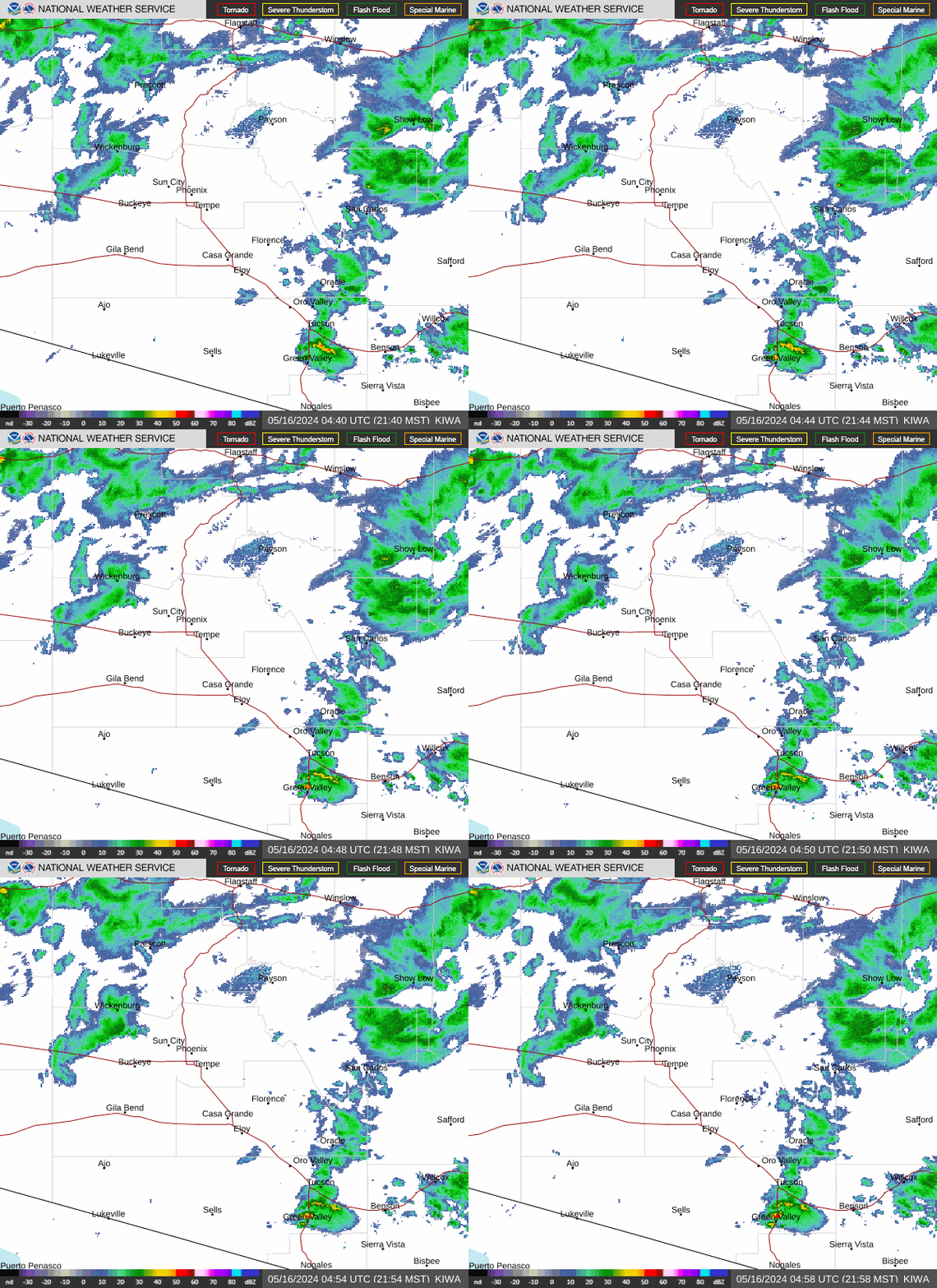
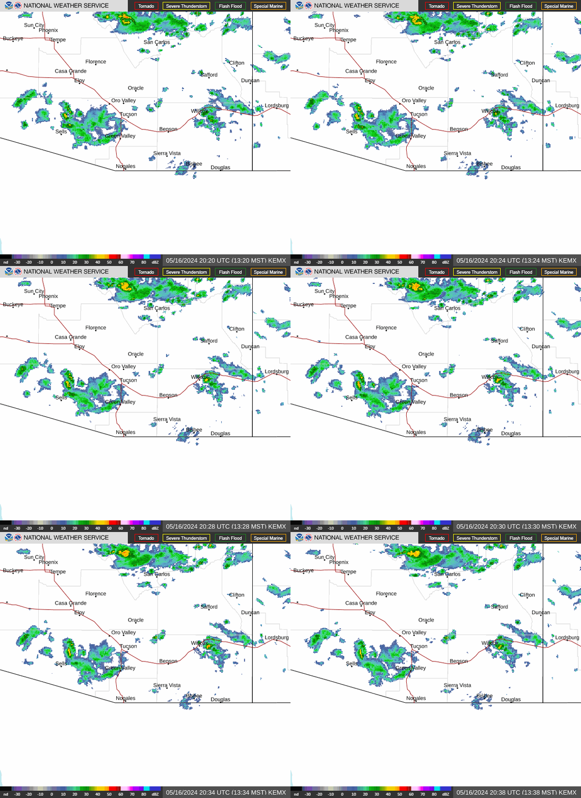
Local Radars IWA Radar YUX Radar EMX Radar FSX Radar
PhoenixYumaTucsonFlagstaff
Local Satellite More... Visible Satellite Infared Satellite Water Vapor Satellite
VisibleInfraredWater Vapor
Weather Maps & Outlooks Weather Map WPC Rain Forecast Forecasted Weather Map
Today's WeatherWPC ForecastsSPC Outlooks