HOME
FORECAST
Local
Graphical
Aviation
Marine
Rivers and Lakes
Hurricanes
Severe Weather
Fire Weather
Sunrise/Sunset
Long Range Forecasts
Climate Prediction
Space Weather
PAST WEATHER
Past Weather
Astronomical Data
Certified Weather Data
SAFETY
INFORMATION
Wireless Emergency Alerts
Weather-Ready Nation
Brochures
Cooperative Observers
Daily Briefing
Damage/Fatality/Injury Statistics
Forecast Models
GIS Data Portal
NOAA Weather Radio
Publications
SKYWARN Storm Spotters
StormReady
TsunamiReady
Service Change Notices
EDUCATION
NEWS
SEARCH
Search For
NWS
All NOAA
ABOUT
About NWS
Organization
For NWS Employees
National Centers
Careers
Contact Us
Glossary
Social Media
NWS Transformation
Local forecast by
"City, St" or ZIP code
Sorry, the location you searched for was not found. Please try another search.
Multiple locations were found. Please select one of the following:
Location Help
News Headlines
New Portland Drought Information Statement 07/14/2026
Customize Your
Weather.gov
Enter Your City, ST or ZIP Code
Remember Me
LOADING...
Portland, OR
Weather Forecast Office
Winter forecast information for counties in WFO PQR area
Weather.gov
>
Portland, OR
> Winter forecast information for counties in WFO PQR area
Current Hazards
Daily Briefing
Detailed Hazards
Current Outlooks
Submit Report
Tsunami Warnings
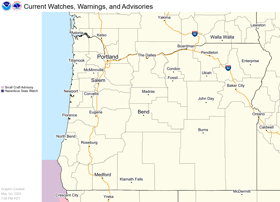
Watches & Warnings
Heat Risk
Experimental Graphical Hazardous Weather Outlook
Current Conditions
Observations
Satellite
Precipitation
Local Weather and Hourly Summaries
Upper Air Sounding Data
Air Quality
Radar
Local Enhanced Radar
Local Standard Radar (KLGX) (low bandwidth)
Local Standard Radar (KRTX) (low bandwidth)
Pacific Northwest (low bandwidth)
CONUS Standard Radar (low bandwidth)
Forecasts
Forecast Discussion
Travel
Experimental HeatRisk
Aviation Weather
Local Area
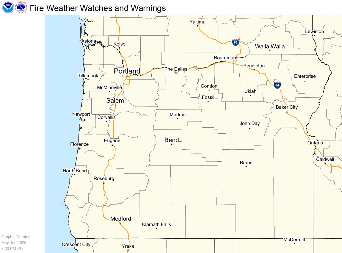
Fire Weather
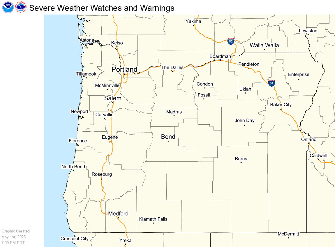
Severe Weather
Hurricane Center
Avalanche Weather
Coastal Marine
Graphical Forecasts
Experimental QPF Probability
Experimental Winter Probability
User Defined Weather
Model Data
Rivers and Lakes
National Water Prediction Service (NWPS)
Local River Observations (Map)
Water Supply Outlook
Ten Day Rainfall Outlook
Northwest River Forecast Center
Climate and Past Weather
Local
Drought
National
Climate Prediction Center
Climate Portal
CoCoRaHS
National Center for Environmental Information
Local Programs
Local Elevations
SkyWarn
CoCoRaHS
Hazard Thresholds
NWS Outreach and Office Tours
MaxT
MinT
Wind Gust
Wind Chill
Rainfall
Ice Accumulation
Snow Amount
WWA
SWO
Resources
IdssCounty Link Should go Here
Today
Tomorrow
Day 3
Day 4
Day 5
Day 6
Day 7
IdssCounty Link Should go Here
Today
Tomorrow
Day 3
Day 4
Day 5
Day 6
Day 7
IdssCounty Link Should go Here
Today
Tomorrow
Day 3
Day 4
Day 5
Day 6
Day 7
Today
Tomorrow
Day 3
Day 4
Day 5
Day 6
Day 7
Today Wind Chill
Tomorrow Wind Chill
Day 3 Wind Chill
Day 4 Wind Chill
Day 5 Wind Chill
Day 6 Wind Chill
Day 7 Wind Chill
Today
Tomorrow
Day 3
Day 4
Day 5
Day 6
Day 7
Today Rainfall
Tomorrow Rainfall
Day 3 Rainfall
Day 4 Rainfall
Day 5 Rainfall
Day 6 Rainfall
Day 7 Rainfall
Today
Tomorrow
Day 3
Day 4
Day 5
Day 6
Day 7
Today Ice Accumulation
Tomorrow Ice Accumulation
Day 3 Ice Accumulation
Day 4 Ice Accumulation
Day 5 Ice Accumulation
Day 6 Ice Accumulation
Day 7 Ice Accumulation
Today
Tomorrow
Day 3
Day 4
Day 5
Day 6
Day 7
WWA
Fire
Flood
Severe
Cold
Hot
Winter
Day 1
Day 2
Day 3
Resources
County IDSS Page
Experimental Graphical Hazardous Weather Outlook
NWS Heat Safety Tips and Resources
National Integrated Heat Health Information System
Homeland Security Extreme Heat Readiness Information
NWS What is the Heat Index?
NWS HeatRisk Prototype
CDC Heat & Health Tracker
CDC Tips for Preventing Heat-Related Illness
American Red Cross Heat Wave Safety
OSHA Heat Educational Resources
HRRR Near Surface Smoke Page
Week-2 Global Probabilistic Extremes Forecast Tool
Follow us on X
Follow us on Facebook
Follow us on YouTube
PQR RSS Feed