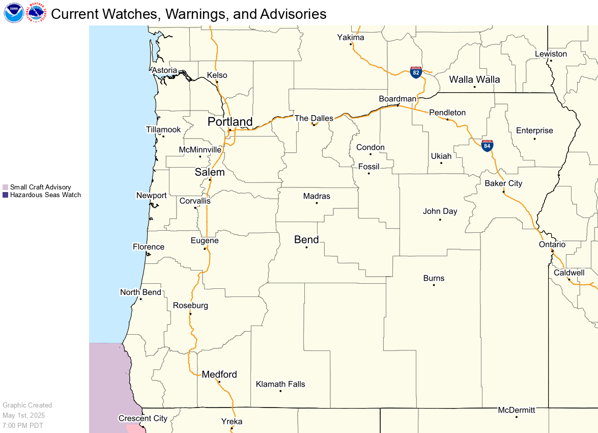
Severe thunderstorms capable of damaging winds will be possible from the Ozark Plateau east into the Tennessee Valley Saturday. Rounds of heavy thunderstorms ahead of a slow moving front will continue locally heavy rainfall and scattered flash flooding potential from the Ozarks to the Ohio and Tennessee Valleys Saturday. Extreme heat will continue for the Intermountain West and Plains. Read More >
| Category | Level | Meaning |
|---|---|---|
| Green | 0 | No Elevated Risk |
| Yellow | 1 | Low Risk for those extremely sensitive to heat, especially those without effective cooling and/or adequate hydration |
| Orange | 2 | Moderate Risk for those who are sensitive to heat, especially those without effective cooling and/or adequate hydration |
| Red | 3 | High Risk for much of the population, especially those who are heat sensitive and those without effective cooling and/or adequate hydration |
| Magenta | 4 | Very High Risk for entire population due to long duration heat, with little to no relief overnight |
|

|
|
|