Portland, OR
Weather Forecast Office
Red Flag Warnings remain in effect through Wednesday evening.
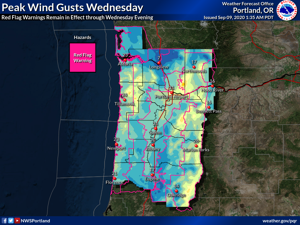
The worst of the winds are behind us, however, there is still plenty of wind to come Wednesday. Humidity remains low and this combination will challenge firefighting efforts through at least Wednesday evening.
Many areas have evacuation orders. Please minimize the risk to firefighters and follow those orders!
Also, conditions are still too dry to undertake activities at risk for generating sparks such as mowing lawns and fields, using chainsaws, and recreational fire of any kind. Please wait.
US Dept of Commerce
National Oceanic and Atmospheric Administration
National Weather Service
Portland, OR
5241 NE 122nd Avenue
Portland, OR 97230-1089
(503) 261-9246
Comments? Questions? Please Contact Us.

