A weather disturbance will support increasing coverage of storms across the state, especially through Thursday when a moist environment will allow for efficient, heavy rainfall with thunderstorms. As such, the probabilities for excessive rainfall leading to rapid onset flooding will increase. Friday appears more uncertain as the activity the day prior may influence conditions, but the risk of flooding rainfall remains for now.


 MRMS Radar Imagery
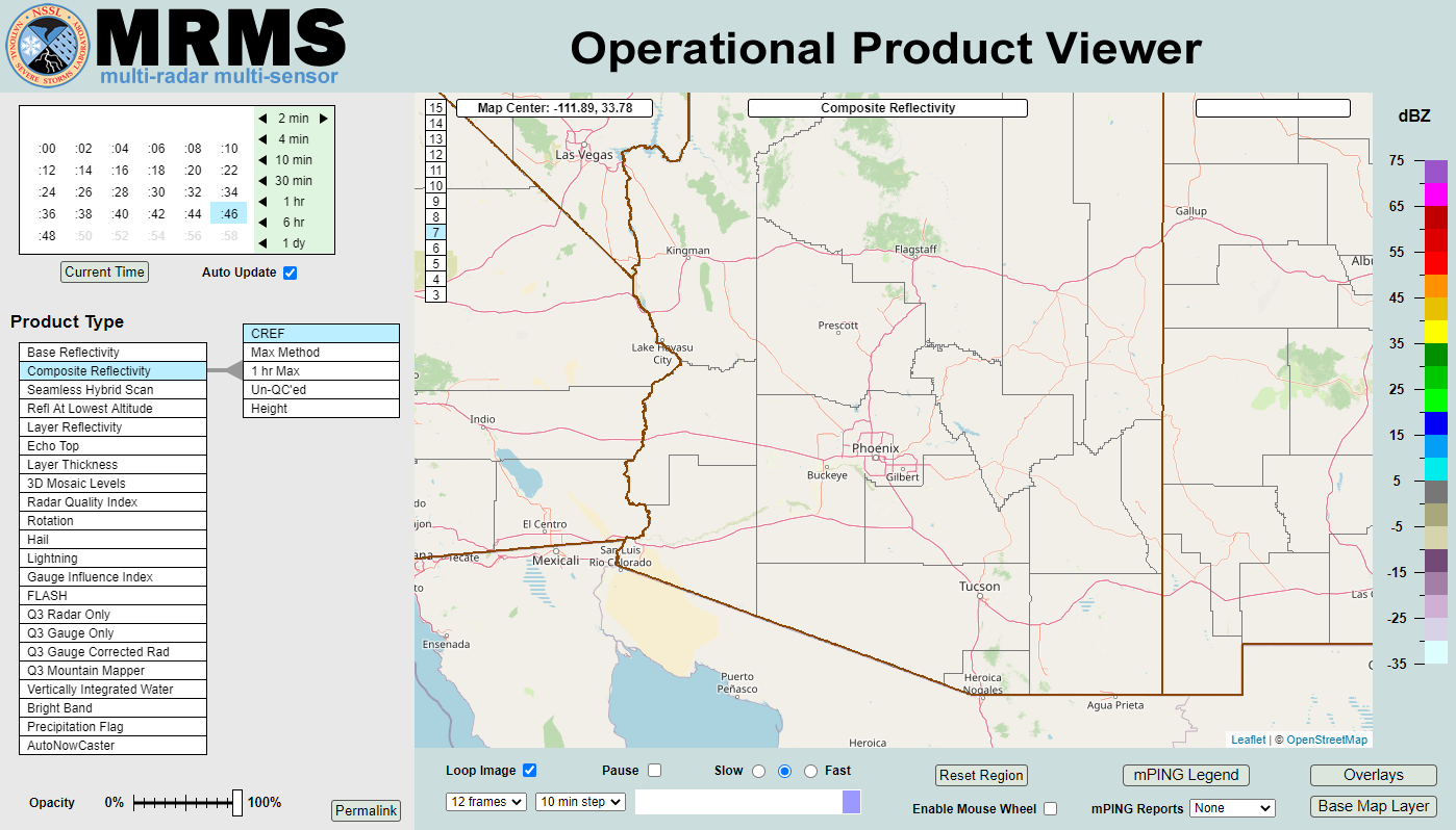
 Phoenix Radar
 Yuma Radar
 Regional Satellite
 GOES-19 Satellite
.PNG) Weather & Hazards Data Viewer
Weather & Hazards Data Viewer Forecast Discussion
 Fast Page
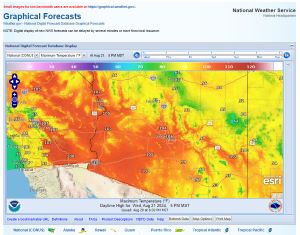 Local Graphical Forecast
 Drought Monitor
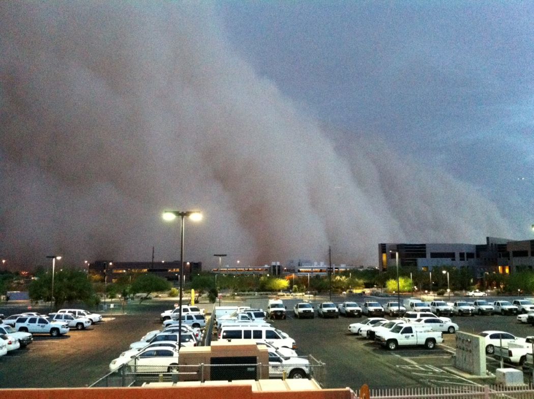 Monsoon Tracker
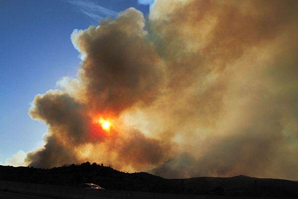 Fire Weather
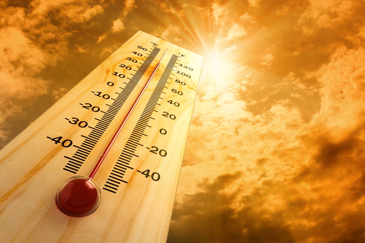 Heat
Heat Experimental Graphical HWO
 SPC Outlooks
 Hurricane Outlook
 Local Climate Charts
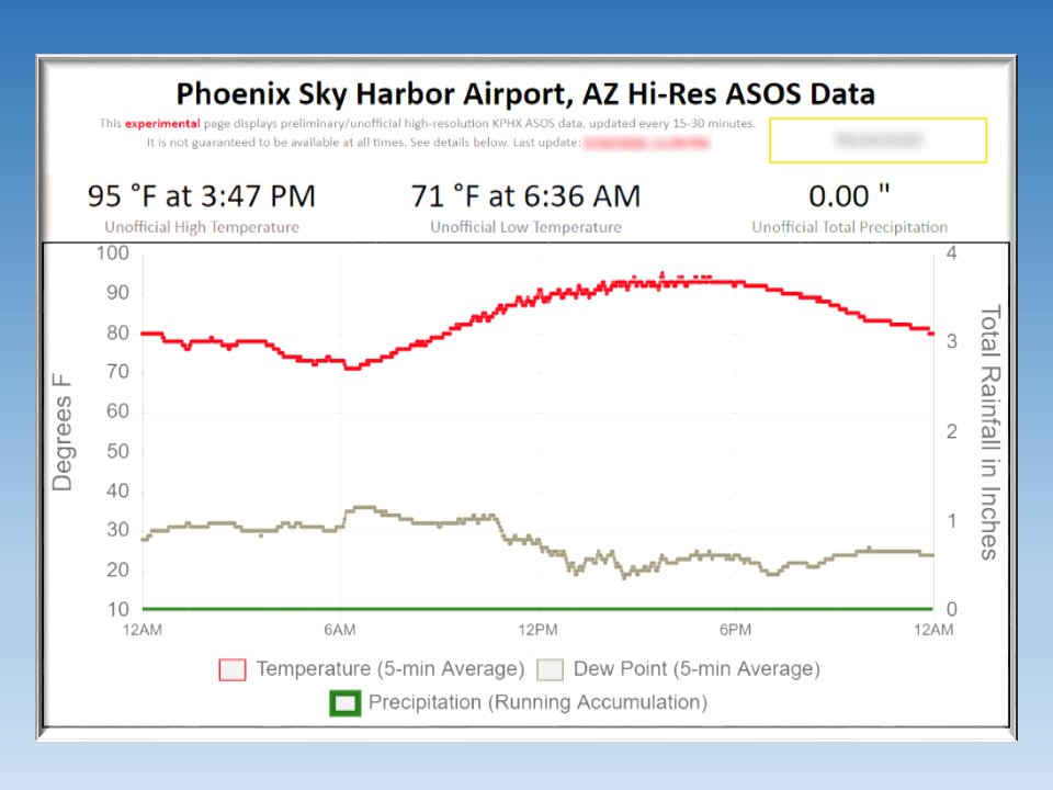 Hi-res KPHX ASOS Data