Hydrology
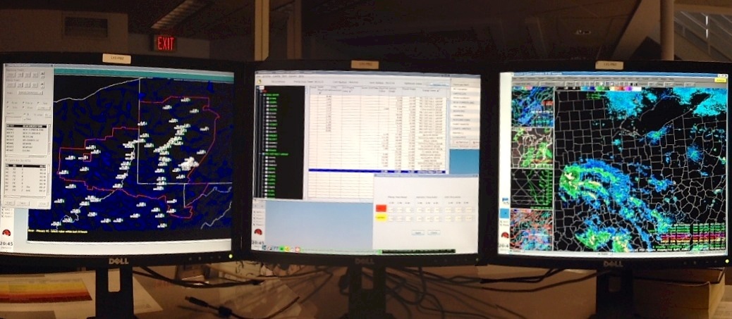
The Service Hydrologist serves as the hydrology program manager for the office. Pictured below is an AWIPS workstation setup to monitor hydrologic conditions. From this workstation, daily observations are collected, river stages are monitored, and river flood warnings and statements are issued, if needed. The data collected generally consists of river stages and forecasts, high/low temperatures, amount of rainfall (if any), and amount of snowfall, depth of snow, and snow water equivalent. Cooperative Observing sites are distributed throughout our area of responsibility. Most of these individuals are volunteers. These reports are sent to the Ohio River Forecast Center in Wilmington, OH. The hydrologists on duty use these reports along with reports from automated gages, to make river stage forecasts at predetermined forecast points on the area's larger rivers and streams. For more detailed information on our hydrology program, click here.
The meteorologists and the Service Hydrologist together monitor conditions on area rivers 24 hours a day. All forecasts, statements, watches and warnings are the responsibility of the local office. The AWIPS workstation has software for monitoring current hydrologic conditions and automated product preparation. The picture below is an example of the software used to monitor river stages throughout the local area.
Below is an example of a River Flood Warning created using software that accesses historical, current, and forecast hydrologic information to create the warning text.

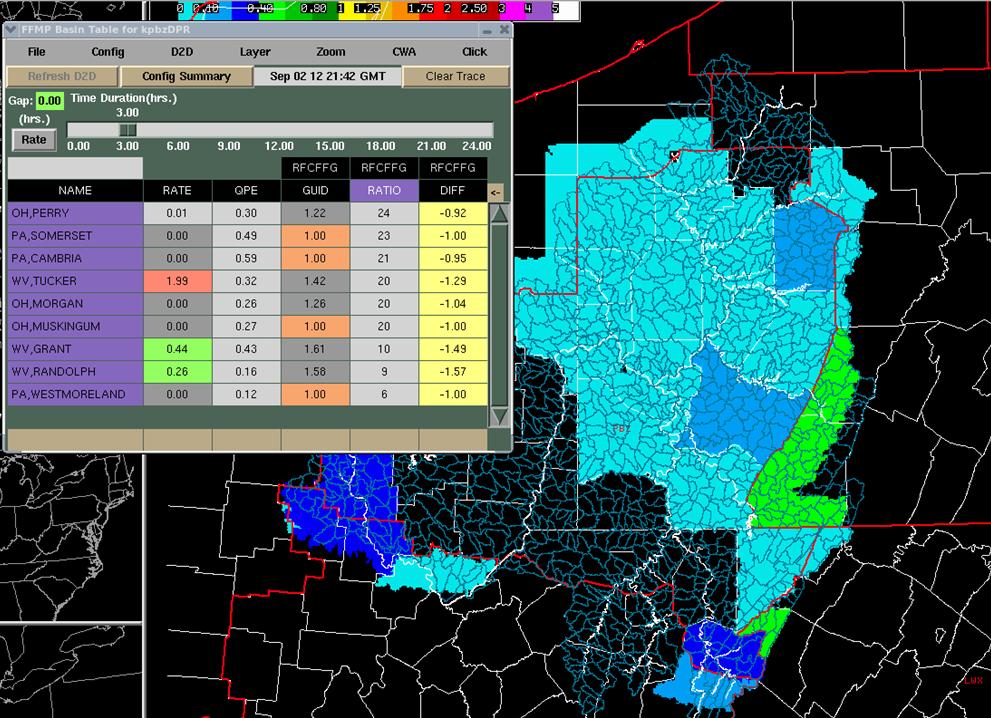
The potential for flooding on smaller ungaged streams is done using the Flash Flood Monitoring and Prediction (FFMP). FFMP monitors the radar estimated rainfall in over 10,000 stream basins every five minutes and accumulates the estimated rainfall in each basin for up to six hours. FFMP automatically compares the estimated rainfall to flash flood guidance (amount of rain needed to bring streams to bank full). When the flash flood value is exceeded, forecasters evaluate the situation and determine if it is necessary to issue a Flash Flood Warning. An example of the FFMP monitoring software is shown below.
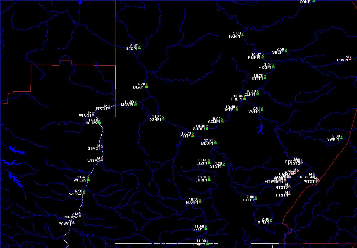
In addition to radar estimated rainfall, we also gather rainfall reports using the Integrated Flood Observing and Warning System (IFLOWS). It is comprised of a series of tele-metered, non-heated tipping bucket rain gages. (A tipping bucket rain gage can be described as two small measuring spoons, each calibrated to 0.04 inch of liquid precipitation, balanced on a divider like a see-saw. After 0.04 inch of rain is funneled in and fills one 'spoon', it tips, and the rainfall fills the other 'spoon'.) Rainfall measurements are tallied and sent via radio waves to sites with computer monitors, which includes interests in the land resource and emergency management communities as well as local NWS offices. Flash flood guidance is imported into the system, so rainfall accumulations can be compared to the guidance numbers to detect where flooding may occur. The values are also used to evaluate the accuracy of the radar estimated rainfall amounts in FFMP.

