
Excessive rainfall continues to produce life-threatening, locally catastrophic flash flooding along the central Gulf Coast. Isolated to scattered dry thunderstorms may cause lightning-ignited fires and erratic behavior due to gusty winds across parts Oregon, California, and the Great Basin into the weekend. Read More >

.png)


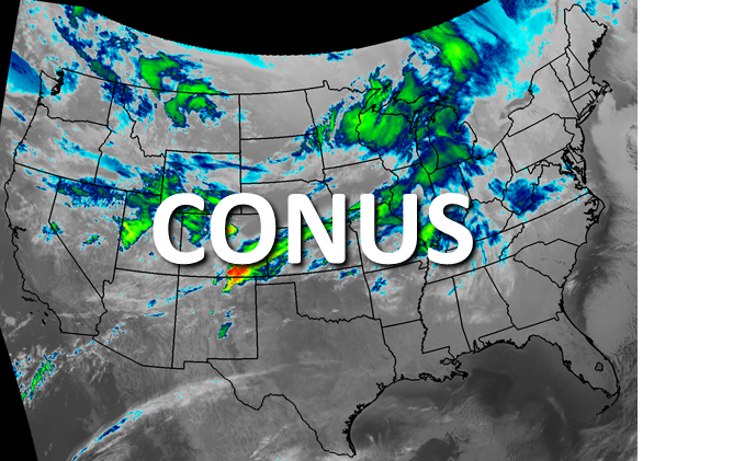


| GeoColor Channel | Pacific Northwest View | CONUS View | Full Disk View | |
 |
 |
 |
||
| GeoColor | Loop | Latest Image | Loop | Latest Image | Loop | Latest Image | |
| Visible Channels | Pacific Northwest View | CONUS View | Full Disk View | |
 |
 |
 |
||
| Visible Blue 0.47 μm (Band 1) | Loop | Latest Image | Loop | Latest Image | Loop | Latest Image | |
| Visible Red 0.64 μm (Band 2) | Loop | Latest Image | Loop | Latest Image | Loop | Latest Image | |
| Near Infrared (NIR) Channels | Pacific Northwest View | CONUS View | Full Disk View | |
 |
 |
 |
||
| Veggie NIR Channel 0.86 μm (Band 3) | Loop | Latest Image | Loop | Latest Image | Loop | Latest Image | |
| Cirrus NIR Channel 1.37 μm (Band 4) | Loop | Latest Image | Loop | Latest Image | Loop | Latest Image | |
| Snow/Ice NIR Channel 1.6 μm (Band 5) | Loop | Latest Image | Loop | Latest Image | ||
| Cloud Particle NIR Channel 2.2 μm (Band 6) | Loop | Latest Image | Loop | Latest Image | Loop | Latest Image | |
| Shortwave IR and Water Vapor Channels | Pacific Northwest View | CONUS View | Full Disk View | |
 |
 |
 |
||
| Shortwave IR Channel 3.9 μm (Band 7) | Loop | Latest Image | Loop | Latest Image | Loop | Latest Image | |
| Upper Level Water Vapor Channel 6.2 μm (Band 8) | Loop | Latest Image | Loop | Latest Image | Loop | Latest Image | |
| Mid Level Water Vapor Channel 6.9 μm (Band 9) | Loop | Latest Image | Loop | Latest Image | Loop | Latest Image | |
| Lower Level Water Vapor Channel 7.3 μm (Band 10) | Loop | Latest Image | Loop | Latest Image | Loop | Latest Image | |
| Infrared (IR) Channels | Pacific Northwest View | CONUS View | Full Disk View | |
.jpg) |
 |
 |
||
| Cloud Top IR Channel 8.4 μm (Band 11) | Loop | Latest Image | Loop | Latest Image | Loop | Latest Image | |
| Ozone IR Channel 9.6 μm (Band 12) | Loop | Latest Image | Loop | Latest Image | Loop | Latest Image | |
| Clean Longwave Window 10.3 μm (Band 13) | Loop | Latest Image | Loop | Latest Image | Loop | Latest Image | |
| Legacy Longwave Window 11.2 μm (Band 14) | Loop | Latest Image | Loop | Latest Image | Loop | Latest Image | |
| Dirty Longwave IR Window 12.3 μm (Band 15) | Loop | Latest Image | Loop | Latest Image | Loop | Latest Image | |
| Carbon Dioxide Longwave IR Window 13.3 μm (Band 16) | Loop | Latest Image | Loop | Latest Image | Loop | Latest Image | |

