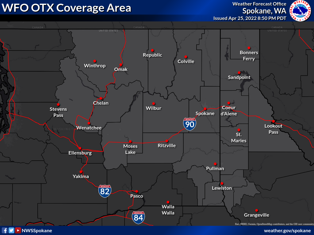
WFO OTX Weather Product Criteria
Switch to convective, hydrologic, and air-quality products
-- Winter Storm:
| |
Winter Storm Watch/Warning |
-- Freezing Rain:
-- Blizzard:
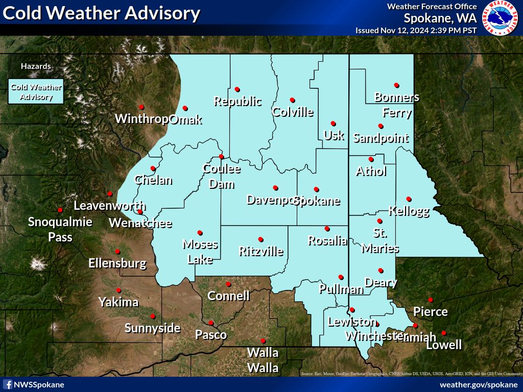
-- Cold Weather:
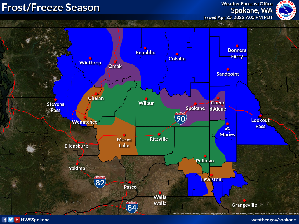
-- Frost/Freeze:
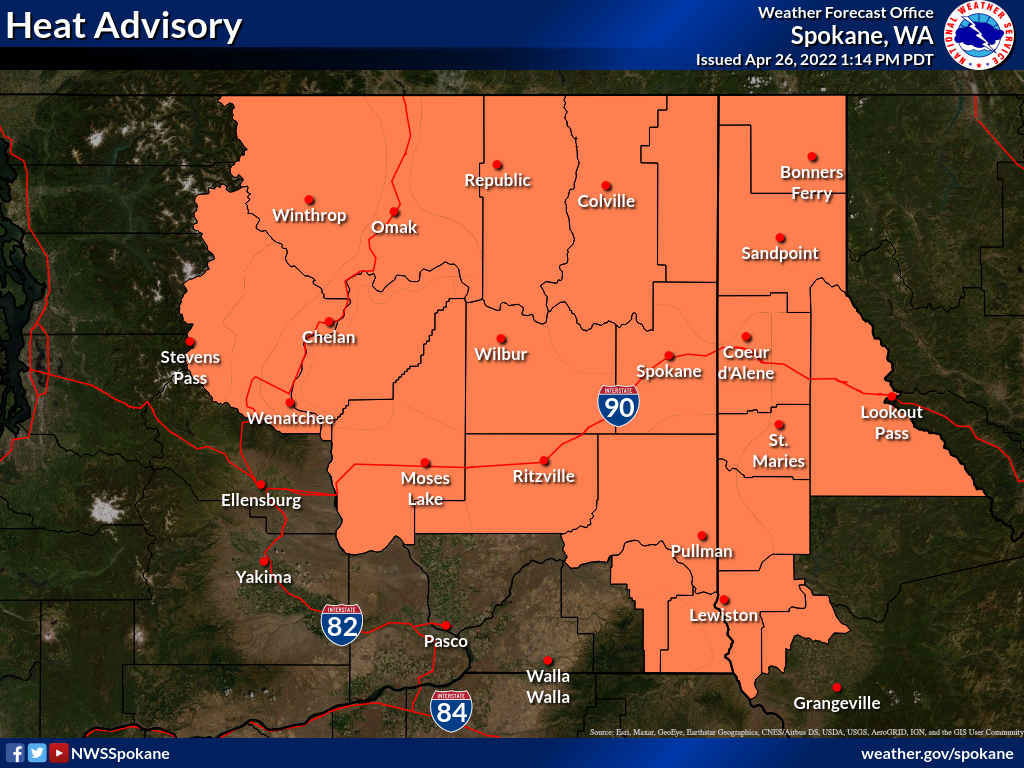
-- Heat:
| |
Excessive Heat Watch/Warning |
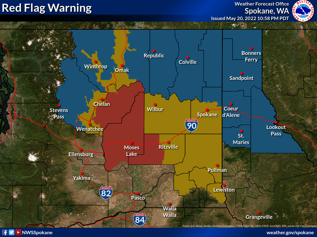
-- Fire Weather:
| |
Fire Weather Watch /
Red Flag Warning |
|
NWS Spokane
 Mouse over on the product on the left side
to see the criteria for issuance
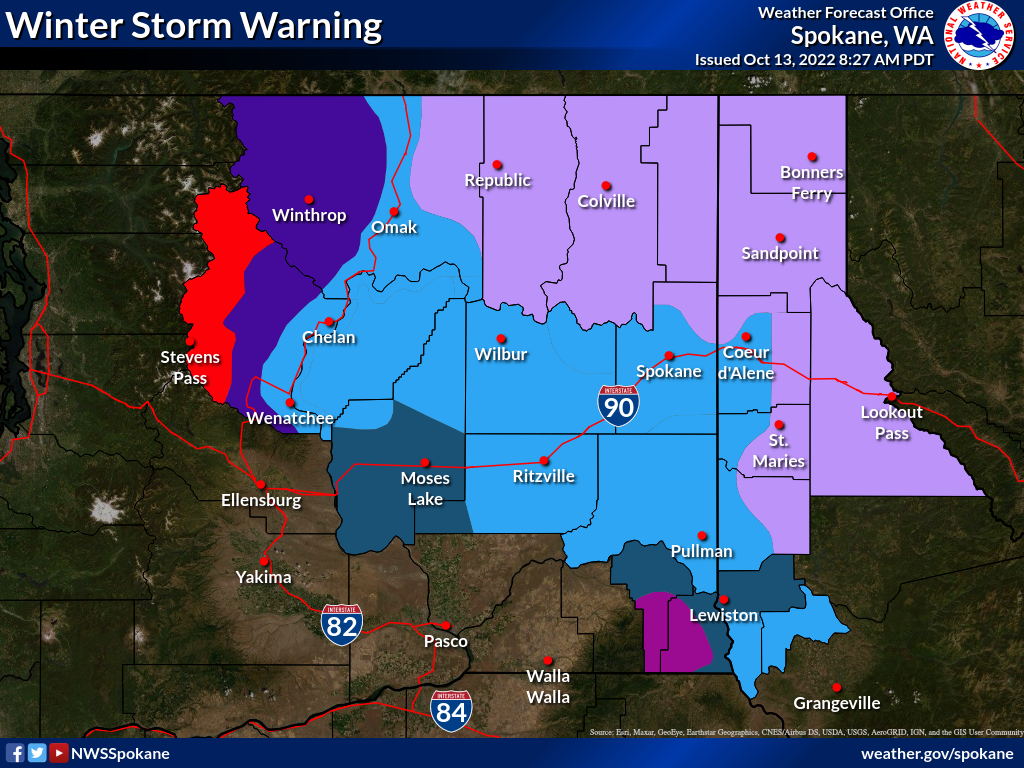
Winter Storm Warning
 Criteria:
| |
4 inches of snow or sleet during an event |
| |
6 inches of snow or sleet during an event |
| |
6 inches of snow or sleet below 3000 feet or...
8 inches of snow or sleet above 3000 feet during an event |
| |
8 inches of snow or sleet during an event |
| |
10 inches of snow or sleet during an event |
| |
12 inches of snow or sleet during an event |
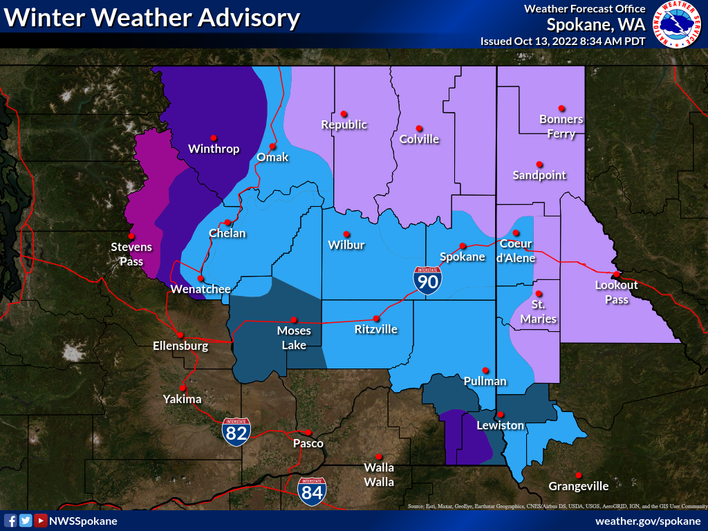
Winter Weather Advisory
 Criteria:
| |
2 inches of snow or sleet or ice accumulations up to 0.25 inch during an event |
| |
3 inches of snow or sleet or ice accumulations up to 0.25 inch during an event |
| |
3 inches of snow or sleet below 3000 feet or...
5 inches of snow or sleet above 3000 feet or...
ice accumulations up to 0.25 inch anywhere during an event |
| |
5 inches of snow or sleet or ice accumulations up to 0.25 inch during an event |
| |
6 inches of snow or sleet or ice accumulations up to 0.25 inch during an event |
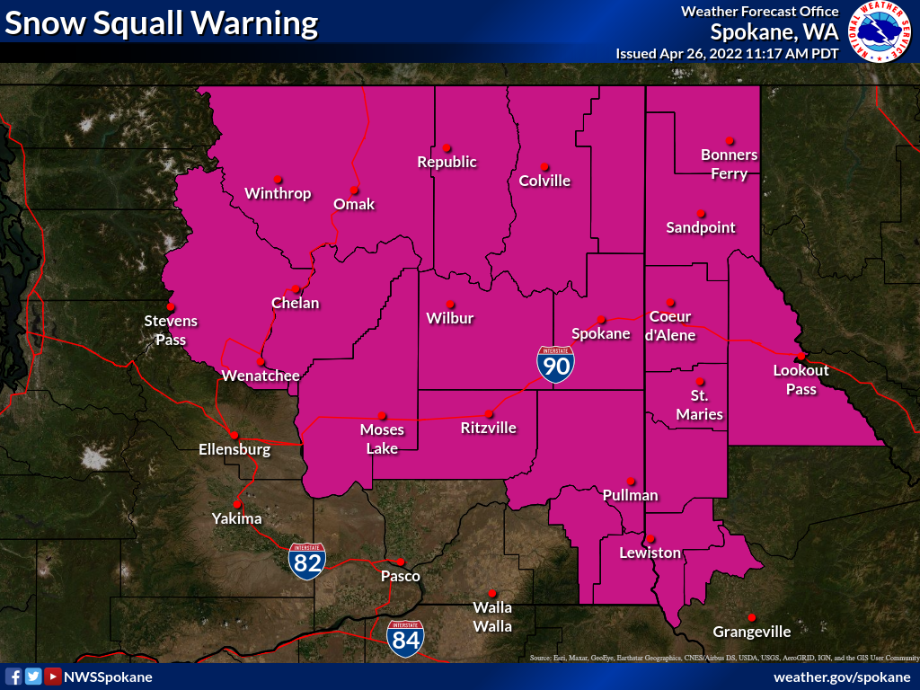
Snow Squall Warning
 Criteria:
| |
Snow Squall Warnings are issued for intense but limited duration periods of moderate to heavy snowfall accompanied by gusty surface winds and resulting in greatly reduced visibilities and whiteout conditions. |
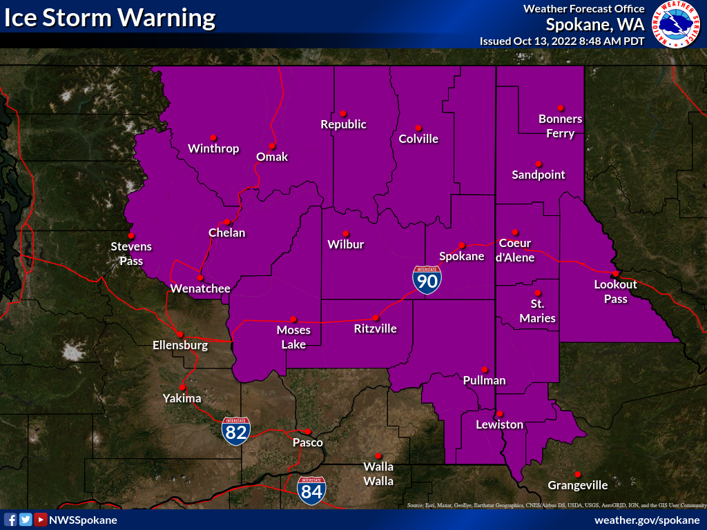
Ice Storm Warning
 Criteria:
| |
Ice accumulation of 0.25 inch (planar) or greater in 24 hours |
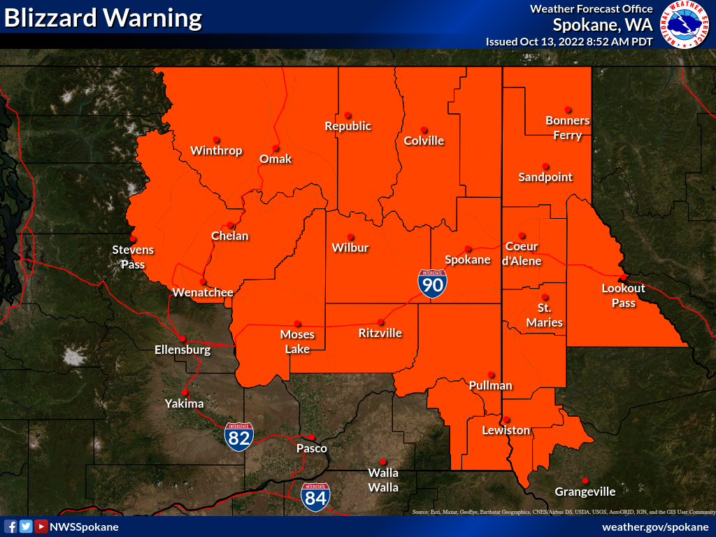
Blizzard Warning
 Criteria:
| |
Sustained winds or frequent gusts to 35 mph or greater
...and...
falling and/or blowing snow
...and...
visibility reduced to 1/4 mile or less for at least 3 hours |
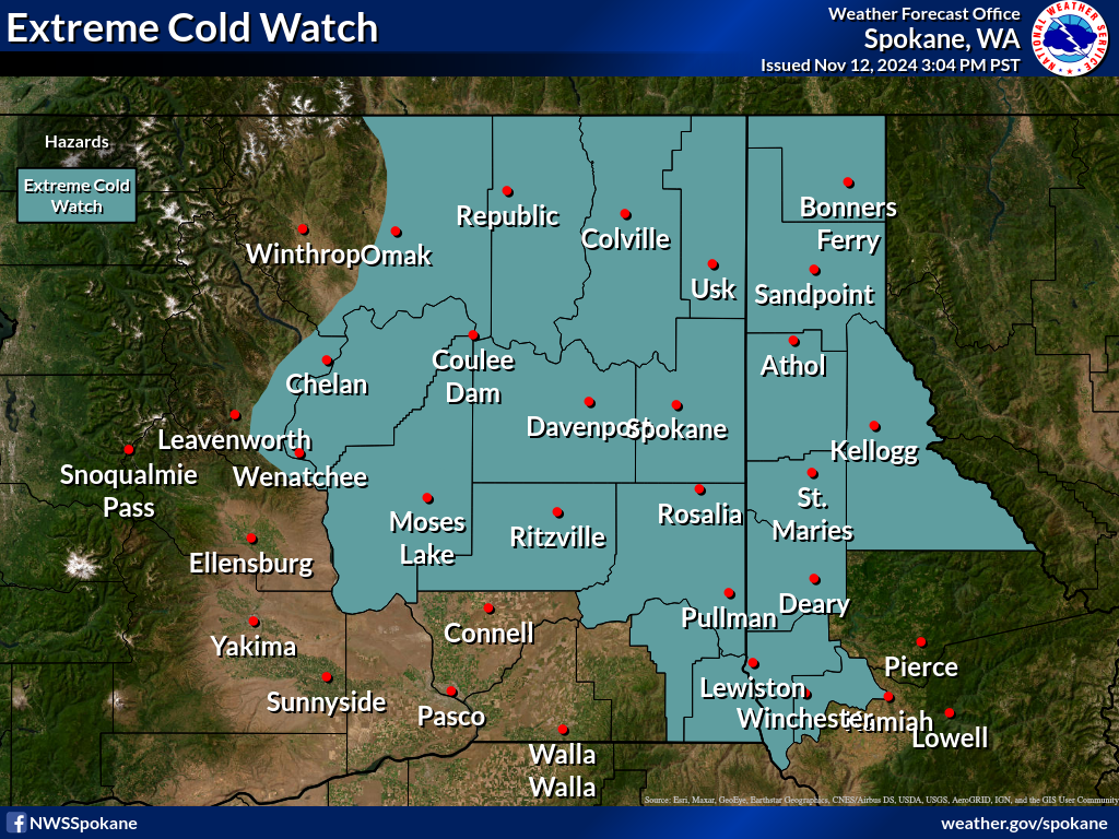
Extreme Cold Watch
 Criteria:
| |
Temperature and/or Wind chills at or below -20°F are expected to occur soon. |
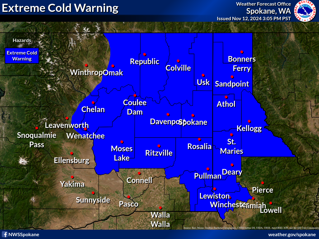
Extreme Cold Warning
 Criteria:
| |
Temperature and/or Wind chills at or below -20°F will continue to occur. |
Cold Weather Advisory
 Criteria:
| |
Temperatures and/or Wind chills between -10 and -20°F will continue to occur. |
Excessive Heat Watch/Warning
 Criteria:
| |
An Excessive Heat Watch is issued when the Heat Risk has the potential to reach a Level 3 or 4 based on the National Weather Service's HeatRisk scale (below). The HeatRisk scale is a ranges from 0-4 and indicates the level of heat concern for a location. HeatRisk takes into account: how significantly above normal the temperatures are at a location, the time of the year (for example, is this early season heat that you likely haven't become used to, or late season heat that you have become more used to), the duration of unusual heat (for example, are temperatures overnight at levels that would lower heat stress, or will warm overnight low temperatures continue to add to heat stress into the next day), and if those temperatures are at levels that pose an elevated risk for heat complications, such as heat stress, based on peer reviewed science. |
| |
.PNG) |
Heat Advisory
 Criteria:
| |
A Heat Advisory is issued when the Heat Risk reaches a Level 2 based on the National Weather Service's HeatRisk scale (below). The HeatRisk scale is a ranges from 0-4 and indicates the level of heat concern for a location. HeatRisk takes into account: how significantly above normal the temperatures are at a location, the time of the year (for example, is this early season heat that you likely haven't become used to, or late season heat that you have become more used to), the duration of unusual heat (for example, are temperatures overnight at levels that would lower heat stress, or will warm overnight low temperatures continue to add to heat stress into the next day), and if those temperatures are at levels that pose an elevated risk for heat complications, such as heat stress, based on peer reviewed science. |
| |
.PNG) |
Frost/Freeze Season
 Criteria: Temperatures at or below freezing during the period indicated.
| |
May 15 to September 15 |
| |
May 15 to September 30 |
| |
May 1 to September 30 |
| |
April 15 to October 15 |
Red Flag Warning / Fire Weather Watch
 Starting meteorological criteria:
| |
Relative humidity of 25% or less
...and...
Wind Speed of 15 mph or greater |
| |
Relative humidity of 20% or less
...and...
Wind Speed of 15 mph or greater |
| |
Relative humidity of 15% or less
...and...
Wind Speed of 15 mph or greater |
| |
Flexibility in criteria is considered in situations with exceptionally dry fuels and/or in situations with unusually hot/dry conditions and/or in cases in which the potential for dry lightning is elevated and/or in cases when fires are already present (among other possibilities). |
|
