New York, NY
Weather Forecast Office
New Polygon-Based River Flood Warnings
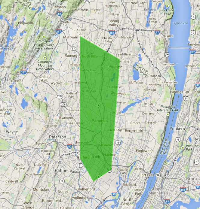
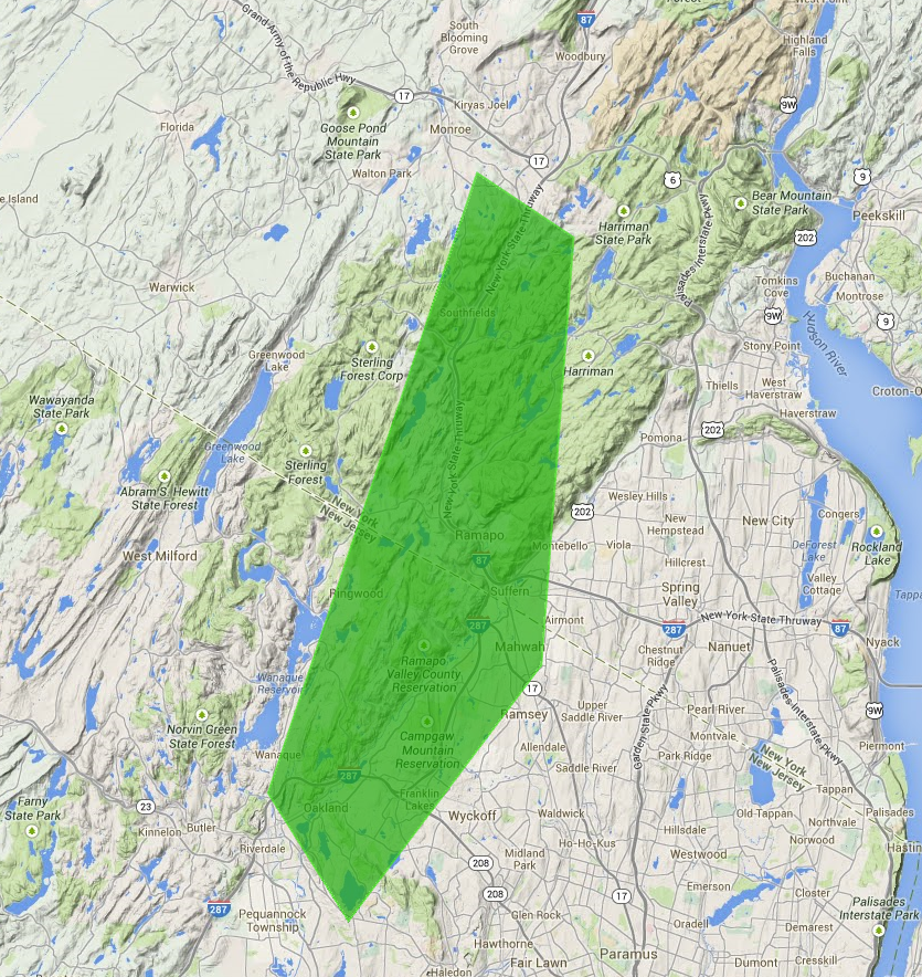
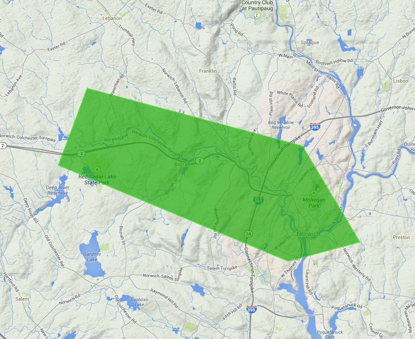
On June 16, 2014, The National Weather Service Forecast Office New York, NY began issuing polygon-based river flood warnings and statements for six river forecast points across the hydrologic service area. Using the new polygon warning method reduces the warned area by a significant amount compared to the county-based river flooding warning. This change in warning methodology aligns river flood products with other polygon-based warning products, and will be displayed on the Watch/Warning/Advisory Map on our home page. The following are examples of the new polygons for each of our six river forecast points.
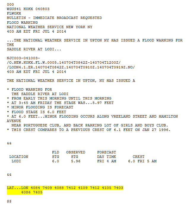
The only change to the warning text product will be the addition of lattitude/longitude pairs, which produce the warning polygons, after the last ampersands (&&). There are no changes to the VTEC (header). The following is an example for the Saddle River at Lodi.
 |
Climate/Past Weather
Local Past Weather
Recent and Past Rainfall
Local Normals, Extremes and Records
Tropical Cyclone Reports
Current Conditions
Observations (List)
Observations (Map)
Marine Obs (Map)
Local Storm Report
Public Information Statement
Office Programs
Air Quality
Aviation Weather
Coastal Flooding
Co-op Observers
Fire Weather
Heat
Hydrology/Freshwater Flooding
Marine Weather
Outreach
Severe Weather
SKYWARN
Tropical Weather
Tsunami
Winter Weather
Upper Air
Weather Safety/Preparedness
Weather Ready Nation
Storm Ready
NOAA Weather Radio
Pubs/Brochures/Booklets
More Safety Links
US Dept of Commerce
National Oceanic and Atmospheric Administration
National Weather Service
New York, NY
175 Brookhaven Avenue
Upton, NY 11973
631-924-0517
Comments? Questions? Please Contact Us.


 Coastal Flooding