.png) |
|
Weather101 is a series of FREE interactive online classes to help the public learn about meteorology, forecasting and the National Weather Service in general. These classes will explore the concepts formally found in what was our Advanced SKYWARN spotter classes, plus MORE!
Individuals or groups will be able to complete the courses in the comfort of their own home using the extremely user-friendly computer program, Go-To Meeting. The only requirement will be speakers to listen, if you're using a computer. If you want to ask questions, you will need to have a VOIP microphone (this is not a requirement).
Each class can be viewed on a Mac or PC, as well as on your iPad, iPhone or Android device by simply downloading the FREE Go-To-Webinar app in the app store on your device (you'll need the Webinar ID number supplied in the registration email).
To sign up for one of our online classes, simply click on the link beside the date/time you want to attend below, fill out the form and we will forward you a link to register on the Go-To Meeting website. Register, download the FREE software, and BAM! You can attend the one hour online class. Remember, if you're using the Go-To Meeting app on your iPad, iPhone or Android device, your Webinar ID number will be included in your registration email.
|
|
|
Date
|
Time (CT)
|
Class Title
|
Register
|
|
|
|
THANK YOU for an incredibly successful season! See you in October!
|
|
Classes are FREE & for ALL AGES!
All classes will run approximately 1 hour with a question and answer segment
No prior training is necessary, but registration is required
NOTE: Classes may be canceled with short notice due to severe weather! |
|
Here's an overview of the topics in each class:
|
|
Fire Weather
- RH and Winds
- What is a Red Flag Warning?
- Why do we do a fire weather forecast?
|
|
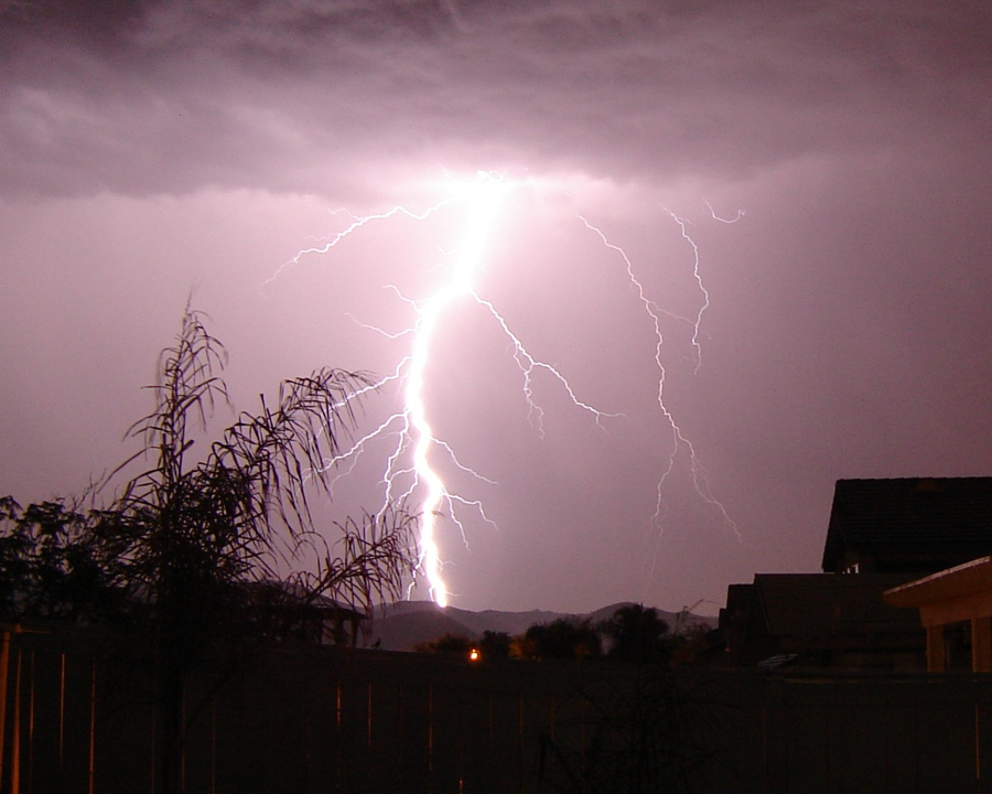
Lightning
- How does it form?
- How deadly is it?
- Where does it occur most often?
|
|
|
Using Artificial Intelligence in Convective Outlooks
- Simplifying Machine Learning
- Machine Learning and Severe Weather Forecasting
- Event Analysis of SPC forecast vs Machine Learning
|
|
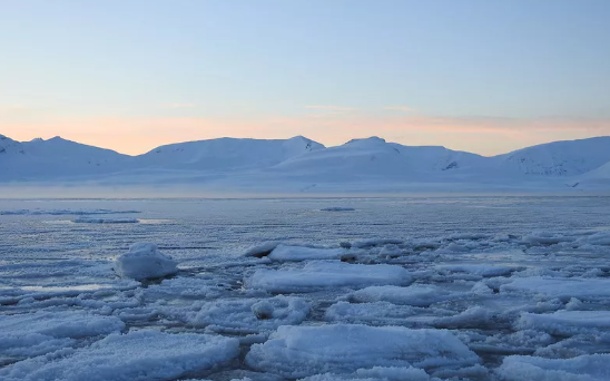
River Ice
- What is River Ice?
- How does river ice breakdown?
- How do we forecast it?
|
|
|
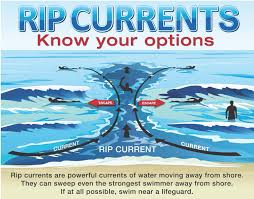
Rip Currents
- What is a rip current?
- How does it form?
- How do you escape one?
|

|
Tsunamis
- What is a Tsunami?
- Tsunami vs Tidal Wave
- How are they forecast?
|
|

|
North American Monsoon
- What is a monsoon?
- What is a haboob?
- Where do these occur?
|
|
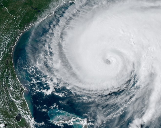
Hurricanes
- Hazards from hurricanes
- Saffir-Simpson Scale
- More tropical information
|
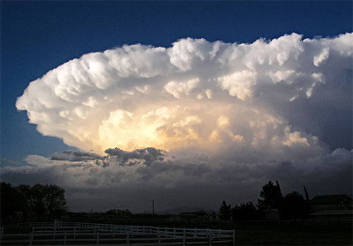 |
Severe Thunderstorms:
What is needed?
- Instability
- Wind Shear
- Lift
|
 |
The Basics
- Who is the NWS?
- What causes the weather?
- What are some weather hazards?
|
|
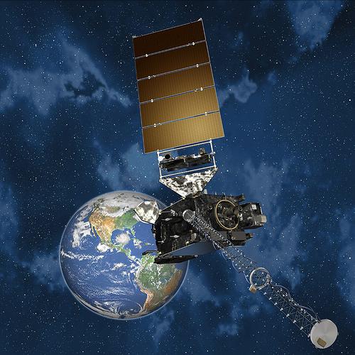
Satellites
- GOES 16 - 18
- Satellite Channels
- How do they help the NWS?
|
 |
Flash Flooding: The Forgotten Element of Severe Weather
- Meteorological Causes of Flash Flooding
- River flooding
- Breakdown of NWS Flood products
|
|
|
Observations in 3-Dimensions:
METARs and Upper Air Patterns
- METAR breakdown and how they are used
- Weather analysis maps:
cold/warm fronts
- Upper air patterns and their interactions with surface patterns
|
 |
The Radar
- A quick explanation of Doppler
- Reflectivity versus velocity
- Dual Pol products
|
|
|
Upper Air Soundings:
What do they mean?
- Explain the Upper Air process
- Breakdown of several typically used parameters
- Hodographs
|
 |
Quasi-Linear Convective Systems (QLCSs):
The Squall Line
- What they are, what they aren't
- How do they form?
- Why do they give The South fits?
|
|
|
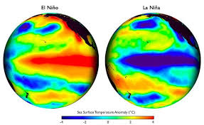
Global Circulations
- What is a El Nino?
- What is a La Nina?
- What other global circulations affect weather patterns?
|
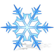 |
Winter Weather
- How do we forecast snow?
- Snow vs Ice
- Winter weather impacts
|
|
|
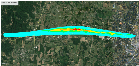
NWS Damage Surveys
- What are they?
- Why do we do them?
- The Enhanced Fujita Scale
|
|
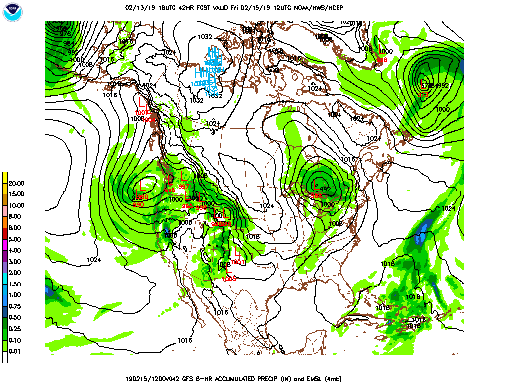
Forecast Models
- How do they work?
- Types of weather models
- How we use them in forecasting
|

