Nashville, TN
Weather Forecast Office
| January 6, 2017 Snow | |
|
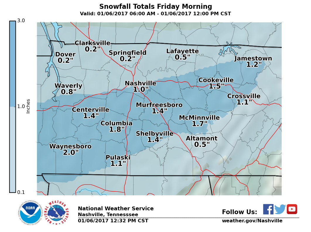
An upper-level disturbance approaching from the west encountered an arctic air mass in place across Tennessee, resulting in light snowfall that spread into the mid-state during the very early morning hours on January 6. The highest snowfall totals generally occurred south and west of the I-40 and I-65 corridors, but light snow accumulations were reported across most of Middle Tennessee. Reports as of 12 PM CT |

Drone view of the snow in Murfreesboro (photo by Influence Direct Inc.)

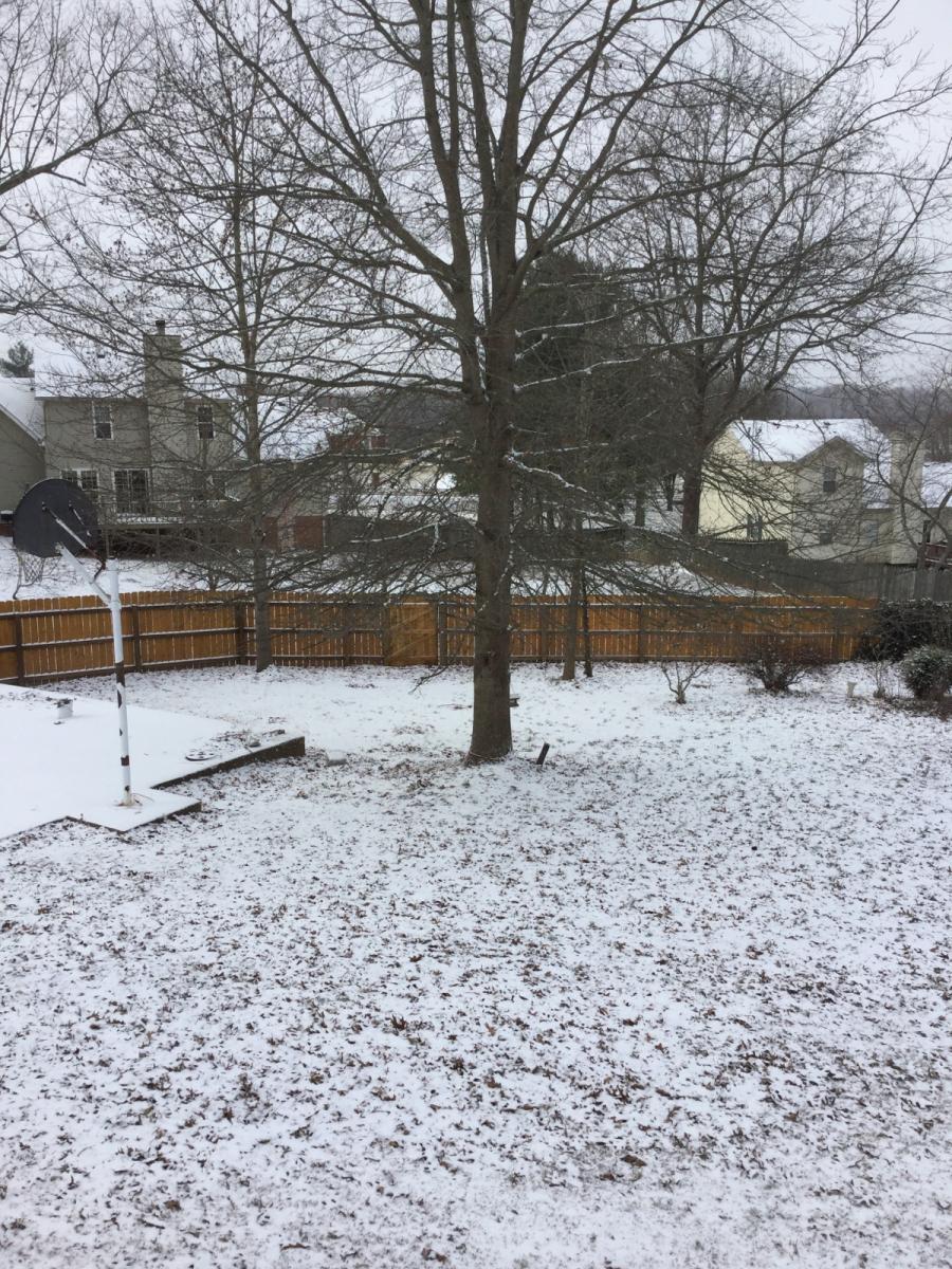
Winter Wonderland in Nashville (photo by Christine Malone)

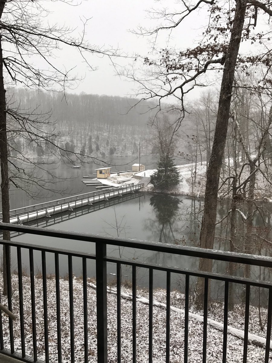
Peace and quiet at Montgomery Bell State Park (photo by jmay11)

Bradyville, TN (photo by Alycia Mann)

Hohenwald, TN (photo by Kim Patterson)

Bradyville, TN (photo by Kathy Skoog)
.jpg)
0.5 inches of snow at NWS Nashville
0.5 inches of snow in White House (photo by Collin Massie)
US Dept of Commerce
National Oceanic and Atmospheric Administration
National Weather Service
Nashville, TN
500 Weather Station Road
Old Hickory, TN 37138
615-754-8500
Comments? Questions? Please Contact Us.


