Nashville, TN
Weather Forecast Office
| January 24, 2010 Robertson County Tornado |
 |
| Reports & Outlooks | |||
| SPC Storm Reports | SPC Event Archive | Local Storm Reports | Public Information Statement |
| EF0 Robertson County Tornado | |
| Counties: | Robertson |
| Time: | 340 PM |
| Rating / Wind Speed Estimate: | EF0 / 85 MPH |
| Damage Path Length: | 3.6 miles |
| Damage Path Width: | 50 yards |
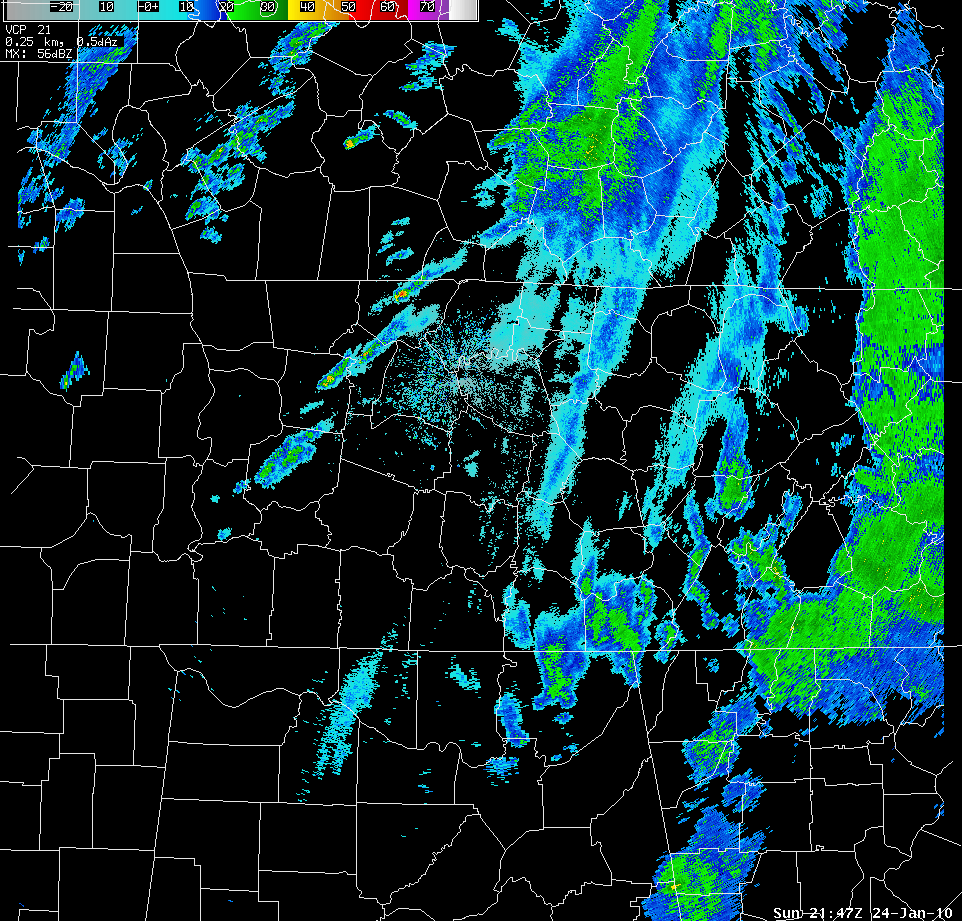
| Description: As a storm system moved west to east across Middle Tennessee on January 24, 2010, a large area of showers with embedded thunderstorms developed which produced hail, flash flooding across the Cumberland Plateau Region, and a weak tornado in Robertson County. A tornado touched down on the South Central Growers Greenhouse near the Springfield-Robertson County Airport and Highway 41. The tornado then continued on a 3.6 mile path northeast. The last evidence of damage was at a residence just off of Barren Plains Road, also know as State Highway 25. The greenhouse roof was damaged near the beginning of the damage path. The most significant damage was near State Highway 25 where the roof of a barn was ripped off and a small shed was destroyed. A few trees were also snapped at the residence. Some farm equipment was also damaged. Very little damage was noted with the mobile home. This was the first recorded January tornado in Robertson County in more than ten years. View the damage survey Google Earth kml map here. |
|
Radar Imagery:  |
|
US Dept of Commerce
National Oceanic and Atmospheric Administration
National Weather Service
Nashville, TN
500 Weather Station Road
Old Hickory, TN 37138
615-754-8500
Comments? Questions? Please Contact Us.

