Nashville, TN
Weather Forecast Office
| April 3, 2007 EF1 Cumberland County Tornado | |
| Counties: | Cumberland |
| Time: | 8:07 PM CST |
| EF Scale: | EF1 |
| Damage Path Length: | 6.75 miles |
| Damage Path Width: | 100 yards |
| Fatalities: | 0 |
| Injuries | 0 |
|
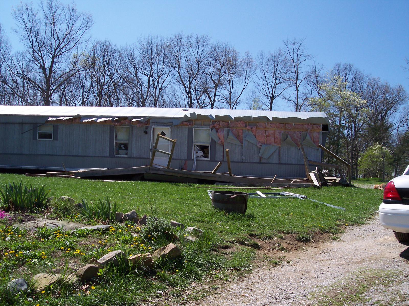
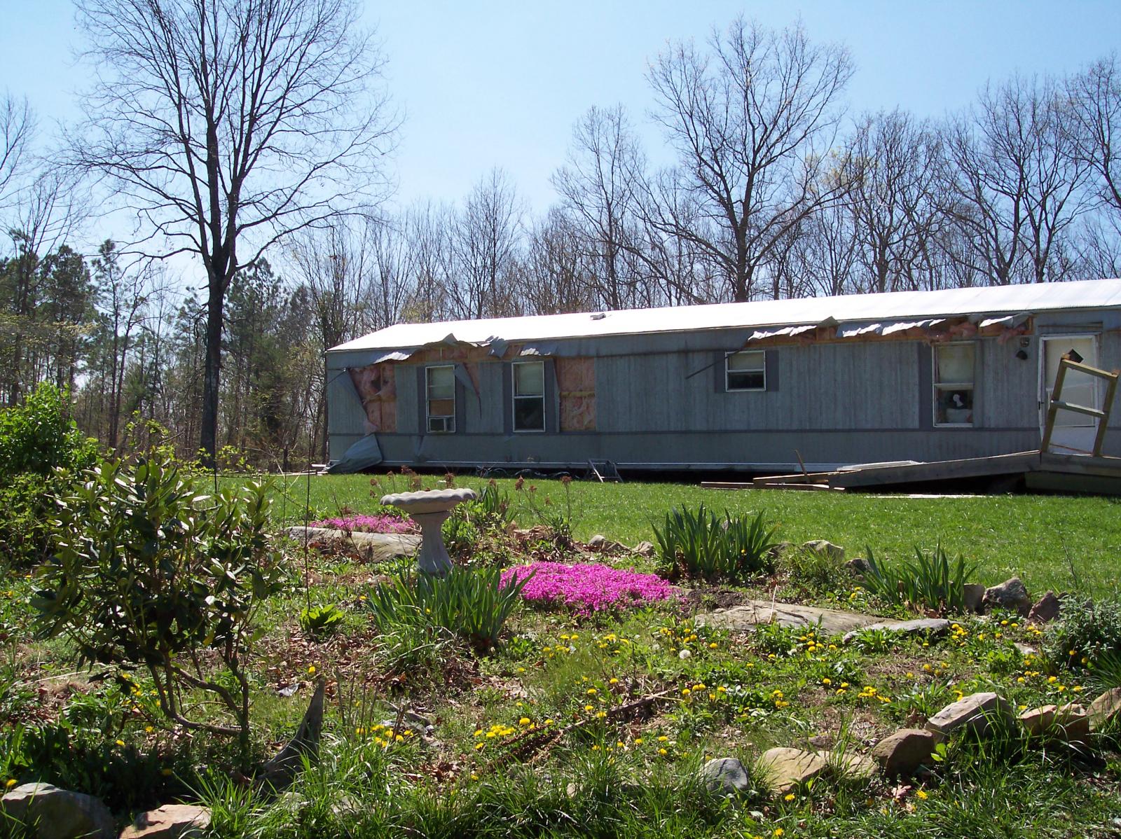
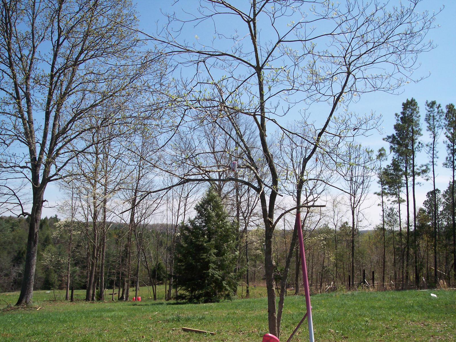
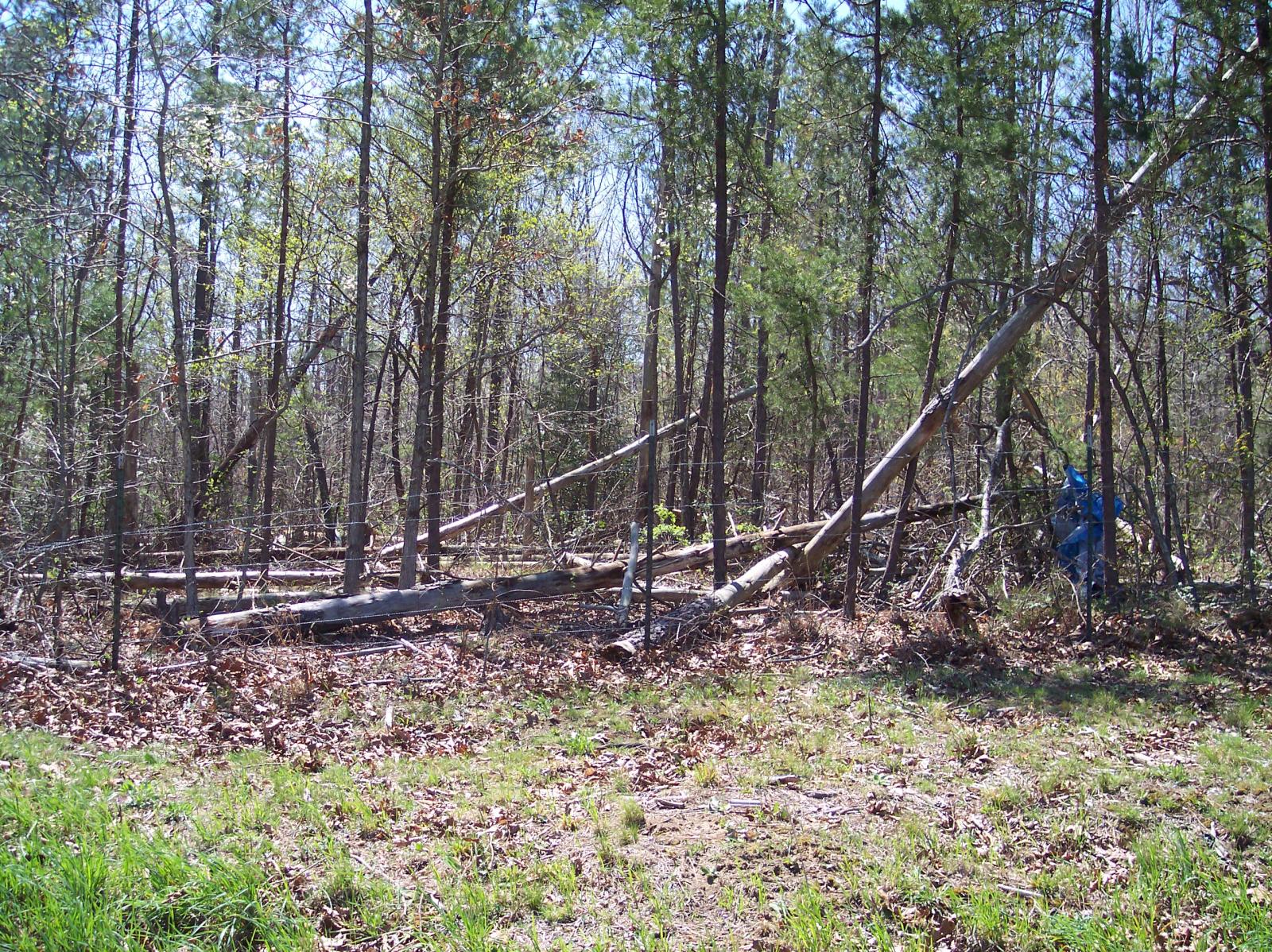
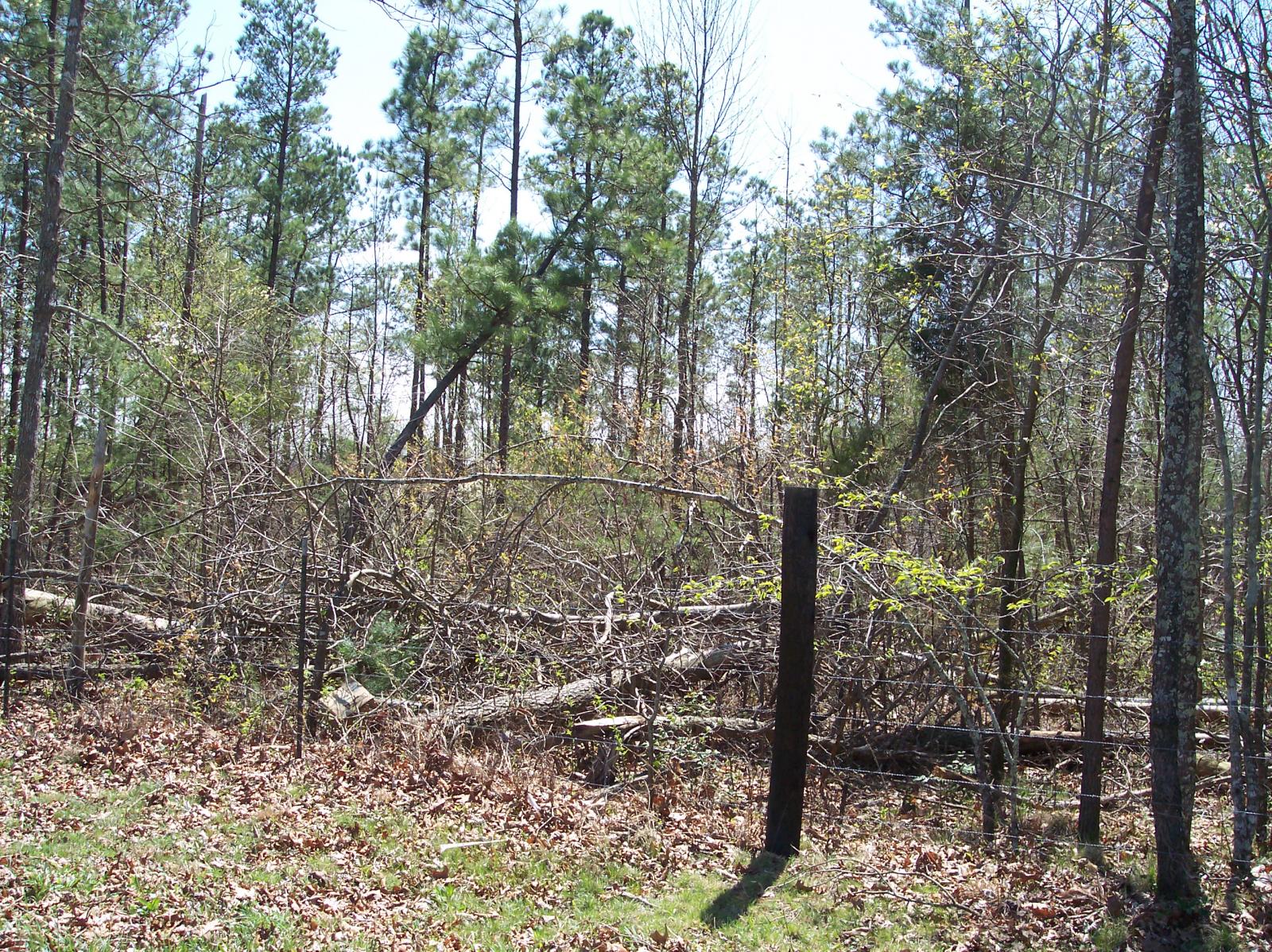
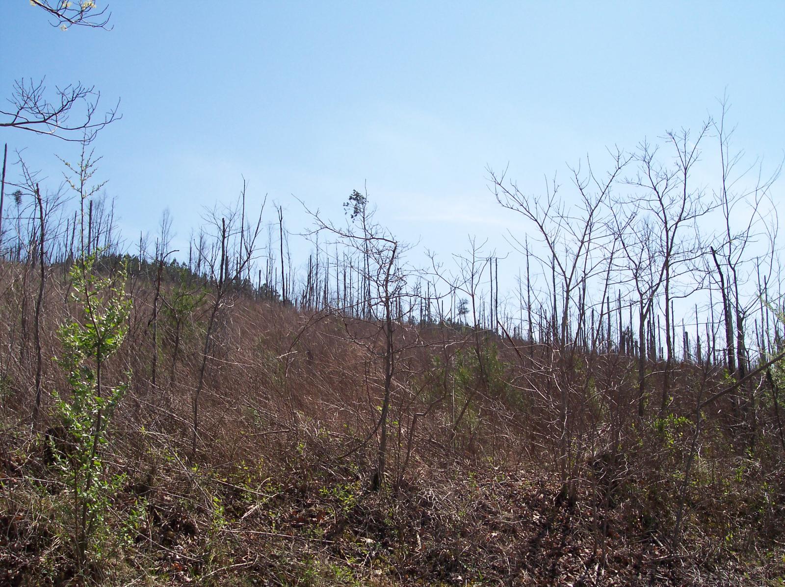
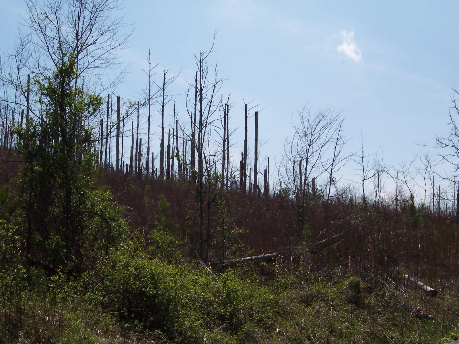
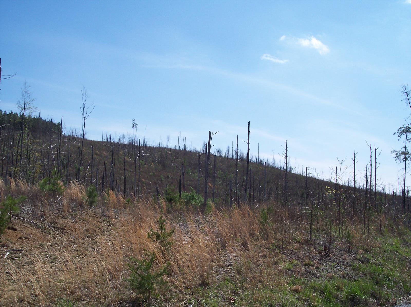
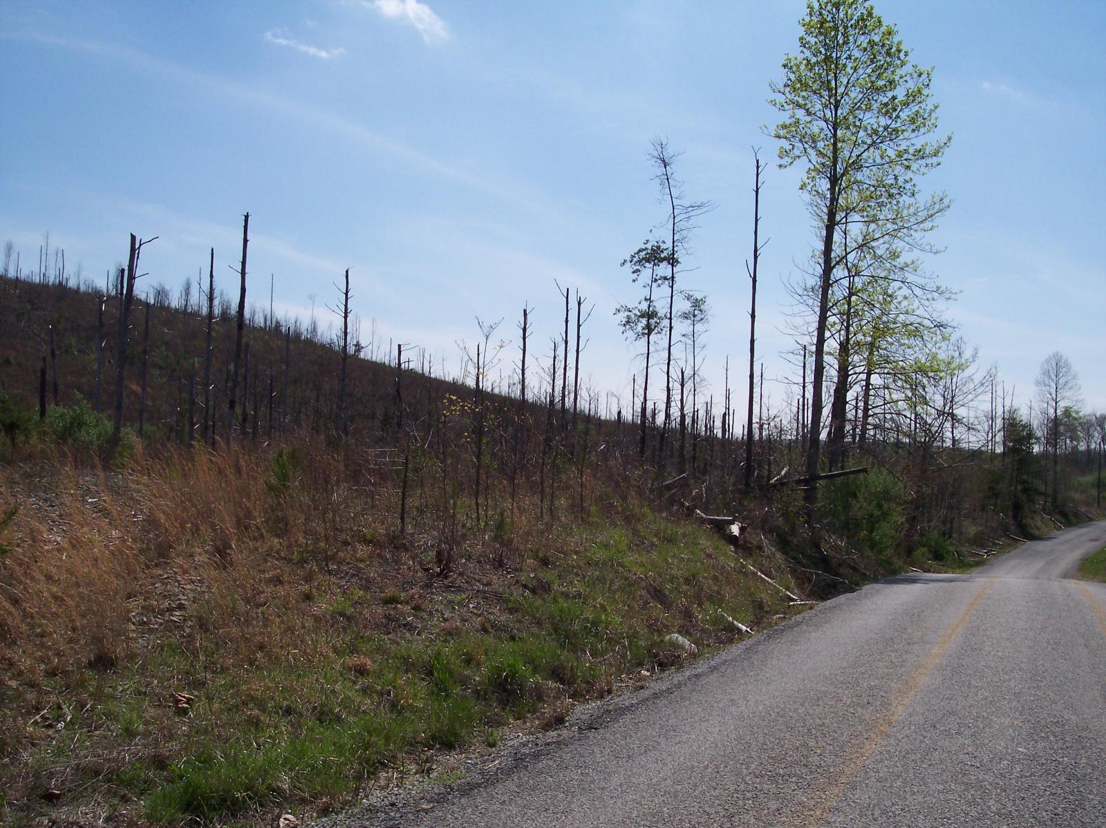
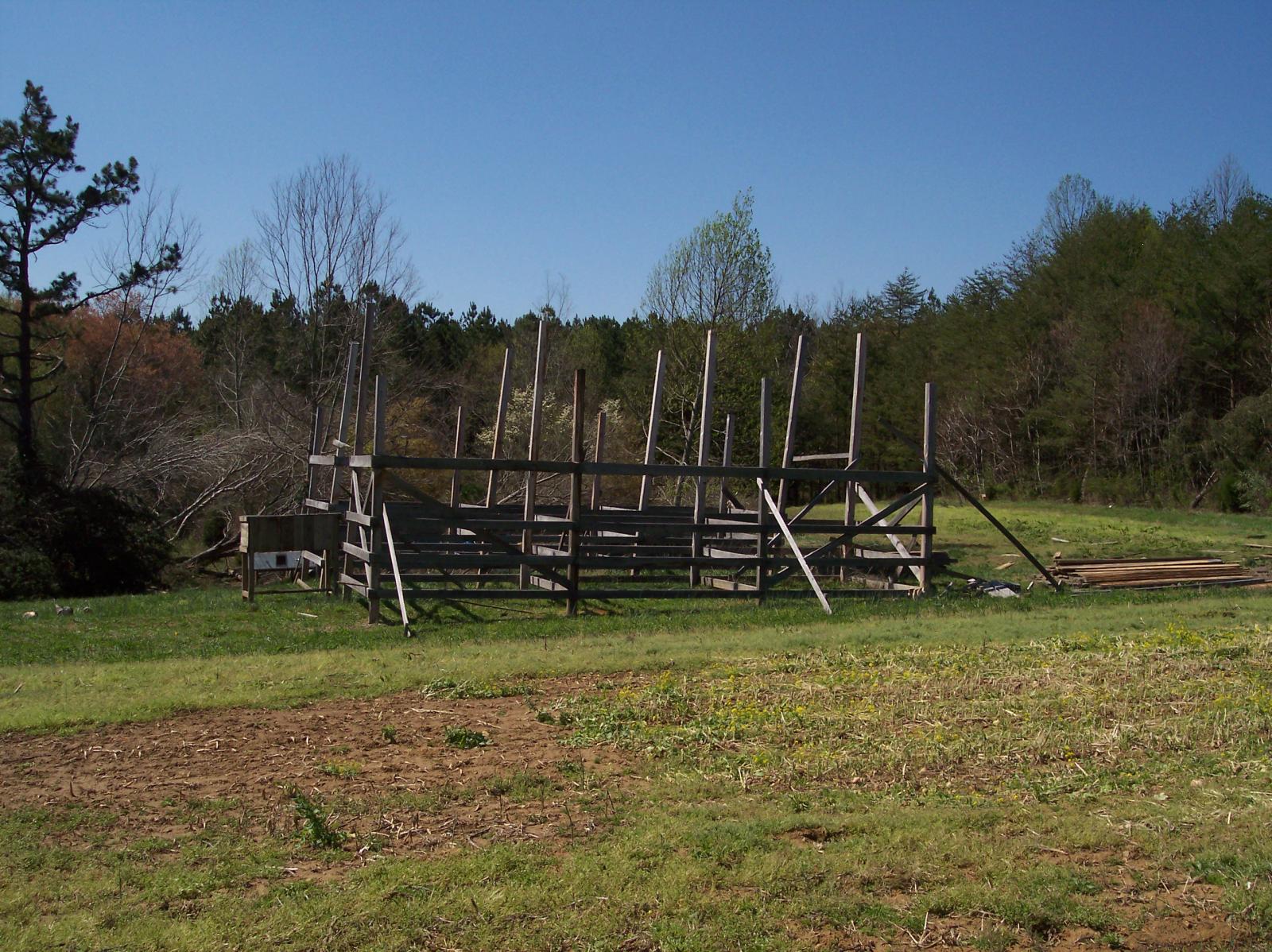
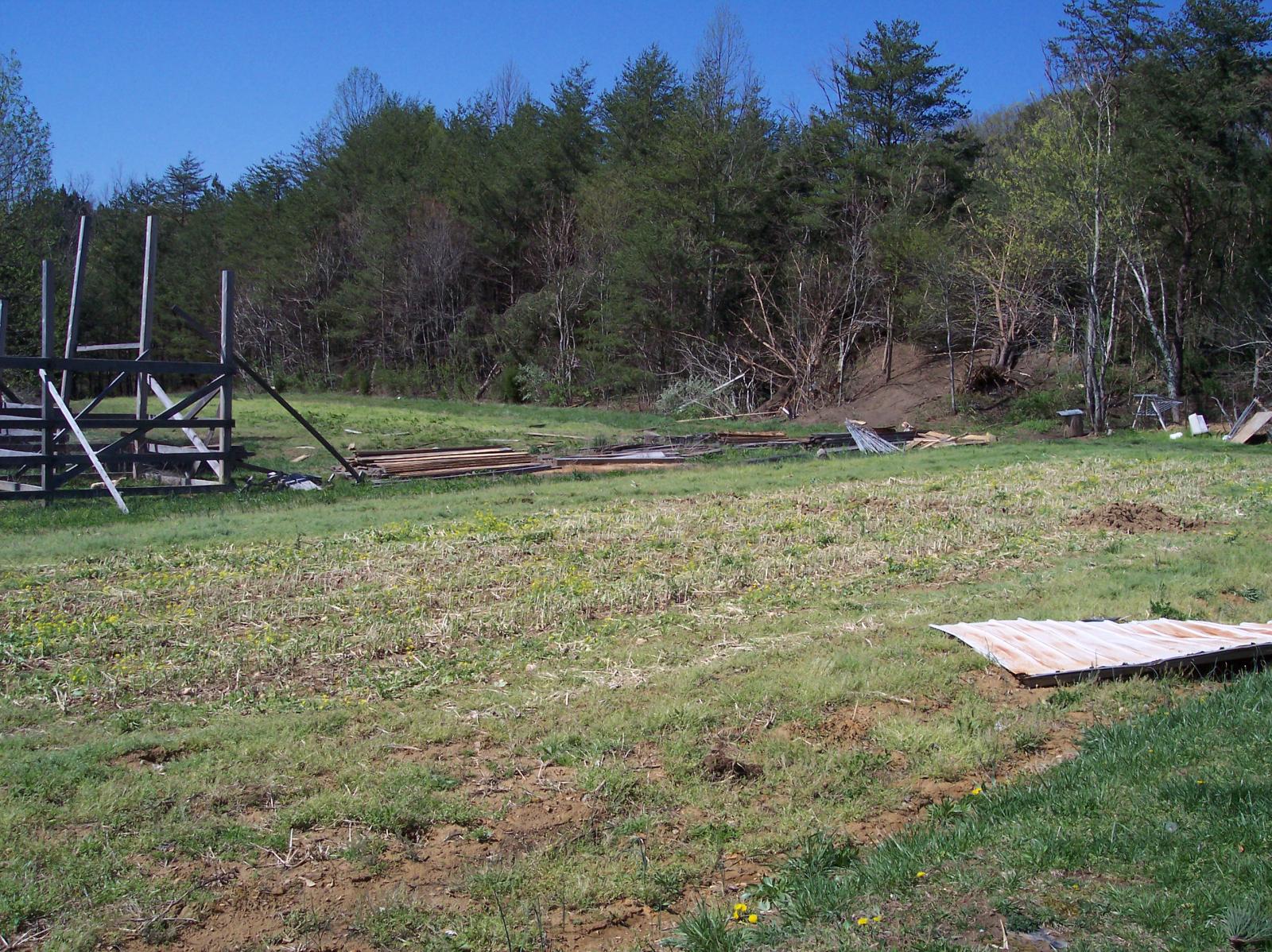
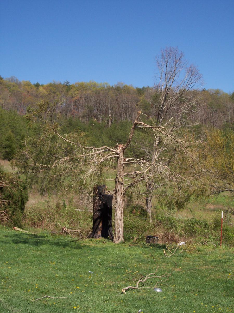
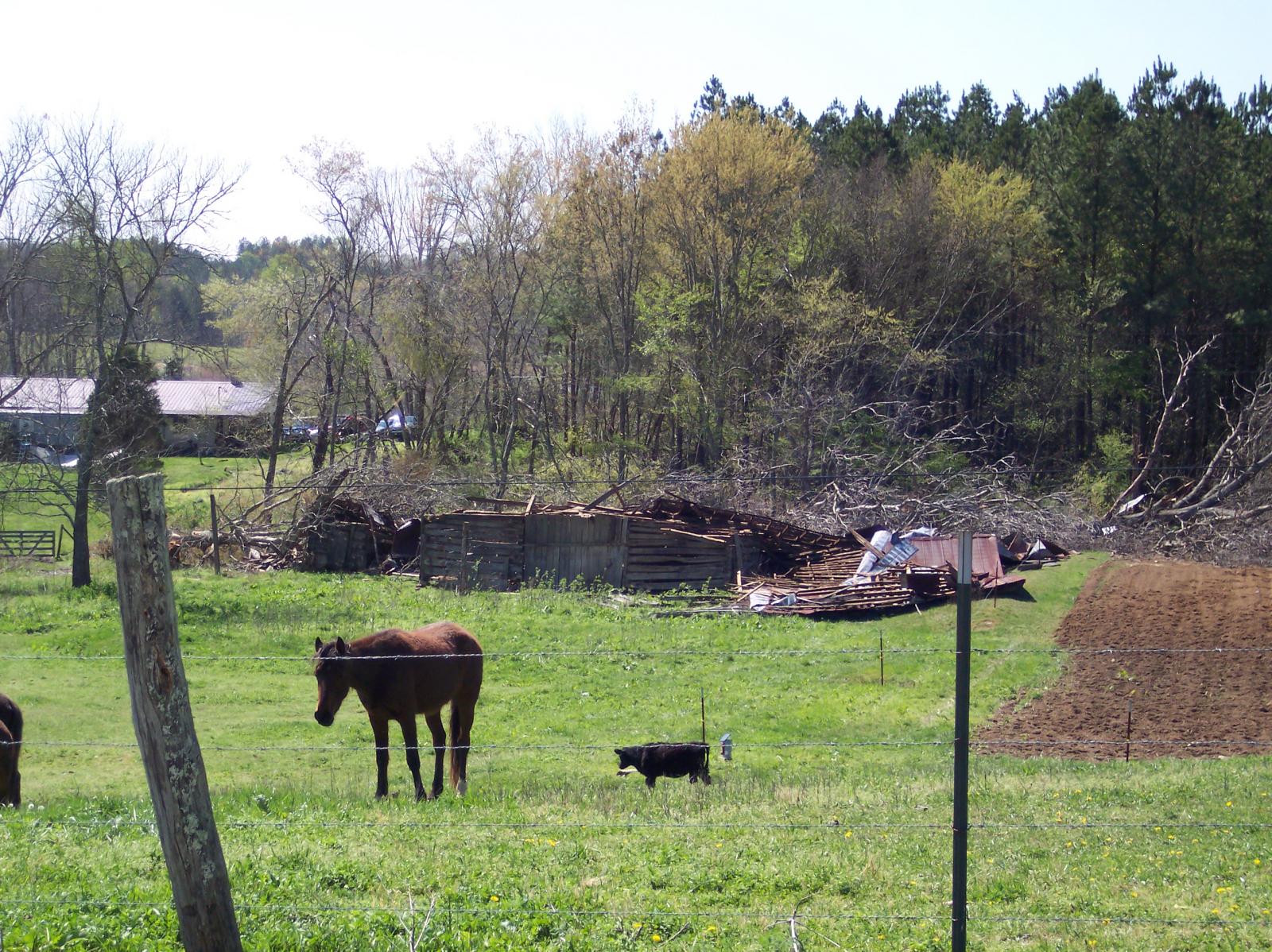
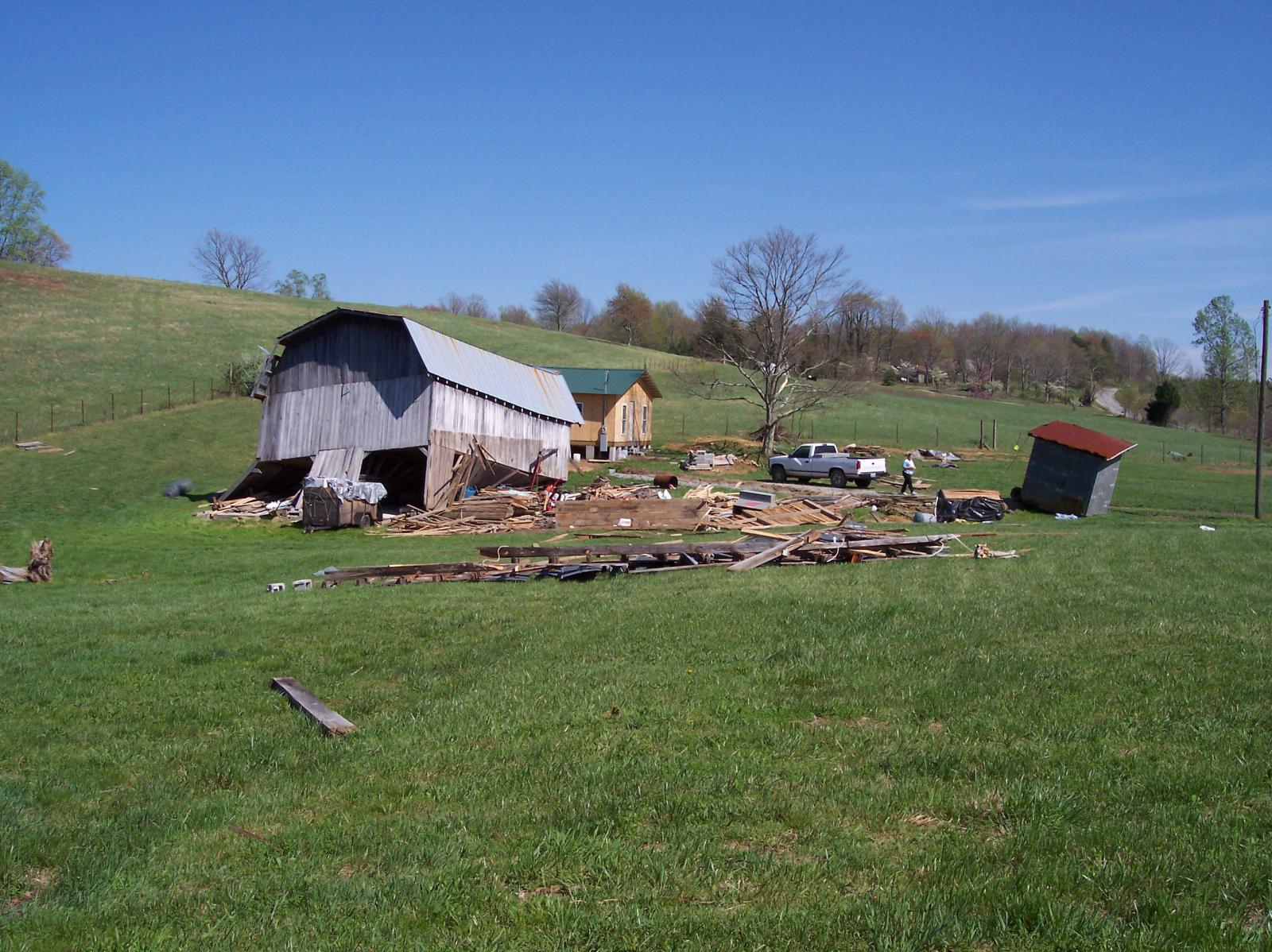
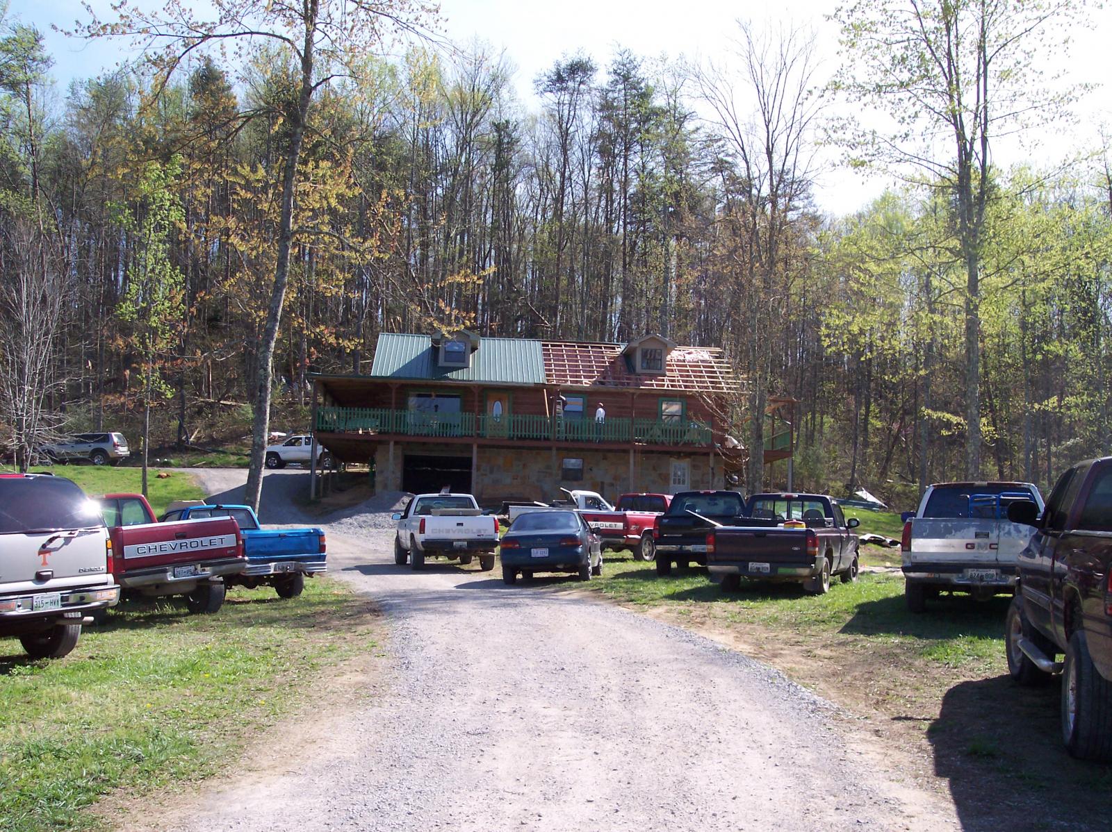
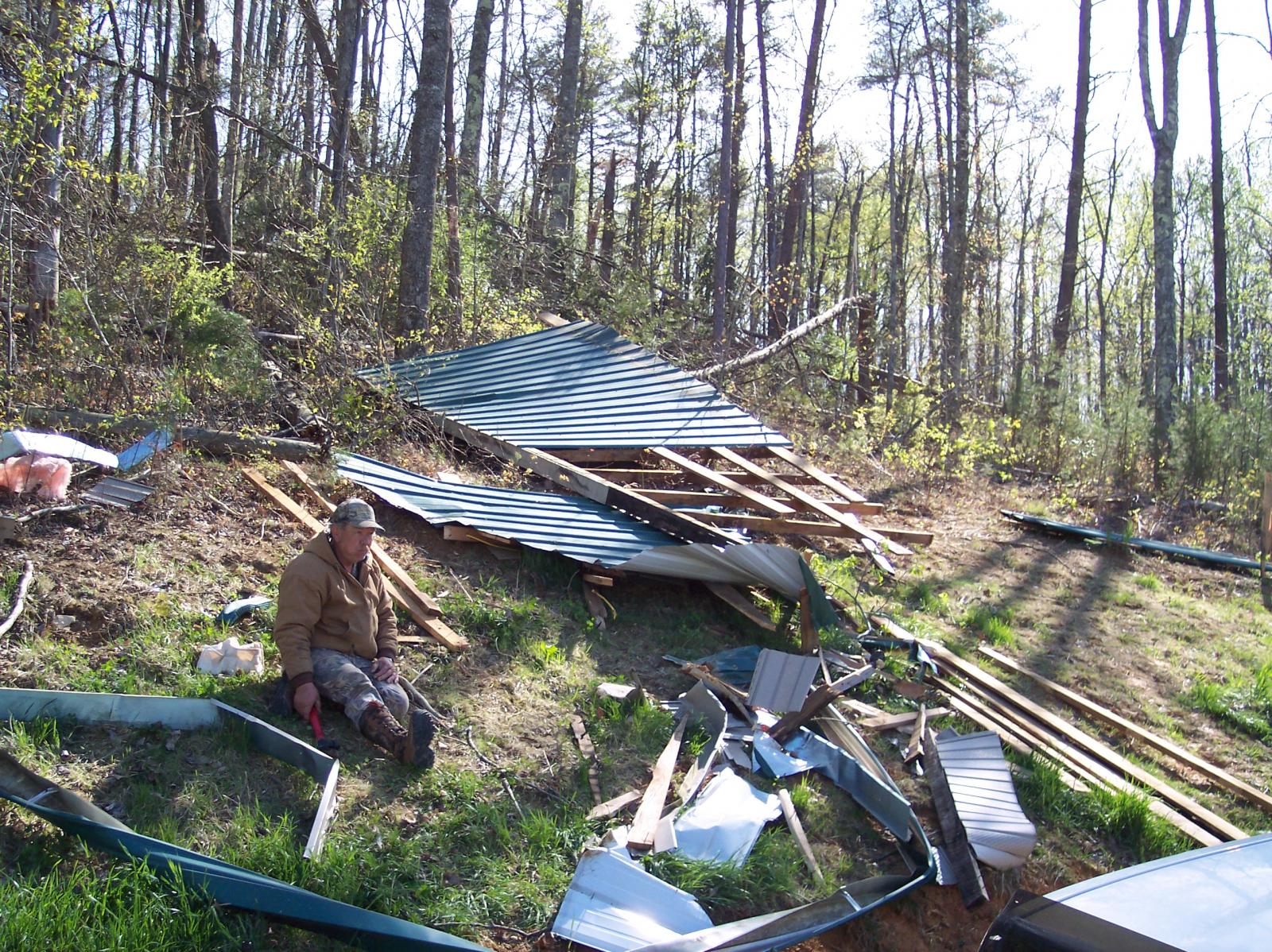
Damage: SHAMBURGER (2024) - Radar data and high resolution satellite imagery indicate this supercell tornado actually began in eastern White County just east of the Caney Fork River, and had a significantly longer path than indicated in Storm Data at around 6.7 miles. The tornado began just east of the Caney Fork River in eastern White County where it blew down numerous trees in all directions. The tornado crossed into Cumberland County and moved east-southeast across Dugger Branch Road where it pushed a mobile home off its foundation, then across Wilson Way where it destroyed two barns. The tornado continued east-southeast through rural forests before damaging a home on Clarence Blaylock Road and destroyed a barn and camper on Thomas Springs Road. The tornado weakened and the path became more intermittent as it continued east-southeast through the Midway community across Flynns Cover Road, Slave Mill Road, and Latana Road with occasional trees blown down. A mobile home was then reportedly destroyed on Cherokee Drive before the tornado lifted near Webb Loop. |
|





US Dept of Commerce
National Oceanic and Atmospheric Administration
National Weather Service
Nashville, TN
500 Weather Station Road
Old Hickory, TN 37138
615-754-8500
Comments? Questions? Please Contact Us.

