 Date Posted: April 3, 2017
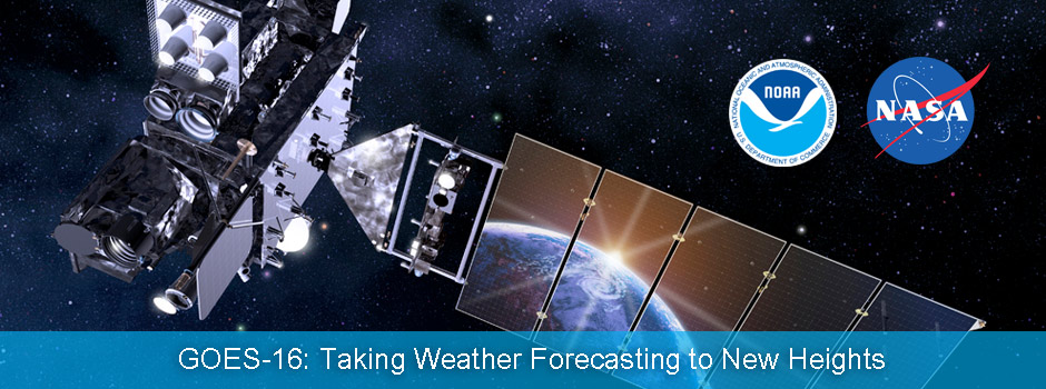
NOAA’s latest geostationary weather satellite is on orbit and sending back beautiful images of Earth’s Western Hemisphere. GOES-R successfully launched on November 19, 2016 and became GOES-16 when it reached geostationary orbit. The first light data and imagery from each of the six instruments on board GOES-16 have been released and calibration and validation activities are underway.
The GOES-16 field campaign has begun! Get reports from the field over the next three months as we fine-tune instruments aboard the satellite using high-altitude planes, ground-based sensors, drones and other satellites.
On January 23, the first images from GOES-16 were released, providing a glimpse of the future of weather forecasting. GOES-16 scans the Earth five times faster than NOAA’s previous generation of geostationary satellites, with four times the resolution and three times more spectral channels, for more accurate weather forecasts and severe weather outlooks.
GOES-16 is also transmitting previously unavailable lightning data. The satellite carries the first operational lightning mapper flown in geostationary orbit, measuring lightning activity 24/7, which will help forecasters know when a storm is forming, intensifying and becoming more dangerous. Rapid increases of lightning activity can indicate a storm may produce severe weather. NOAA unveiled this brand new lightning data on March 6.
GOES-16 also keeps an eye on weather in space. The satellite hosts a suite of instruments that provide significantly improved detection of approaching space weather hazards, such as radiation, power blackouts, and communications and navigation disruptions. One of these instruments observes the sun and provides warnings of solar eruptions. The first GOES-16 solar images were released on February 27, showing a large coronal hole.
See more of this preliminary data and imagery from GOES-16 at https://go.usa.gov/xXqKe.
GOES-16, the first in the series of four NOAA next-generation geostationary weather satellites, launched on November 19, 2016, from Cape Canaveral Air Force Station, Florida. The satellite, which was known as GOES-R at launch, became GOES-16 when it reached geostationary orbit at the end of November. GOES satellites are designated with a letter prior to launch. Once a satellite has achieved orbit, it is assigned a number. By June 2017, NOAA is expected to announce the planned operational location for GOES-16. The satellite will reside in orbit as either GOES East or GOES West and be fully operational by November 2017.
For more information on GOES-R Series satellites, please see www.goes-r.gov.