
Sinlaku continues to bring destructive winds, widespread heavy rain/flooding, and storm surge to the Marianas. Showers and severe thunderstorms are expected from the Northeast to the Mid-Mississippi Valley and to the Central/Southern Plains through Thursday. A front will produce late-season snowfall over the Cascades and Northern Rockies and coastal rain over the Northwest Coast through Thursday. Read More >
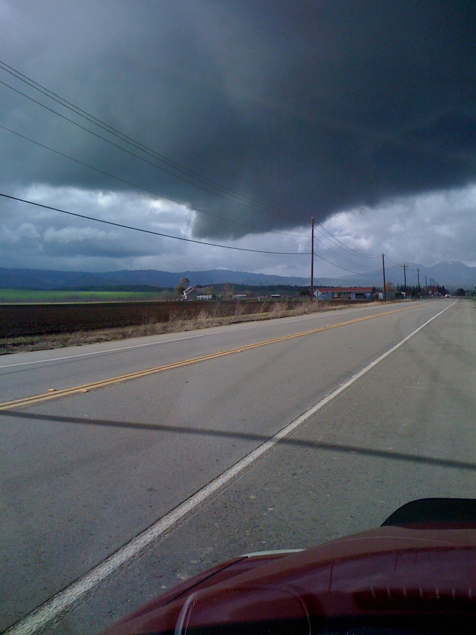
A very strong thunderstorm went through a portion of Contra Costa County near Brentwood and Discovery Bay on Saturday, January 23rd. The following pictures were taken by Diane Rybicki of the Contra Costa Water District and are used here with her permission and the permission of the Contra Costa Water District.
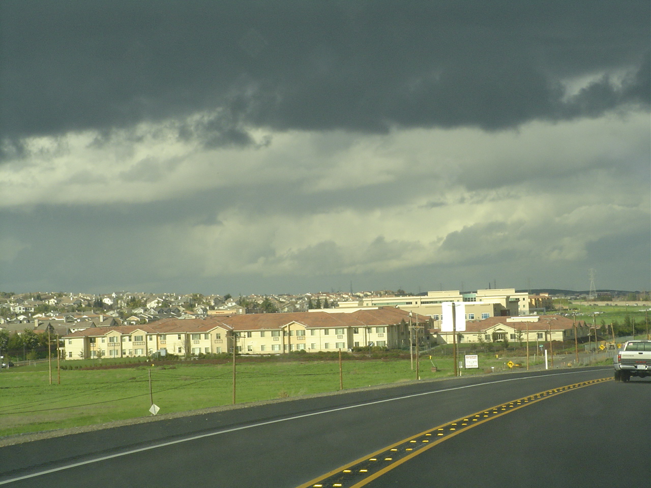
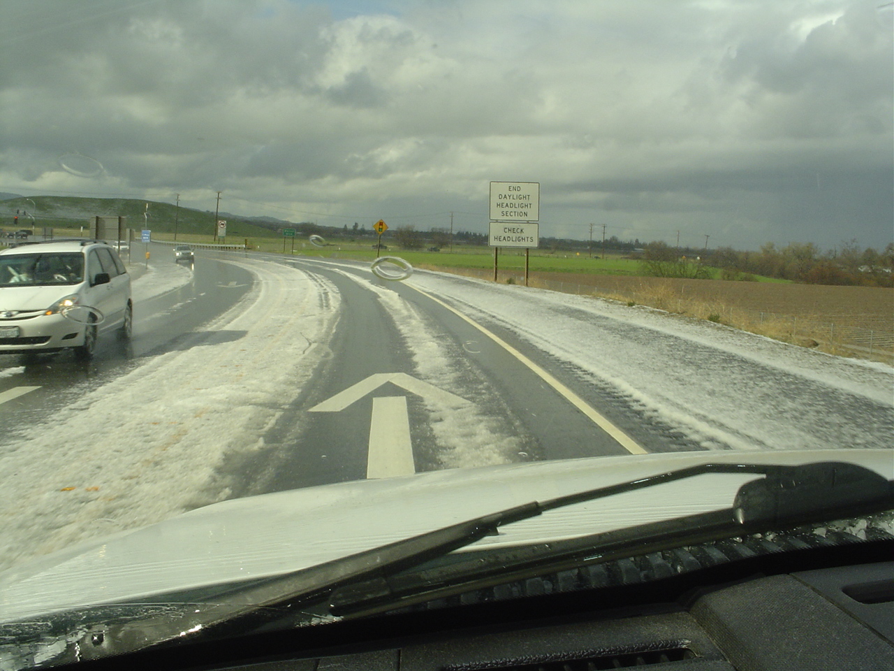

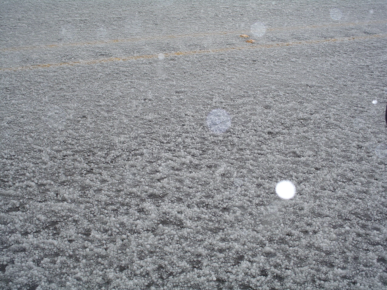
A low topped super cell produced an EF0 tornado near Brentwood. The tornado crossed power lines and destroyed a utility pole. An eyewitness described the tornado as high winds from swirling white cloud. The pole was twisted to the ground and the top one-third of the 40-foot pole was splintered. Fifty-five customers lost power at 12:54 p.m. PST.


Radar Loop of the Low Topped Cell. Tornado location noted on map


