
The threat of heavy snowfall and gusty winds continue for portions of the Great Lakes, the northern Mid-Atlantic, and New England through Wednesday. There is the potential for snow squalls that may produce dangerous travel. A storm system is expected to produce severe storms over the Southern Plains Wednesday and Thursday. Heavy rain may produce flash and river flooding. Read More >
Last Map Update: Tue, Jan 28, 2025 at 2:30:11 pm PST


|
Text Product Selector (Selected product opens in current window)
|
|


 Social Media
 San Francisco Radar
 Sacramento Radar
 Satellite
 Weather Map
 Local Graphical Forecast
 U.S. Graphical Forecasts
 Forecast Weather Tables
 Recent MTR Temperatures
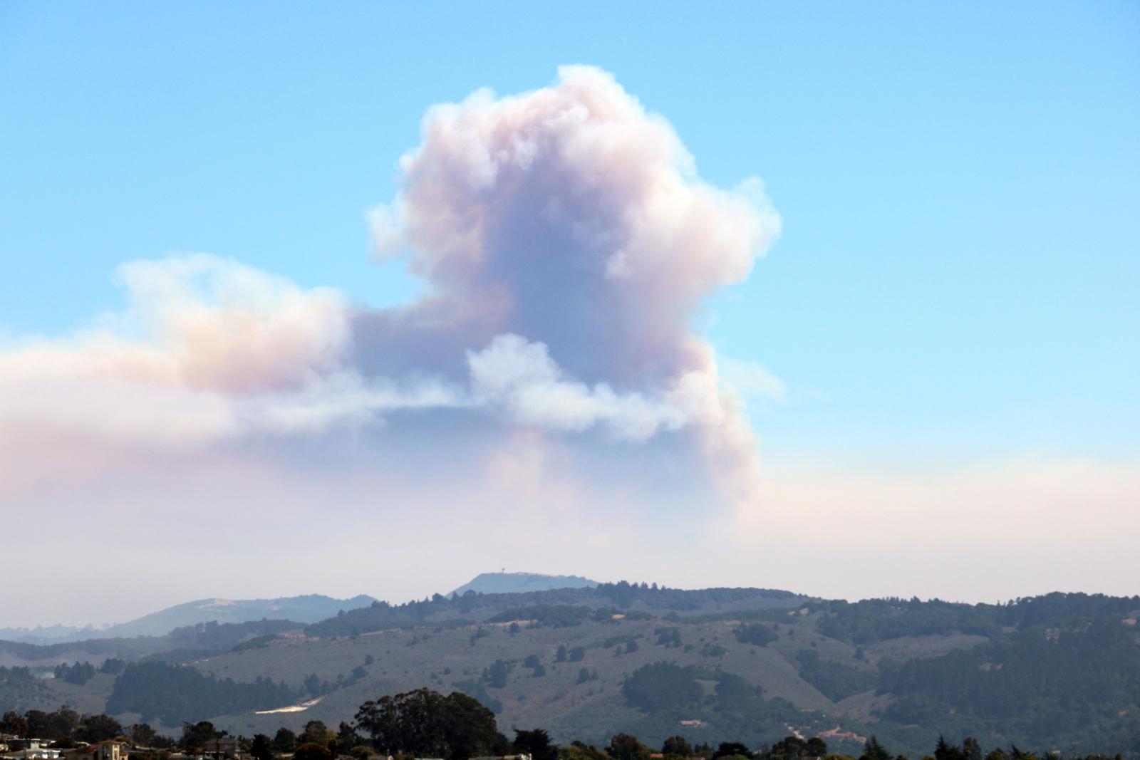 Fire Weather
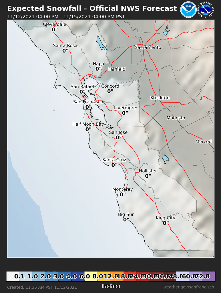 Probabilistic Snowfall Forecasts
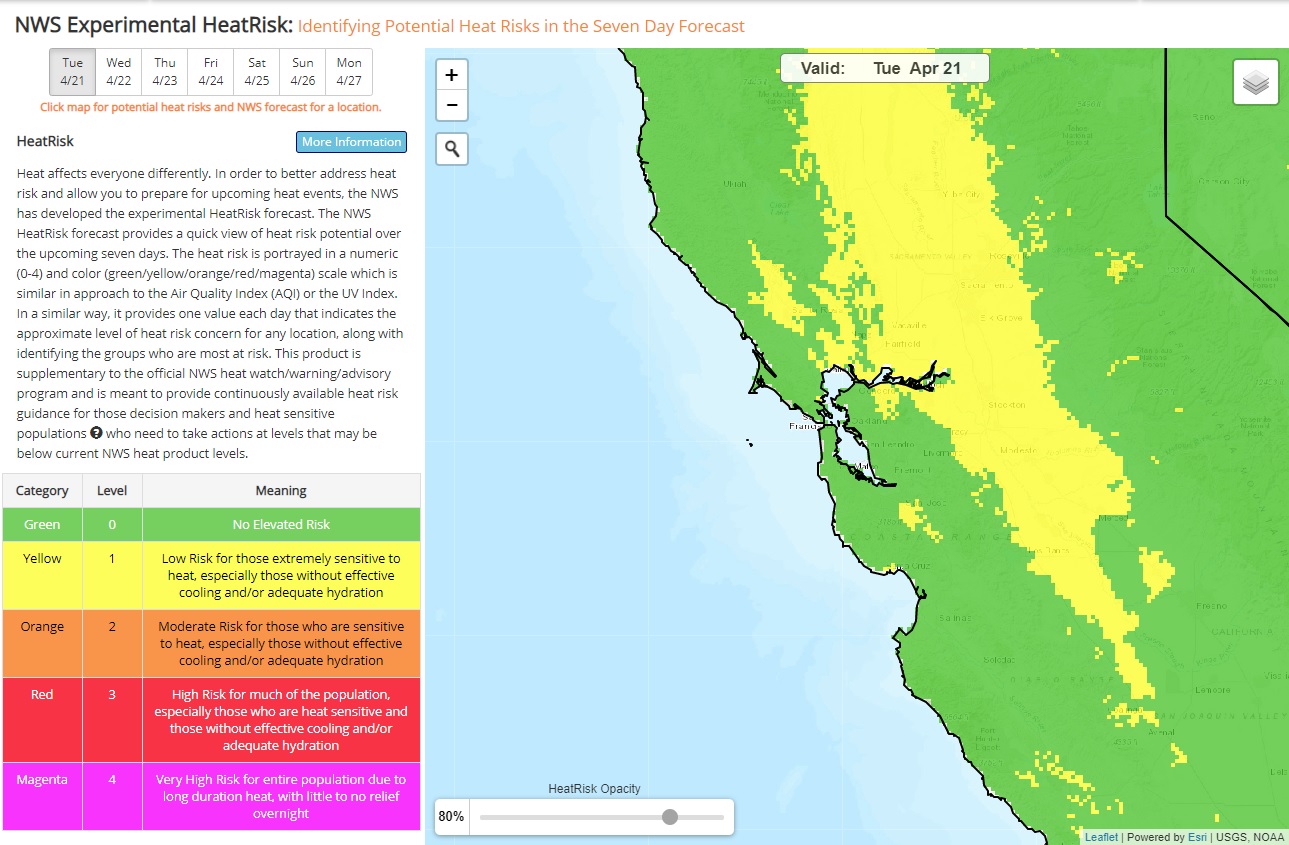 Heat Risk Link