
A prolonged atmospheric river event will continue to bring moderate to heavy rain to northern and central California through the Pacific Northwest with mountain snow in the Cascades and northern Rockies today into next week. Read More >
Last Map Update: Sat, Feb 1, 2025 at 12:46:46 pm PST


|
Text Product Selector (Selected product opens in current window)
|
|


 Social Media
 San Francisco Radar
 Sacramento Radar
 Satellite
 Weather Map
 Local Graphical Forecast
 U.S. Graphical Forecasts
 Forecast Weather Tables
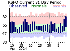 Recent MTR Temperatures
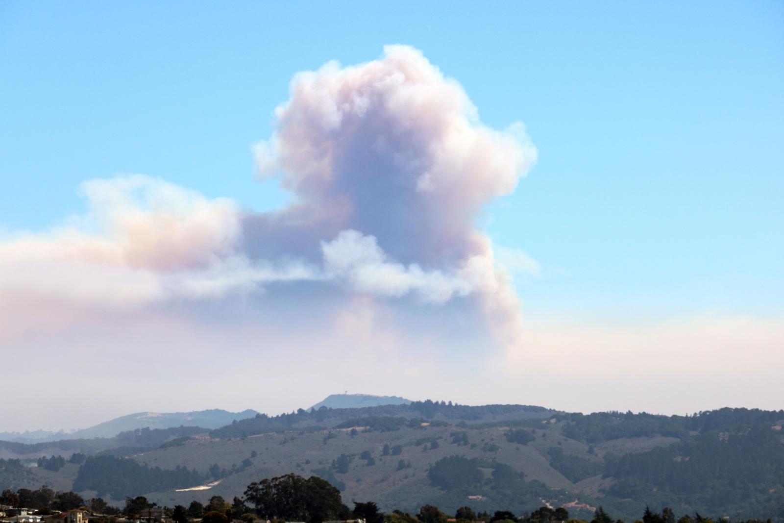 Fire Weather
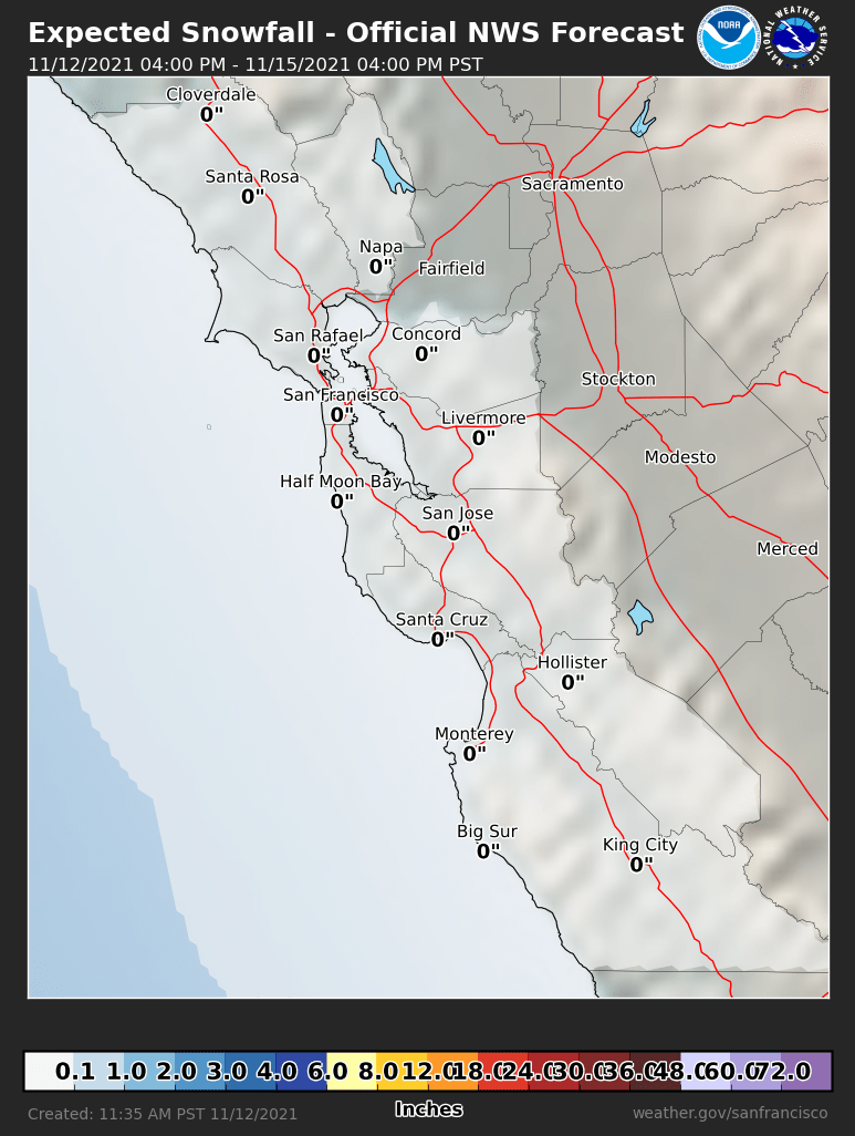 Probabilistic Snowfall Forecasts
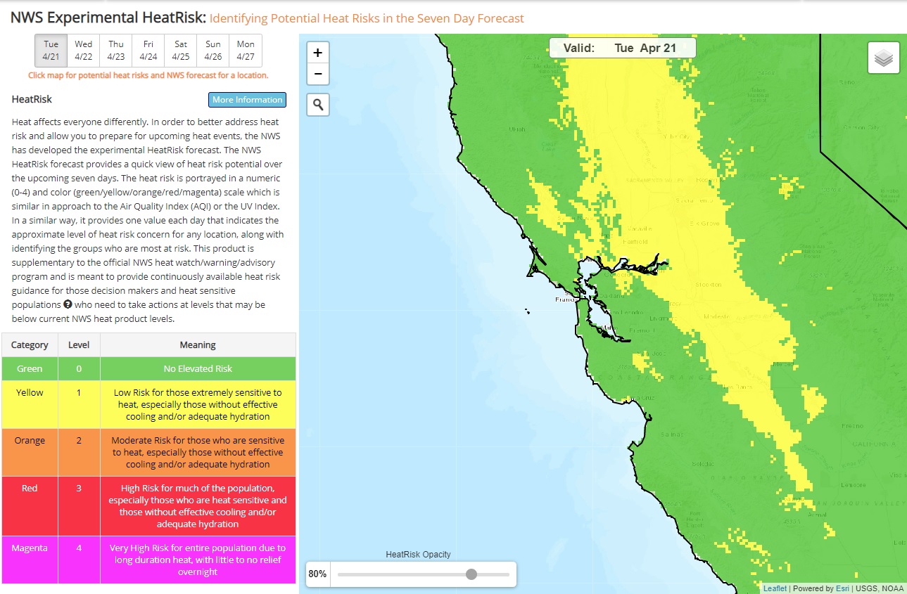 Heat Risk Link