
Hot temperatures and high humidity are forecast to continue across the mid-Mississippi Valley into this weekend. Heat Advisories remain in effect. Heavy to excessive rainfall occurring at times through the weekend could bring areas of flooding to parts of the northern Rockies, upper Midwest, central Great Lakes, and southern New England. Read More >
Last Map Update: Fri, Sep 18, 2026 at 6:04:49 am PDT
|
Text Product Selector (Selected product opens in current window)
|
|





 San Francisco Radar
 Sacramento Radar
 Satellite
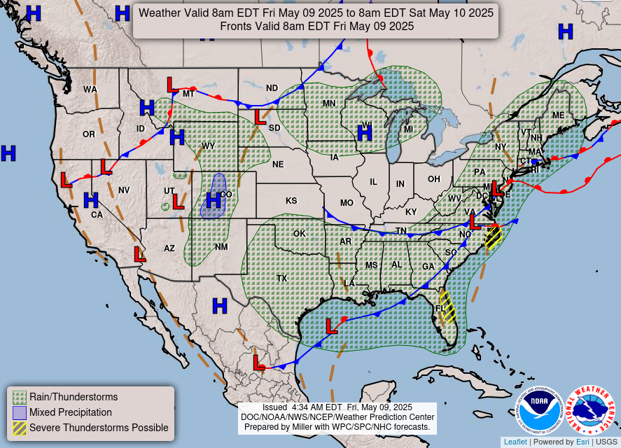 Weather Map
 Local Graphical Forecast
 U.S. Graphical Forecasts
 Forecast Weather Tables
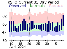 Recent MTR Temperatures
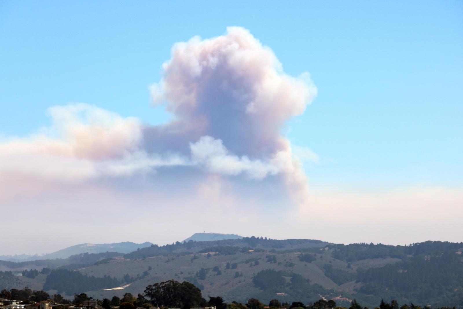 Fire Weather
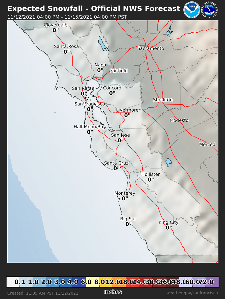 Probabilistic Snowfall Forecasts
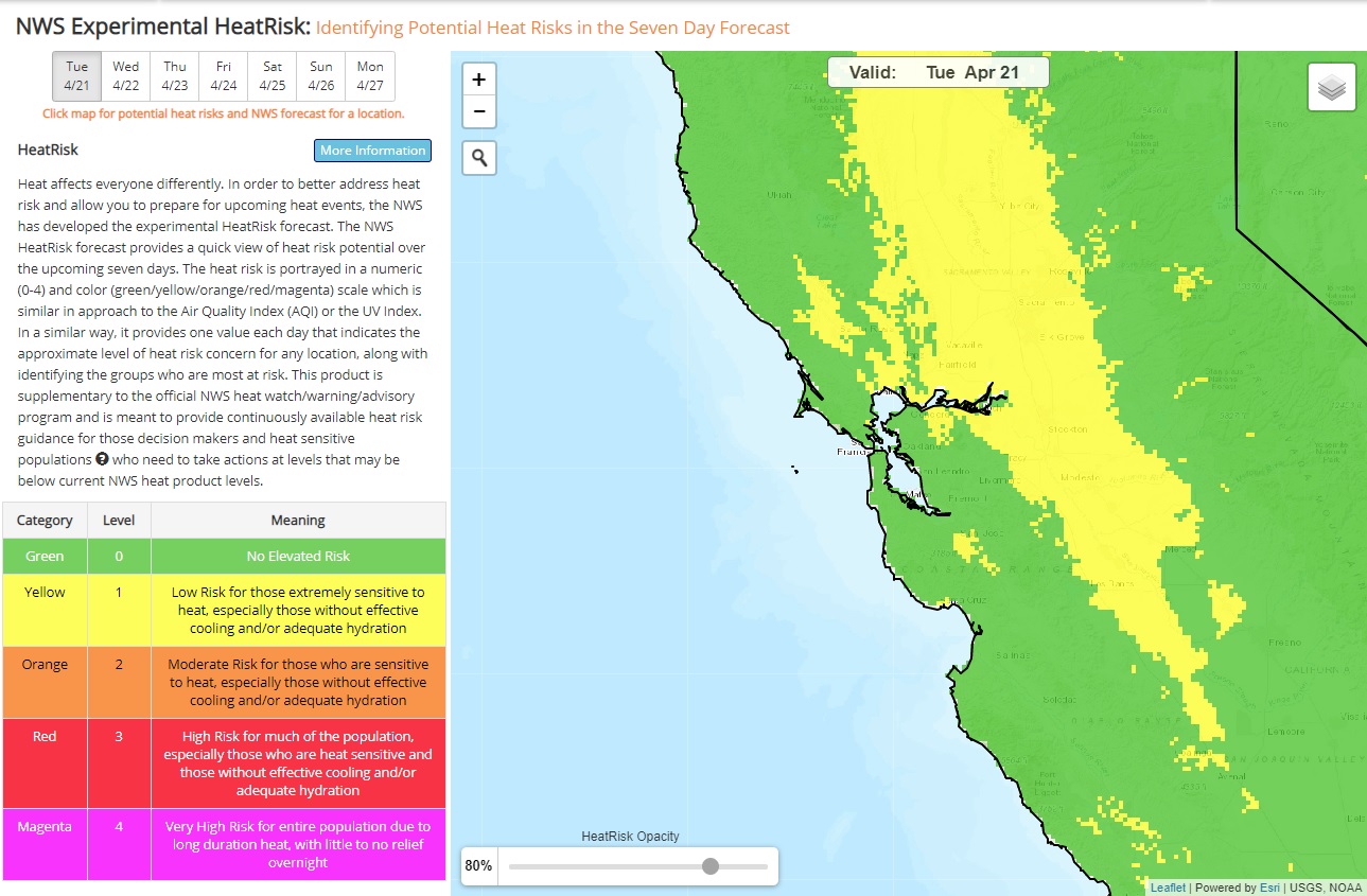 Heat Risk Link
 Weather Stats
 Follow us on X
 Follow us on Facebook
 Follow us on YouTube
 MTR RSS Feed