My Introduction: First Year
The first couple of months in the NWS, like any job, were overwhelming. There was an incredible amount of information to learn, and a lot of training to complete. Growing up outside of East Tennessee, I had to start by learning the geography of the land. From understanding the terrain, to knowing where each county we serve is located, it is very important that we have a good feel for the region we service. As many people know, terrain and elevation play a critical part in weather, so it is important to know these things and understand their importance to our forecasts.
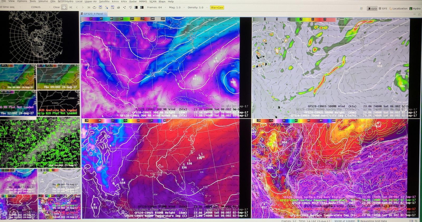
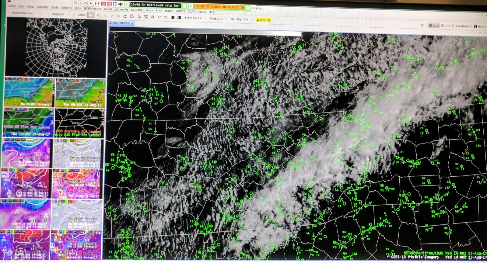
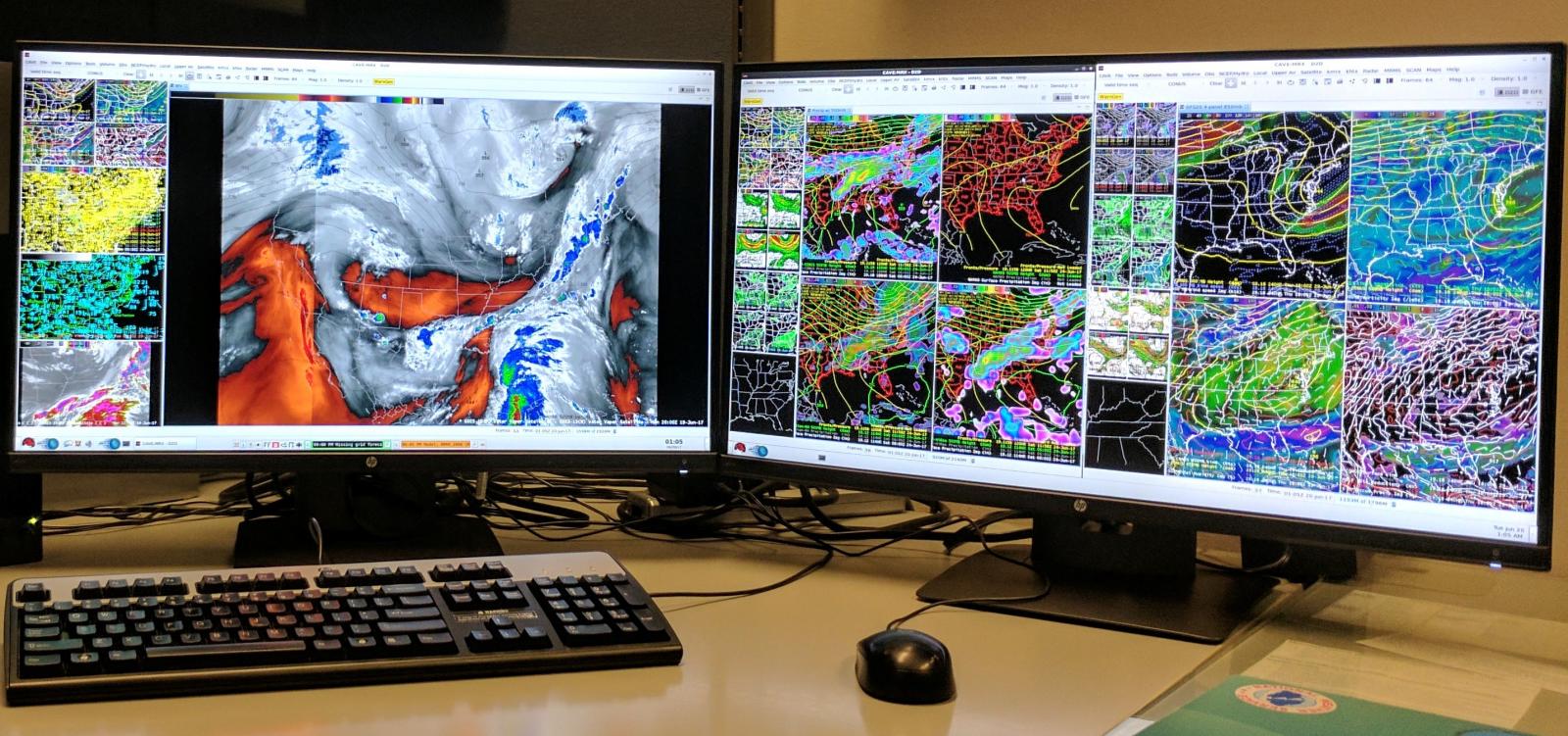
After that, I spent time learning how to generate some of our more fundamental products such as climate, river, and air quality statements. Learning the process involved with creating these products required further computer training in our primary weather forecast computer system. This system, called AWIPS (Advanced Weather Interactive Processing System), is a network of computers and computer servers that continually receive weather data and information and allow it to be displayed in a number of different ways so that the forecaster can visualize the atmosphere and thereby help to create a better forecast. The AWIPS system is quite large and actually contains many different software applications. Each application is used for a different aspect of meteorology. In order to become proficient with these software packages, I spent many hours learning them in order to understand how each worked. From being able to load various products and models, to being able to manipulate a grid of forecast parameters such as temperature, wind, and dew point, there is a lot to learn in order to use this system effectively.


A few pictures of the data available to us on the AWIPS system.
In addition to learning software and products, it also takes some time to learn how this organization with over 100 forecast offices, 9 weather centers, and approximately 4000 employees comes together to fulfill our mission of protecting lives and property. The forecast process typically begins with our weather centers, which serve as centers of knowledge on particular areas of meteorology such as models, aviation, severe weather and hurricanes to name a few. These centers provide data and information to the forecast offices that act as a base from which the regional and local forecasts are further refined. So understanding what each center provides, when it is available, and what the strengths and weaknesses are in those products, is yet another area where the new meteorologist learns a great deal in that first year. Finally, each office has at least 3 other offices capable of taking over operations during any type of communications or data outage. Therefore it is important that each meteorologist in our office has the understanding and ability to issue products for the offices in Nashville TN, Huntsville AL, and Atlanta GA as well as our own. This is yet another crucial component in our ability to seamlessly transition from one office to another and continue to meet our mission.
As if all of that is not enough, there are constant checks for quality control required within the office. Some of these include making sure products are up to date on the web, verifying that our forecast is available on the weather radio and automated phone systems, as well as confirming the accuracy of observations within our system. After several weeks of performing these quality control checks, I became comfortable with where all of our QC tools were located, and how to use them. The hardest part of the equipment and data quality control was becoming comfortable with handling something that was out of the ordinary. For instances, what do I do if a river product never made it in to our system, or the weather radio suddenly lost connection, or even if the climate was not posting to the web? I had to learn in each situation what to do and who to contact to resolve the issue. Since these odd situations did not occur too often, it took a while to learn completely how to handle them.
Finally, through all of this training, each new meteorologist spends hundreds of hours performing different types of on-line, residence, and in-office training on many different areas of meteorology. The most significant of these is the radar course. This course teaches each person details about the radar and how to use the information it provides more efficiently and effectively. It explains how to to manage the radar from adjusting scan patterns to understanding clutter suppression. The course focuses in on how to interpret the over 200 different products generated by the radar each time it makes a single volume scan of the sky. Needless to say, this course takes around 6 months to complete and contains several online modules and tests along the way. The course culminates with a one week intensive hands-on training program in Norman Oklahoma where the students practice issuing radar warning products using real data in a simulated environment.
Once I completed the radar course, I began diving into issuing the forecasts and warnings. The training plan for new hires at this office is to begin by observing other forecasters. Seeing what models and interpolations they use, and how to best manipulate the software to produce the desired numbers. After several months, I finally began forecasting myself, with another forecaster shadowing my work. As I became more proficient with the software and tools available to make the forecasts, I was eventually able to run the shift as a forecaster myself.
Even today, as I am now many years into my NWS career, I continue to learn something new almost every day. The science is ever changing. The technology is getting better and we are constantly given new and improved tools to do the job. I guess that is what makes the job exciting and challenging!

