
A slow moving front will produce a threat for heavy rainfall and severe weather from New Mexico into the western High Plains through the weekend. Heavy rainfall is also expected this weekend in South Florida. The Bering Sea storm continues to bring heavy precipitation, strong winds, and minor to major coastal flooding through the weekend across western Alaska. Read More >
You may also view recent 24-hour local storm reports that have been issued by the NWS.




Tornado
Tornado: A violently rotating column of air extending from a thunderstorm cloud to the ground. The Enhanced Fujita Tornado Intensity Scale is used to categorize tornadoes
Funnel Cloud: A condensation funnel extending from the base of a towering cumulus or cumulonimbus, associated with a rotating column of air that is not in contact with the ground (and hence different from a tornado). A condensation funnel is a tornado, not a funnel cloud, if either a) it is in contact with the ground or b) a debris cloud or dust whirl is visible beneath it.
Wind Damage:
What kind of damage did the wind cause?
Hail:
What size hail did you see?
Flooding:
What kind of flooding was observed?
Heavy Rain:
Snow:
Freezing Rain/Icing:
Strong Winds:
We are generally interested in wind speeds of 40-50 mph or higher. Here is some info on how to estimate wind speeds:
39-54 mph: Twigs break off trees; wind generally impedes progress.
55-72 mph: Damage to chimneys and TV antennas; pushes over shallow rooted trees.
73-112 mph: Peels surfaces off roofs; windows broken; light mobile homes pushed or overturned; moving cars pushed off road.
Dense Fog:
We are mainly interested in visibility reports of a half mile or less.



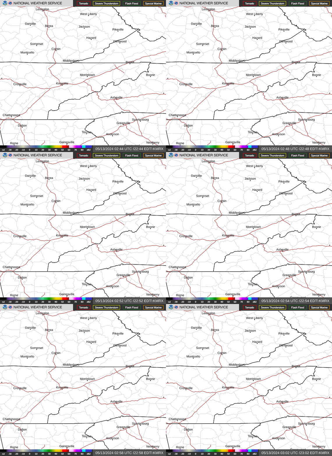 Local Radar
 Huntsville Radar
 Regional Satellite
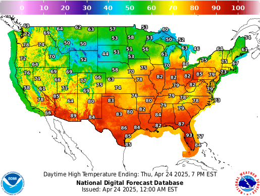 Graphical Forecast
 Weather Map
 Follow us on X
 Follow us on Facebook
 Follow us on YouTube
 MRX RSS Feed