National Weather Service United States Department of Commerce


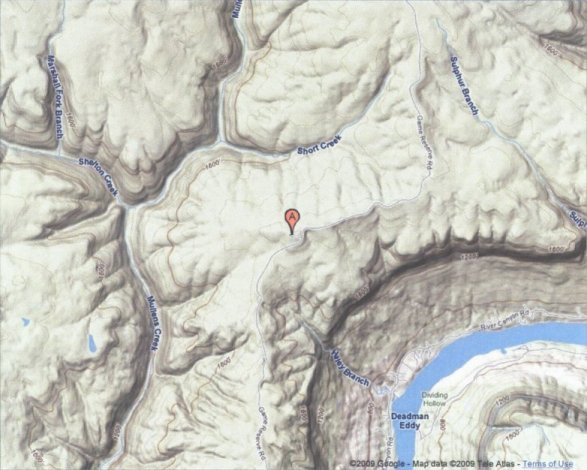
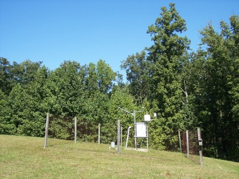
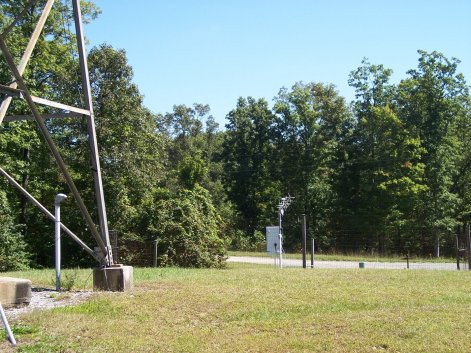
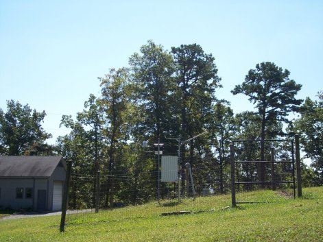
Prentice Cooper RAWS site information


This TN Division of Forestry site is located in Prentice Cooper State Forest in east-central Marion County, Tennessee. It's located around ten miles northwest of Chattanooga atop Walden's Ridge (part of the Cumberland Plateau) at an elevation of 1920 feet MSL. This station is in a grassy clearing on a high part of the ridge. The site is cleared of trees in most directions, except for the northerly direction. There is a 100 foot fire tower just to the west of the RAWS equipment, with the anemometer located around 80 feet up the tower (just underneath the observation deck) on an arm extending out to the south. To the north and northeast, the terrain is fairly level. About a third of a mile to the southeast, a steep slope drops off towards the Tennessee River (elevation 650 feet) a mile to the southeast. About a mile to the west is a less rugged valley. Three fourths of a mile to the southwest, the elevation is about 1500 feet in the creek valley. The Sequatchie valley lies around four miles to the west. The most common wind direction for this site is from the southwest up the Tennessee River and smaller creek valley.


Topographical map of the Prentice Cooper RAWS site
Topographical map of the Prentice Cooper RAWS site.

View of the Prentice Cooper RAWS site looking north
View of the Prentice Cooper RAWS site looking north.

View of the Prentice Cooper RAWS site looking east
View of the Prentice Cooper RAWS site looking east.

View of the Prentice Cooper RAWS site looking south
View of the Prentice Cooper RAWS site looking south.

View of the Prentice Cooper RAWS site looking west (anemometer is located just underneath the observation deck and pointed south)
View of the Prentice Cooper RAWS site looking west
(anemometer is located just underneath the observation deck and pointed south).