Mobile/Pensacola
Weather Forecast Office

Hurricane Katrina Photos
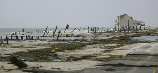
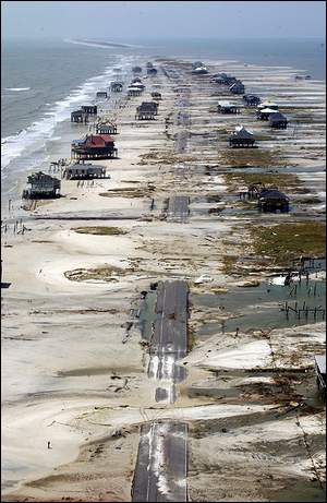
Dauphin Island and Mon Louis Island (southern Mobile County)
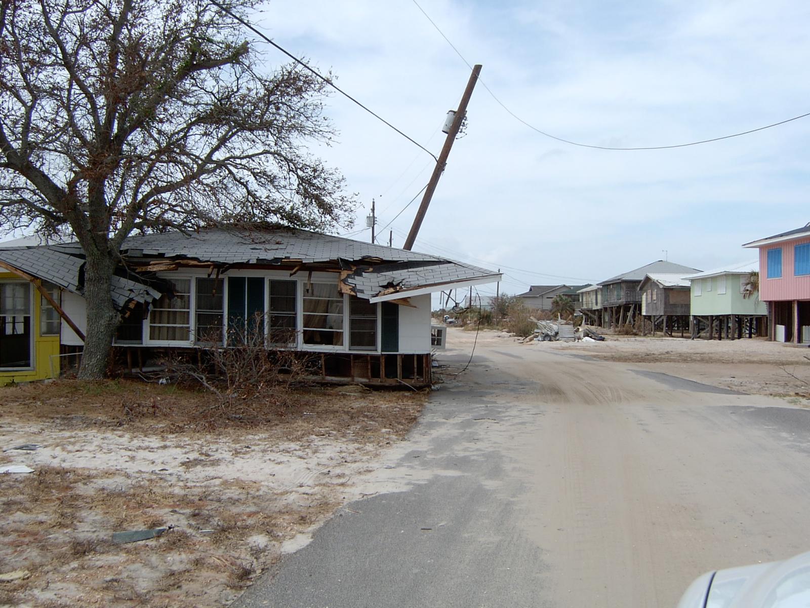
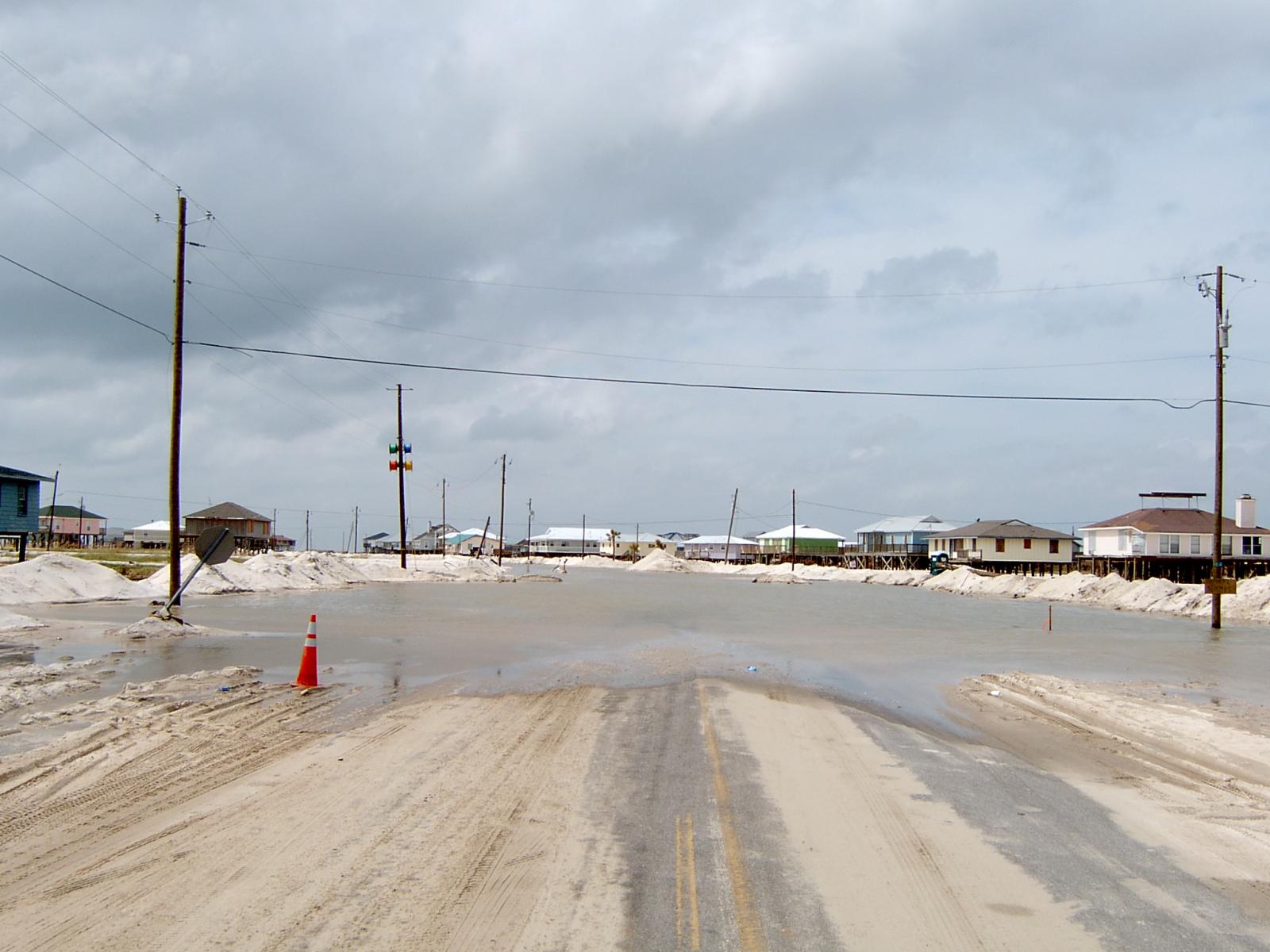


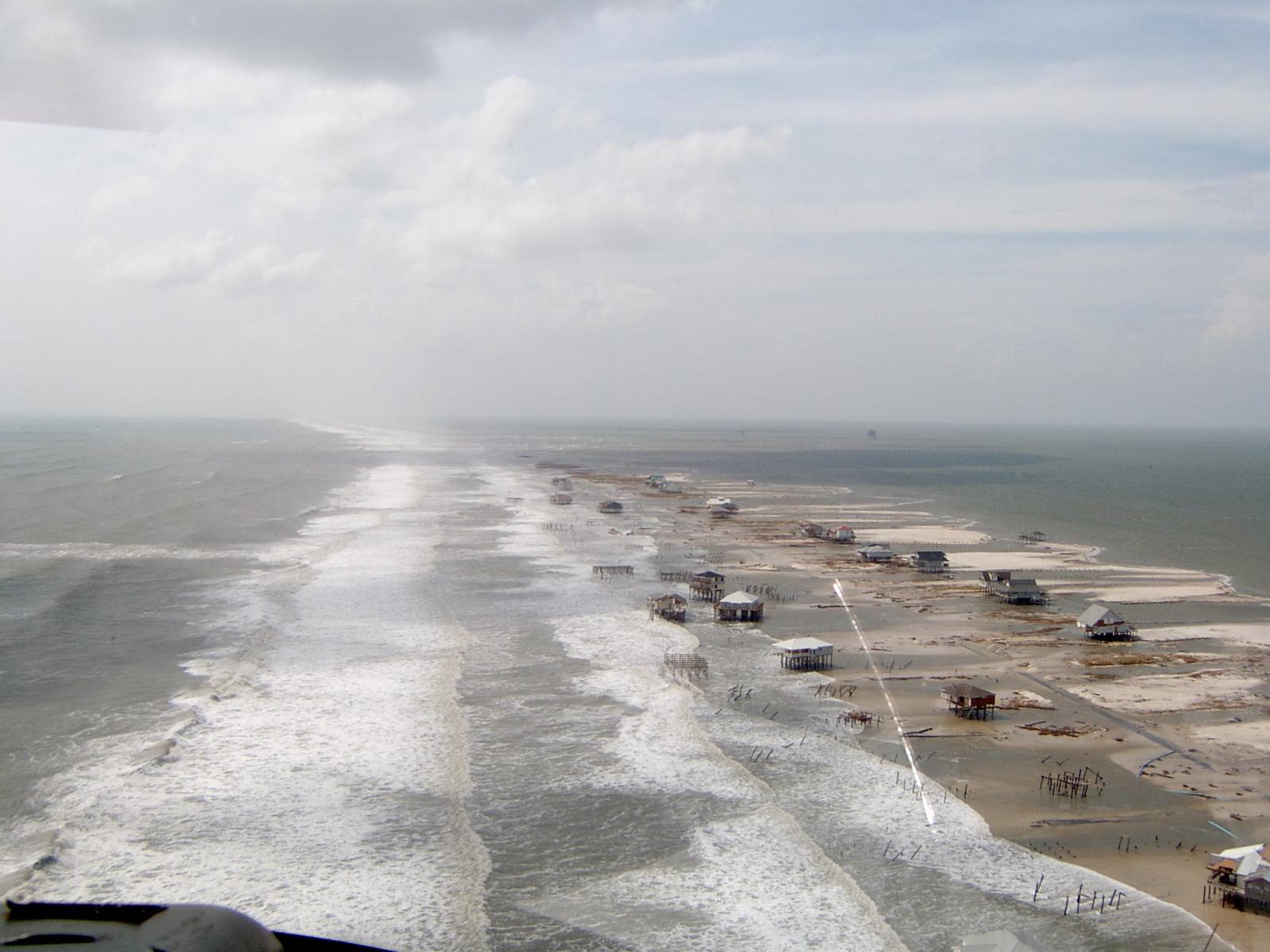

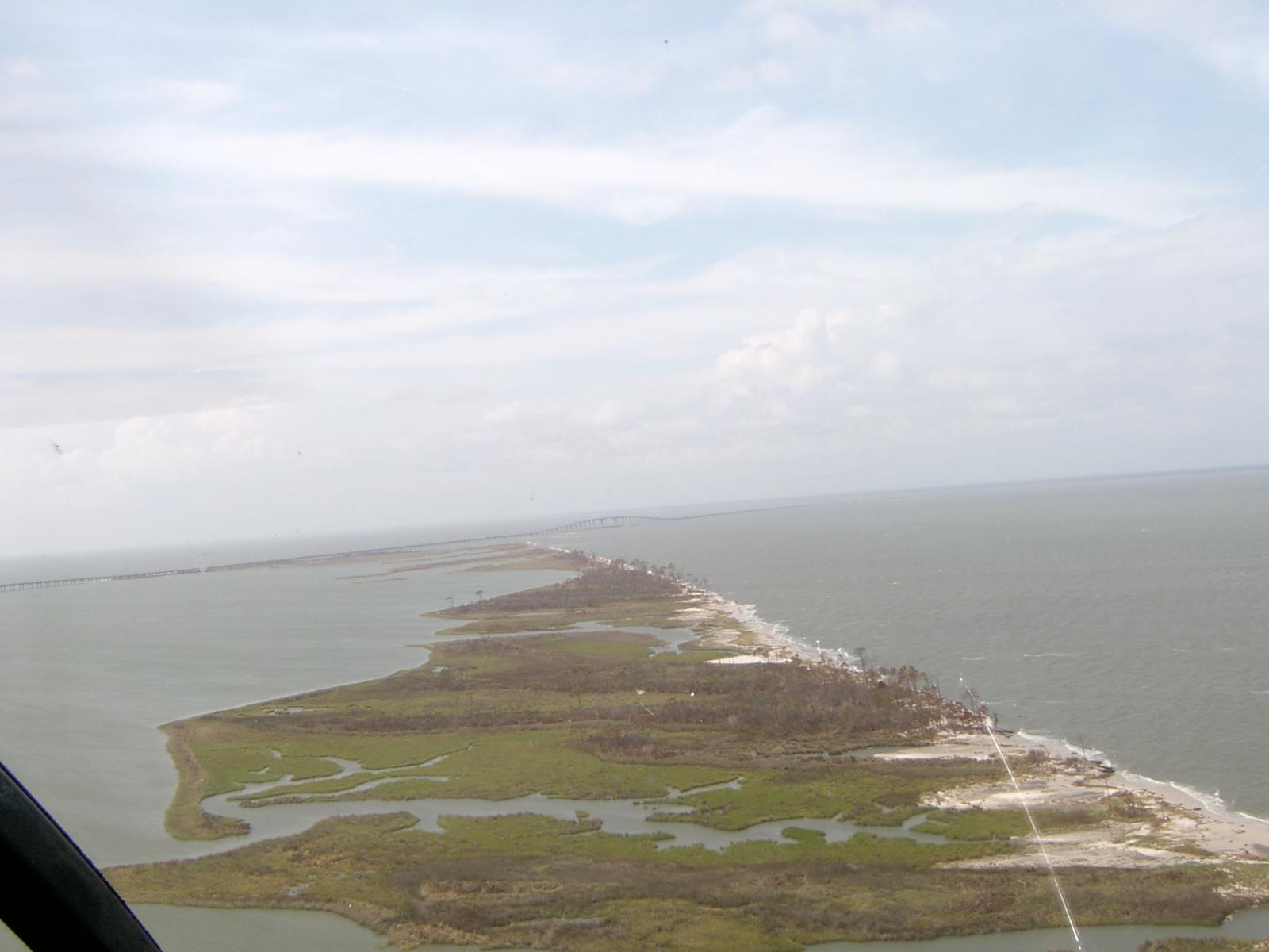

Dauphin Island (via FEMA):


Dauphin Island (via AL.com):
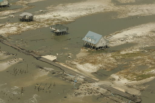


Pictures from online blogs & media (recmod.com):



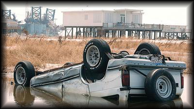

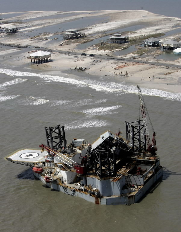
One of a few oil rigs that drifted into the area (via Associated Press):
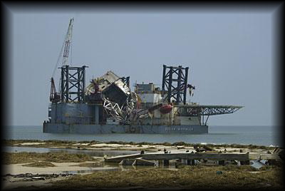
One of a few oil rigs that drifted into the area (via recmod):
Fort Gaines on Dauphin Island (via John Stanton and FortWiki):

Mon Louis Island Pictures (via Alabama Coastal Foundation & FEMA):


Local Damage Photos
Coden / Bayou La Batre
Dauphin Island
Downtown Mobile
Fairhope
Dog River
Stone/George County, MS
Northwest Florida panhandle
Return to main Hurricane Katrina page
Acknowledgements: Page created by Morgan Barry (forecaster).
LAST UPDATED: November 2016
Forecasts
Local
Forecast Discussion
Graphical
Tropical Weather
Fire Weather
Marine Weather
Beach Forecast
Aviation Weather
Air Quality
Current Weather
Satellite
Observed Precipitation
Observations
Climate and Past Weather
Local Data
Drought
Climate Plot for Mobile
Climate Plot for Pensacola
Tropical Cyclone Reports
US Dept of Commerce
National Oceanic and Atmospheric Administration
National Weather Service
Mobile/Pensacola
8400 Airport Blvd Bldg 11
Mobile, AL 36608
251-633-6443
Comments? Questions? Please Contact Us.


