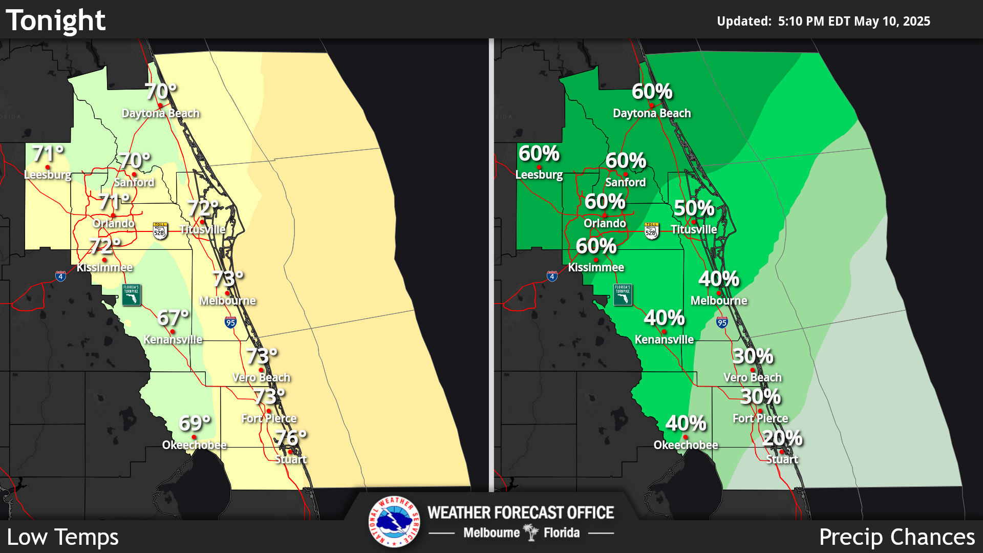
Click/tap image to enlarge | Mostly dry weather is expected tonight. However, isolated onshore moving showers near the Treasure Coast cannot be ruled out. Winds will be breezy at times from the north-northeast up to 10-15mph with gusts to 20mph. Below normal to seasonable low temperatures in the upper 50s to low 70s are expected.
Click/tap image to enlarge | Hazardous boating conditions continue. A Small Craft Advisory is in effect across all east central Florida Atlantic waters today for seas 6 to 8 feet and northeast winds 15 to 20 knots.
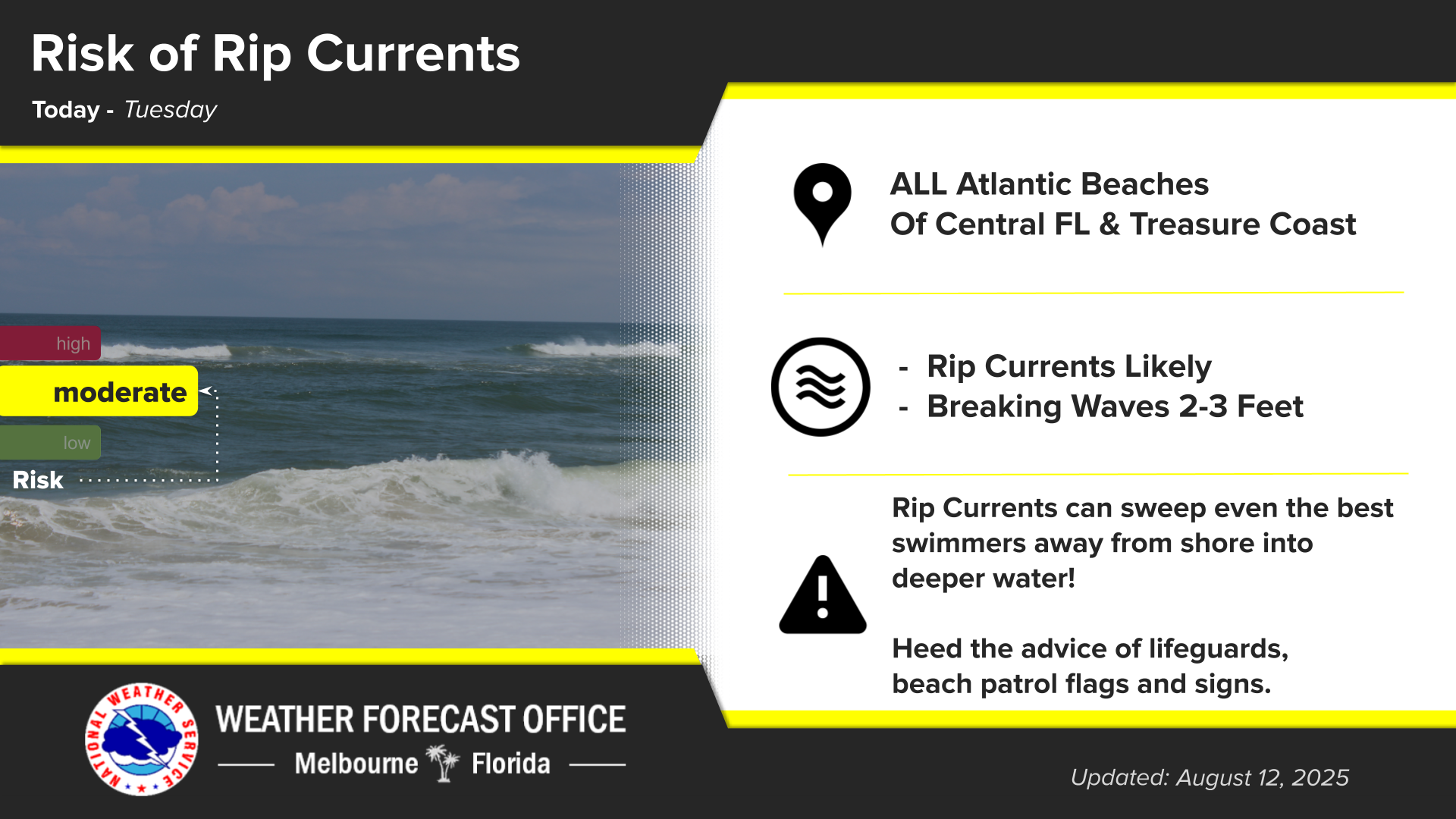
Click/tap image to enlarge | There is a High risk of life-threatening rip currents at all area beaches today. Surf will be 5-7 feet. Entering the surf is strongly discouraged.
Click/tap image to enlarge | Breezy northeast winds are expected to persist through mid to late week, especially along the coast. Winds will then turn windy and gusty once again on Friday and continue through the weekend. A Wind Advisory may be needed for parts of ECFL this weekend. A high risk of rip currents and hazardous boating conditions will continue through mid week. These stronger winds late week will lead to rough surf, large breaking waves, minor to moderate beach erosion, and high risk of rip currents once again at area beaches, as well as hazardous to dangerous boating conditions through at least this weekend. Isolated to scattered showers will be possible through late week before becoming scattered to numerous with isolated lightning storms this weekend.











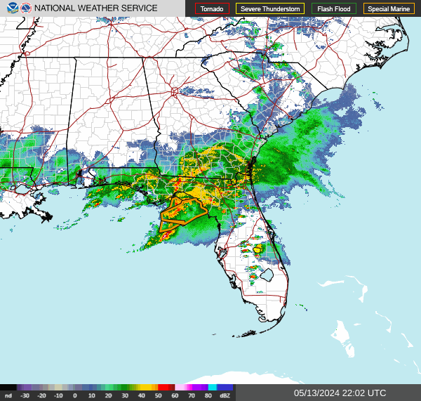 Interactive Radar
 Regional Satellite
 Tropical Weather
 Follow us on X
 Follow us on Facebook
 MLB RSS Feed