Melbourne, FL
Weather Forecast Office
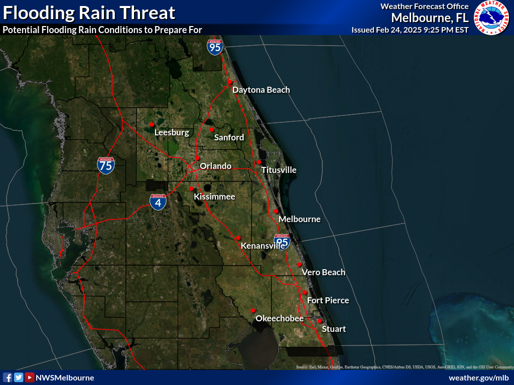
| Flooding Rain Threat | Potential Impacts From Flooding Rains |
|
EXTREME Potential for extreme rainfall flooding |
DEVASTATING TO CATASTROPHIC To be safe, aggressively prepare for the potential of devastating to catastrophic flooding impacts where peak rainfall totals vastly exceed amounts conducive for flash flooding and/or rapid inundation. |
|
HIGH Potential for major rainfall flooding |
EXTENSIVE To be safe, aggressively prepare for the potential of extensive flooding impacts where peak rainfall totals well exceed amounts conducive for flash flooding and/or rapid inundation. |
|
MODERATE Potential for moderate flooding |
SIGNIFICANT To be safe, earnestly prepare for the potential of significant flooding impacts where peak rainfall totals notably exceed amounts conducive for flash flooding and/or rapid inundation. |
|
ELEVATED Potential for some rainfall flooding |
LIMITED To be safe, prepare for the potential of limited flooding impacts where peak rainfall totals are near amounts conducive for flash flooding and/or rapid inundation. |
|
LITTLE TO NONE Little to no rainfall flooding anticipated |
LITTLE TO NONE No immediate preparations needed to guard against excessive tropical rainfall. |
CURRENT HAZARDS
Cold Weather Support
Florida Hazards (CAP Text)
Hazardous Weather Outlook (Graphical)
Hazardous Weather Outlook (Text)
Outlooks
Storm Reports (Graphical)
Storm Reports (Text)
FORECASTS
Area Forecast Discussion
Aviation Weather
Fire Weather
Graphical
Marine Weather
Probabilistic
Text Products
Tropical Weather
Winter
CURRENT WEATHER
Local Analysis
Observations
Precip Analysis
Satellite Images
Rivers/Lakes
RADAR IMAGERY
Melbourne Standard
Melbourne Enhanced
Regional - Southeast
Area Radars
US Dept of Commerce
National Oceanic and Atmospheric Administration
National Weather Service
Melbourne, FL
421 Croton Road
Melbourne, FL 32935
321-255-0212
Comments? Questions? Please Contact Us.

